Ashuelot River
 Photo: Doug Kerr, CC BY-SA 2.0 (via Wikimedia Commons)
- 8.2 mi
- distance
- 1,589 ft
- high point
- Aug–Oct
- best months
The Ashuelot River is a paddling route in northern New Hampshire, about 2.5 miles from the small community of Gee Mill. It's a destination for canoeists and paddlers looking for time on the water in this corner of the state. Summer is the most comfortable time to paddle here. Typical July averages from the Mt Sunapee weather station, about 12 miles away, run to highs near 79°F and lows around 59°F, while winter is cold, with January highs in the upper 20s. Several trails lie close by, including the Sabbath Trail and the Silver Mountain Trail, both within about 2 miles. The Bald Mountain Preserve, a climbing area, is about 4 miles away. The Connecticut River Paddlers' Trail offers more paddling roughly 7 miles from the river.
Local outfitters
- Connecticut River Paddlers Trail7 mi away
- Sargents Marina16 mi away
Not on Roamze yet. Their page has how to reach them.
- Sabbath TrailHiking1.9 mi
- Silver Mountain TrailHiking2.1 mi
- Camp Morgan TrailHiking2.3 mi
 Elisabeth B. McIntire TrailHikingPhoto: US Fish and Wildlife Service - Recovery Act Team, CC BY 2.0 (via Flickr)3.7 mi
- Bald Mountain PreserveRock climbing3.8 mi
- Connecticut River Paddlers' TrailCanoeing6.7 mi
- Beard BrookCanoeing8.1 mi
- Shedd BrookCanoeing8.8 mi
Source: Roamze catalog (indexable pages within 10 miles, PostGIS distance)
 West Branch Warner RiverCanoeing · ~18 min drivePhoto: Ken Gallager at English Wikipedia, CC BY-SA 3.0 (via Wikimedia Commons)
- Warren Lake Boat AccessBoat launch · ~13 min drive
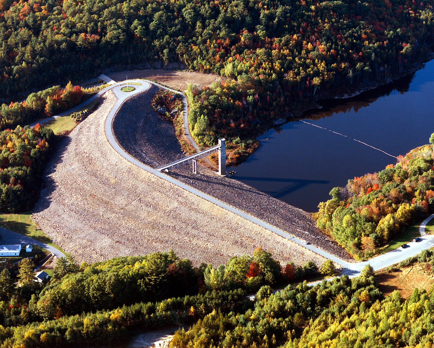 Otter BrookCanoeing · ~22 min drivePhoto: U.S. Army Corps of Engineers, photographer not specified or unknown, Public domain (via Wikimedia Commons)
- Lake Sunapee State Park Boat RampBoat launch · ~23 min drive
 Warner RiverCanoeing · ~25 min drivePhoto: Ken Gallager at en.wikipedia, Public domain (via Wikimedia Commons)
- Bradford Town Boat RampBoat launch · ~23 min drive
 North Branch Sugar RiverCanoeing · ~38 min drivePhoto: Ken Gallager at Wikipedia, CC BY-SA 4.0 (via Wikimedia Commons)
- Hoyts LandingBoat launch · ~26 min drive
 Blackwater RiverCanoeing · ~41 min drivePhoto: Ken Gallager, CC BY-SA 4.0 (via Wikimedia Commons)
- Sunapee Harbor Boat RampBoat launch · ~27 min drive
Best time to visit Ashuelot River
Best months: August–October. Best months have typical highs of 55–85 °F, lows of 30 °F or warmer (32 °F where the station doesn't record snow), at most one snowy day and no more than 12 wet days.
Jan
29° / 13°
11 wet
Feb
31° / 15°
9 wet
Mar
40° / 22°
10 wet
Apr
53° / 33°
10 wet
May
66° / 44°
13 wet
Jun
75° / 54°
13 wet
Jul
79° / 59°
13 wet
Aug
77° / 57°
11 wet
Sep
70° / 50°
10 wet
Oct
57° / 39°
12 wet
Nov
45° / 29°
11 wet
Dec
34° / 20°
12 wet
Typical high / low (°F) and days with rain or snow, 1991–2020. Measured at Mt Sunapee, NH, 12.1 mi away at 1,275 ft. This station doesn't record snowfall. Source: NOAA NCEI U.S. Climate Normals 1991–2020.
