River Trail
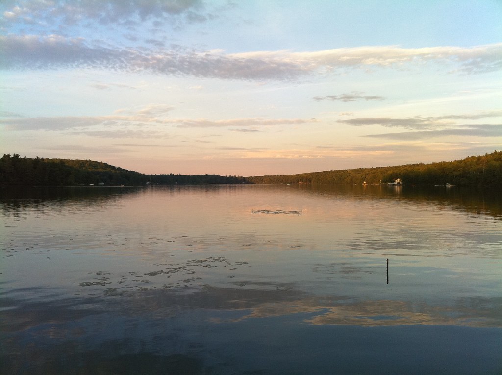 Photo: dewittn, CC BY-SA 2.0 (via Flickr)
- 0.5 mi
- round trip
- 229 ft
- climb
- 1,319 ft
- high point
- Out and back
- route
- Apr–Oct
- best months
River Trail is an easy, short out-and-back hike in southern New Hampshire, about half a mile from the town of Harrisville. The route is roughly 0.9 miles long and runs between two small hills, with a high point of 1,319 feet and a low of 1,238 feet. The steepest stretch comes about a third of the way in, with an 8% grade. The trail's elevation gain is 229 feet for the whole trip, so it works well as a quick outing. Late spring through early fall is the most comfortable time to go. Typical averages from a nearby weather station run from highs around 68°F in May to about 73°F in September, with July peaking near 83°F. That station sits several hundred feet lower than the trail, so temperatures up high run a little cooler. The trail is close to two others. Harrisville Rail Trail and Zophar Willard Trail are both about 0.2 miles away. Farther out, Nubanusit Brook offers canoeing about 5 miles away, and Edward MacDowell Lake Day Use Facilities has camping about 6 miles away.
- Harrisville Rail TrailHiking0.2 mi
- Zophar Willard TrailHikingPhoto: dewittn, CC BY-SA 2.0 (via Flickr)0.2 mi
- Nubanusit BrookCanoeing4.9 mi
- Edward MacDowell Lake Day Use FacilitiesCamping6.3 mi
- Parking BouldersRock climbing6.3 mi
- De Pierrefeu BoulderRock climbing6.3 mi
- Spacious Skies Campgrounds - Seven MaplesCamping6.4 mi
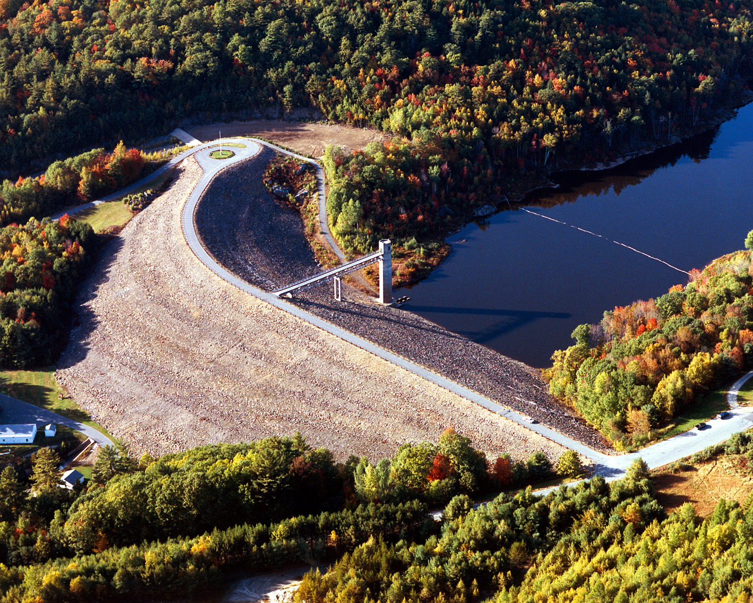 Otter BrookCanoeingPhoto: U.S. Army Corps of Engineers, photographer not specified or unknown, Public domain (via Wikimedia Commons)6.5 mi
Source: Roamze catalog (indexable pages within 10 miles, PostGIS distance)
- Zophar Willard TrailHiking · Next doorPhoto: dewittn, CC BY-SA 2.0 (via Flickr)
 Cadot TrailHiking · ~6 min drivePhoto: Steven Lamonde, CC BY 4.0 (via Wikimedia Commons)
 Metacomet - Monadnock TrailHiking · ~9 min drivePhoto: Karlunun, CC BY-SA 4.0 (via Wikimedia Commons)
 Dublin Rotary TrailHiking · ~4 min drivePhoto: Unknown authorUnknown author, Public domain (via Wikimedia Commons)
- Smith Summit TrailHiking · ~10 min drivePhoto: Karlunun, CC BY-SA 4.0 (via Wikimedia Commons)
- Thumbs Up TrailHiking · ~6 min drivePhoto: Steven Lamonde, CC BY 4.0 (via Wikimedia Commons)
 Amphitheatre TrailHiking · ~10 min drivePhoto: ihamr, CC BY 2.0 (via Flickr)
 Thumbs Down TrailHiking · ~7 min drivePhoto: Under the same moon..., CC BY 2.0 (via Flickr)
- Gorge TrailHiking · ~4 min drive
 Hiroshi Loop TrailHiking · ~8 min drivePhoto: Under the same moon..., CC BY 2.0 (via Flickr)
Best time to visit River Trail
Best months: April–October. Best months have typical highs of 55–85 °F, lows of 30 °F or warmer (32 °F where the station doesn't record snow), at most one snowy day and no more than 12 wet days.
Jan
32° / 13°
Feb
35° / 14°
Mar
43° / 21°
Apr
56° / 34°
May
68° / 45°
Jun
77° / 55°
Jul
83° / 60°
Aug
80° / 58°
Sep
73° / 51°
Oct
60° / 38°
Nov
47° / 29°
Dec
37° / 20°
Typical high / low (°F) and days with rain or snow, 1991–2020. Measured at Jaffrey Silver Rch Airpark, NH, 10 mi away at 1,030 ft. This station doesn't record snowfall. Source: NOAA NCEI U.S. Climate Normals 1991–2020.

Map and trail data © OpenStreetMap contributors
