Presidential Rail Trail
- 1.5 mi
- round trip
- 263 ft
- climb
- 1,187 ft
- high point
- Out and back
- route
The Presidential Rail Trail is an easy, out-and-back hike of about 3 miles, with a total elevation gain of 263 feet, that starts and ends near Quebec Junction, New Hampshire, about a mile from town. The trail's gentle, flat profile makes it a straightforward outing, and the climb peaks at about 1,187 feet, with the steepest stretch coming early at roughly 0.37 miles. Summer is the most comfortable time to go. Typical averages from a nearby weather station run to highs around 75 to 80°F in June and July, while winter highs stay in the 20s and 30s. The trail is estimated to take about an hour. Several other spots lie within a short drive. Little Cherry Pond Trail is about 1.6 miles away, and Owls Head is about 2.5 miles off. Twin Mountain / Mt. Washington KOA Holiday, a campground, and Johns River, a canoeing route, are both about 3.8 miles away.
- Little Cherry Pond TrailHiking1.6 mi
- Owls HeadHiking2.5 mi
- Twin Mountain / Mt. Washington KOA HolidayCamping3.8 mi
- Johns RiverCanoeing3.8 mi
- Cherry Mountain Road CampingCamping5.6 mi
 Israel RiverCanoeingPhoto: Ken Gallager at en.wikipedia, Public domain (via Wikimedia Commons)6 mi
- Sugarloaf, North MtnRock climbing7.1 mi
- SugarloafRock climbing7.5 mi
Source: Roamze catalog (indexable pages within 10 miles, PostGIS distance)
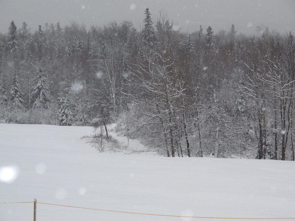 Whitefield Heritage TrailHiking · ~6 min drivePhoto: BillDamon, CC BY 2.0 (via Flickr)
 Starr KingHiking · ~9 min drivePhoto: timsackton, CC BY-SA 2.0 (via Flickr)
- Owls HeadHiking · ~4 min drive
 Whitefield Heritage TrailHiking · ~9 min drivePhoto: Magicpiano, CC BY-SA 4.0 (via Wikimedia Commons)
 New Hampshire Heritage TrailHiking · ~11 min drivePhoto: Magicpiano, CC BY-SA 4.0 (via Wikimedia Commons)
- Martha's MileHiking · ~5 min drive
- Ken Jordan Nature TrailHiking · ~11 min drivePhoto: Magicpiano, CC BY-SA 4.0 (via Wikimedia Commons)
- Around the Mountain Loop TrailHiking · ~12 min drivePhoto: Magicpiano, CC BY-SA 4.0 (via Wikimedia Commons)
- Presidential Rail TrailHiking · ~6 min drive
- New Hampshire Heritage Trail / Around the Mountain Loop TrailHiking · ~12 min drivePhoto: Magicpiano, CC BY-SA 4.0 (via Wikimedia Commons)
Best time to visit Presidential Rail Trail
No month here meets our mild-weather rule. Best months have typical highs of 55–85 °F, lows of 30 °F or warmer (32 °F where the station doesn't record snow), at most one snowy day and no more than 12 wet days.
Jan
27° / 5°
12 wet
Feb
31° / 5°
10 wet
Mar
40° / 16°
13 wet
Apr
54° / 29°
14 wet
May
67° / 39°
15 wet
Jun
75° / 48°
16 wet
Jul
80° / 53°
17 wet
Aug
78° / 51°
16 wet
Sep
71° / 44°
14 wet
Oct
58° / 34°
15 wet
Nov
45° / 25°
14 wet
Dec
33° / 13°
14 wet
Typical high / low (°F) and days with rain or snow, 1991–2020. Measured at Whitefield Mt Washington Ap, NH, 0.7 mi away at 1,074 ft. This station doesn't record snowfall. Source: NOAA NCEI U.S. Climate Normals 1991–2020.
Map and trail data © OpenStreetMap contributors
