Liberty Springs
Campground
Campground · 1.9 mi from the trail
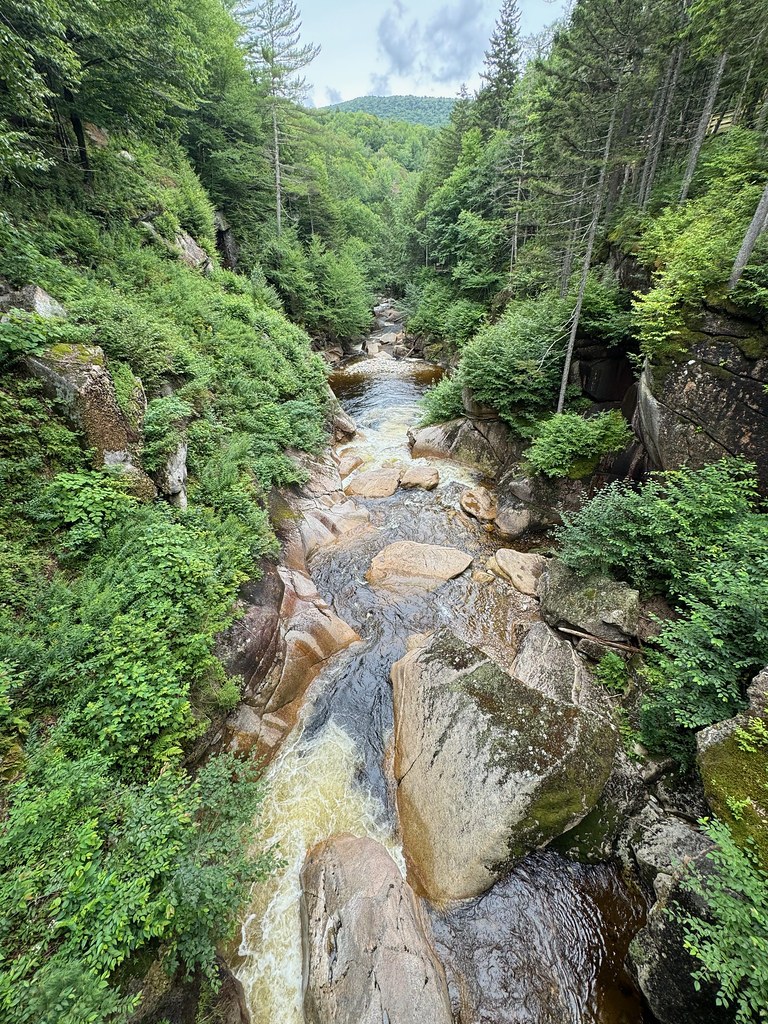 Photo: daveynin, CC BY 2.0 (via Flickr)
Clear at last check
Weather is good · OpenWeather · checked 12 h ago
Closure in the area
There's a closure order in Appalachian National Scenic Trail. It doesn't name Pemi Trail, so check the source for the area it covers.
List of trail closures post-Hurricane Helene
Park closure covering Appalachian National Scenic Trail · NPS · Appalachian National Scenic Trail
Black Bears Frequenting the McAfee Knob Area in Virginia
Park alert covering Appalachian National Scenic Trail · NPS · Appalachian National Scenic Trail
As of · Source: NPS · Appalachian National Scenic Trail. Agencies don't list every closure — check before you go.
Pemi Trail is an easy out-and-back hike in New Hampshire, set within the Appalachian National Scenic Trail corridor. The route is about 4.6 miles long, with a total elevation gain of 473 feet, and it starts at roughly 1,491 feet, rising to a high point of 1,757 feet before returning to the starting level. Summer is the most comfortable time to go. Typical averages from a nearby weather station in Lincoln run to highs around 80°F in July, with lows near 57°F. That station sits well below the trail, so temperatures on the higher ground run cooler. The trip takes about two hours. Basin Cascades and Whitehouse Trail are both within a mile, and Flume Gorge Trail is just under a mile away. For an overnight stay, Liberty Springs campground is about 1.9 miles off.
Liberty Springs
Campground
 If it rainsKen Gallager, CC BY-SA 4.0 · Wikimedia Commons
Places © OpenStreetMap contributors, Places © Overture Maps Foundation · Photos: Ken Gallager, CC BY-SA 4.0 (commons)
More in Bradford Basin CascadesHikingPhoto: matt.a, CC BY 3.0 (via Wikimedia Commons)0.7 mi
 Flume Gorge TrailHikingPhoto: daveynin, CC BY 2.0 (via Flickr)0.9 mi
 Pemigewasset RiverCanoeingPhoto: Public domain (via Wikimedia Commons)1.4 mi
Source: Roamze catalog (indexable pages within 10 miles, PostGIS distance)
Basin CascadesHiking · ~1 min drivePhoto: matt.a, CC BY 3.0 (via Wikimedia Commons)Flume Gorge TrailHiking · ~2 min drivePhoto: daveynin, CC BY 2.0 (via Flickr) Hi-Cannon TrailHiking · ~3 min drivePhoto: matt.a, CC BY 3.0 (via Wikimedia Commons)
 Kinsman Ridge TrailHiking · ~5 min drivePhoto: matt.a, CC BY 3.0 (via Wikimedia Commons)
 Pemi TrailHiking · ~6 min drivePhoto: Jeff Egnaczyk from Brookline, MA, CC BY 2.0 (via Wikimedia Commons)
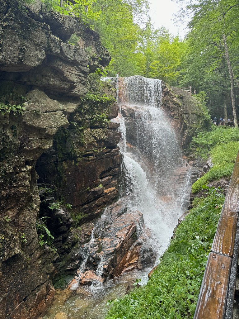 Flume SlideHiking · ~2 min drivePhoto: daveynin, CC BY 2.0 (via Flickr)
 Franconia Ridge TrailHiking · ~5 min drivePhoto: matt.a, CC BY 3.0 (via Wikimedia Commons)
 Twenty TwentyHiking · ~7 min drivePhoto: matt.a, CC BY 3.0 (via Wikimedia Commons)
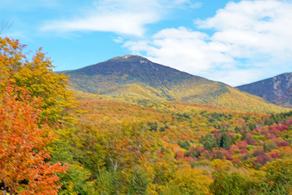 Mount Pemigewasset TrailHiking · ~2 min drivePhoto: dgjarvis10@gmail.com, CC BY-SA 2.0 (via Flickr)Lonesome Lake TrailHiking · ~5 min drivePhoto: matt.a, CC BY 3.0 (via Wikimedia Commons)
Best months: May–October. Best months have typical highs of 55–85 °F, lows of 30 °F or warmer (32 °F where the station doesn't record snow), at most one snowy day and no more than 12 wet days.
Jan
28° / 8°
Feb
31° / 9°
Mar
40° / 19°
Apr
54° / 30°
May
66° / 42°
Jun
75° / 51°
Jul
80° / 57°
Aug
78° / 54°
Sep
72° / 47°
Oct
58° / 36°
Nov
45° / 26°
Dec
35° / 16°
Typical high / low (°F) and days with rain or snow, 1991–2020. Measured at Lincoln Nepp, NH, 4.8 mi away at 807 ft. The station sits about 1,000 ft lower than this place, so expect it a little cooler here. This station doesn't record snowfall. Source: NOAA NCEI U.S. Climate Normals 1991–2020.
Map and trail data © OpenStreetMap contributors

