Liberty Springs
- from $15
- fee
Is Liberty Springs open right now?
Closure in the area
There's a closure order in White Mountain National Forest. It doesn't name Liberty Springs, so check the source for the area it covers (3 listed).
Wild River Fire - Androscoggin Ranger District
Agency closure covering White Mountain National Forest · USFS · White Mountain National Forest
List of trail closures post-Hurricane Helene
Park closure covering Appalachian National Scenic Trail · NPS · Appalachian National Scenic Trail
Rattlesnake Fire – Pemigewasset Ranger District
Agency closure covering White Mountain National Forest · USFS · White Mountain National Forest
Black Bears Frequenting the McAfee Knob Area in Virginia
Park alert covering Appalachian National Scenic Trail · NPS · Appalachian National Scenic Trail
Town Hall Road Camping and Fire Restrictions
Agency alert covering White Mountain National Forest · USFS · White Mountain National Forest
As of · Source: USFS · White Mountain National Forest. Agencies don't list every closure — check before you go.
- At 3,811 ft
- Pemigewasset Ranger DistrictAppalachian National Scenic Trail · White Mountain National Forest
Liberty Springs is a tent campground on Mt. Liberty in New Hampshire's White Mountain National Forest, within the Pemigewasset Ranger District and along the Appalachian National Scenic Trail. It sits 0.3 miles below the junction of the Liberty Spring Trail (a section of the Appalachian Trail) and the Franconia Ridge Trail. The site is a small, simple base for overnight trips on the trails that pass through the area. It offers seven single tent pads and three double tent pads. A composting privy and a dishwashing station are provided, and the water source is an excellent spring. A seasonal caretaker is on hand. The Forest Service manages the land, and a fee is charged for stays. Vault toilets are available among the facilities. Nearby, the Mt. Liberty, Franconia Notch climbing area is 0.3 miles away. The Franconia Ridge Trail and Flume Slide are both about 1.2 miles off, and the Pemigewasset River, a canoeing route, is 2.4 miles away.
- Mt. Liberty, Franconia NotchRock climbing0.3 mi
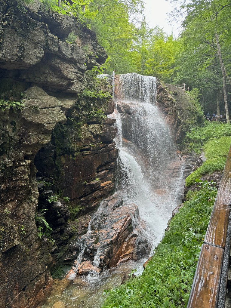 Flume SlideHikingPhoto: daveynin, CC BY 2.0 (via Flickr)1.2 mi
 Franconia Ridge TrailHikingPhoto: matt.a, CC BY 3.0 (via Wikimedia Commons)1.2 mi
- OsseoHikingPhoto: matt.a, CC BY 3.0 (via Wikimedia Commons)1.2 mi
 Pemigewasset RiverCanoeingPhoto: Public domain (via Wikimedia Commons)2.4 mi
 Metal WallsRock climbingPhoto: Percival Kestreltail, CC BY-SA 4.0 (via Wikimedia Commons)2.5 mi
- Franconia Brook CampsitesCamping4 mi
- Kinsman PondCamping4.4 mi
Source: Roamze catalog (indexable pages within 10 miles, PostGIS distance)
- Russell Pond CampgroundCamping · ~13 min drive
- Osceola Vista CampgroundCamping · ~20 min drive
- Sugarloaf 2 CampgroundCamping · ~21 min drive
- Liberty Spring TentsiteCamping · Next door
- Lafayette CampgroundCamping · ~4 min drive
- Franconia Brook TentsiteCamping · ~7 min drive
- Thirteen FallsCamping · ~7 min drive
- Kinsman PondCamping · ~8 min drive
- Hancock CampgroundCamping · ~8 min drive
- Cannon Mountain RV ParkCamping · ~8 min drive
Also worth it near here
- Flume SlideHiking · ~2 min drivePhoto: daveynin, CC BY 2.0 (via Flickr)
- Pemigewasset RiverCanoeing · ~4 min drivePhoto: Public domain (via Wikimedia Commons)
- Metal WallsRock climbing · ~4 min drivePhoto: Percival Kestreltail, CC BY-SA 4.0 (via Wikimedia Commons)
 Owls HeadSummit · ~4 min drivePhoto: Ken Gallager at English Wikipedia, Public domain (via Wikimedia Commons)
