Pemi Trail
 Photo: Jeff Egnaczyk from Brookline, MA, CC BY 2.0 (via Wikimedia Commons)
- 1.2 mi
- round trip
- 487 ft
- climb
- 1,923 ft
- high point
- Out and back
- route
- Sep
- best months
Pemi Trail is an easy out-and-back hike of about 2.5 miles in New Hampshire, roughly 2.3 miles from the town of Mittersill. The route rises from a low point of 1,756 feet to a high of 1,923 feet, with a total elevation gain of 487 feet over the course of the round trip. The climb is gentle, and the steepest section comes early, at about 0.4 miles in, with a grade of about 9 percent. Summer is the most comfortable time to go. Typical averages from the nearby Bethlehem weather station put July highs around 80°F with lows near 53°F, and the station sits about 740 feet below the trail, so temperatures on the higher ground run a bit cooler. The trail makes an easy pairing with other outings in the area. The Torcher and Slabs climbing areas lie within a quarter mile, Greenleaf is about 0.8 miles away, and Coppermine Shelter offers camping roughly 2.3 miles off.
- The TorcherRock climbing0.1 mi
- SlabsRock climbing0.3 mi
- Moby Grape AreaRock climbing0.4 mi
 GreenleafHikingPhoto: Wesman83, CC BY-SA 3.0 (via Wikimedia Commons)0.8 mi
- Old Bridle PathHikingPhoto: Jeff Egnaczyk from Brookline, MA, CC BY 2.0 (via Wikimedia Commons)1.1 mi
- Coppermine ShelterCamping2.3 mi
- Kinsman PondCamping3.1 mi
 Pemigewasset RiverCanoeingPhoto: Public domain (via Wikimedia Commons)4.6 mi
Source: Roamze catalog (indexable pages within 10 miles, PostGIS distance)
- GreenleafHiking · ~1 min drivePhoto: Wesman83, CC BY-SA 3.0 (via Wikimedia Commons)
 Hi-Cannon TrailHiking · ~2 min drivePhoto: matt.a, CC BY 3.0 (via Wikimedia Commons)
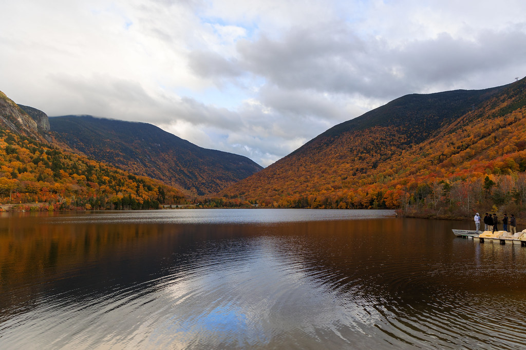 Loop TrailHiking · ~3 min drivePhoto: Ktr101, CC BY-SA 2.0 (via Flickr)
 Kinsman Ridge TrailHiking · ~5 min drivePhoto: matt.a, CC BY 3.0 (via Wikimedia Commons)
- Old Bridle PathHiking · ~2 min drivePhoto: Jeff Egnaczyk from Brookline, MA, CC BY 2.0 (via Wikimedia Commons)
- Lonesome Lake TrailHiking · ~3 min drivePhoto: matt.a, CC BY 3.0 (via Wikimedia Commons)
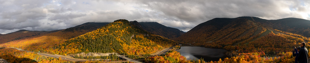 Notch-Way TrailHiking · ~3 min drivePhoto: Ktr101, CC BY-SA 2.0 (via Flickr)
- Falling WatersHiking · ~3 min drivePhoto: Jeff Egnaczyk from Brookline, MA, CC BY 2.0 (via Wikimedia Commons)
 Owls Head PathHiking · ~6 min drivePhoto: matt.a, CC BY 3.0 (via Wikimedia Commons)
 Bald Mtn - Artists Bluff PathHiking · ~3 min drivePhoto: Ktr101, CC BY-SA 2.0 (via Flickr)
Best time to visit Pemi Trail
Best months: September. Best months have typical highs of 55–85 °F, lows of 30 °F or warmer (32 °F where the station doesn't record snow), at most one snowy day and no more than 12 wet days.
Jan
28° / 3°
16 wet
Feb
30° / 4°
12 wet
Mar
40° / 14°
14 wet
Apr
53° / 27°
13 wet
May
67° / 39°
16 wet
Jun
76° / 48°
16 wet
Jul
80° / 53°
15 wet
Aug
79° / 50°
13 wet
Sep
72° / 42°
12 wet
Oct
58° / 32°
14 wet
Nov
45° / 24°
14 wet
Dec
33° / 12°
16 wet
Typical high / low (°F) and days with rain or snow, 1991–2020. Measured at Bethlehem 2, NH, 10.2 mi away at 1,180 ft. The station sits about 700 ft lower than this place, so expect it a little cooler here. This station doesn't record snowfall. Source: NOAA NCEI U.S. Climate Normals 1991–2020.

Map and trail data © OpenStreetMap contributors
