Franconia Ridge Trail
 Photo: matt.a, CC BY 3.0 (via Wikimedia Commons)
- 1.3 mi
- round trip
- 1,120 ft
- climb
- 4,382 ft
- high point
- Out and back
- route
Is Franconia Ridge Trail open right now?
Closure in the area
There's a closure order in White Mountain National Forest. It doesn't name Franconia Ridge Trail, so check the source for the area it covers (2 listed).
Wild River Fire - Androscoggin Ranger District
Agency closure covering White Mountain National Forest · USFS · White Mountain National Forest
Rattlesnake Fire – Pemigewasset Ranger District
Agency closure covering White Mountain National Forest · USFS · White Mountain National Forest
Town Hall Road Camping and Fire Restrictions
Agency alert covering White Mountain National Forest · USFS · White Mountain National Forest
Lincoln Woods Trail Closure
Agency alert covering White Mountain National Forest · USFS · White Mountain National Forest
Forest Roads Status
Agency alert covering White Mountain National Forest · USFS · White Mountain National Forest
As of · Source: USFS · White Mountain National Forest. Agencies don't list every closure — check before you go.
Franconia Ridge Trail is a hard out-and-back hike in New Hampshire's White Mountain National Forest, within the Pemigewasset Ranger District. The trail is about 2.6 miles long, with a total elevation gain of 1,120 feet, and it starts at roughly 4,185 feet, rising to a high point of 4,382 feet. The climb is steady, and the steepest stretch comes at about 0.97 miles in, where the grade reaches 30 percent. The route is rated hard, and the round trip covers about 2.6 miles with roughly 1,120 feet of gain and loss. Plan on about 1.5 hours for the hike. Osseo lies just 0.1 mile away, and Mt. Liberty, Franconia Notch is about 0.9 mile off. Liberty Springs campground is 1.2 miles away, and Flume Slide is 1.8 miles away.
Conditions and forecast on Mount Liberty
Daily highs and lows, wind and the chance of precipitation at the summit and route start for the next 7 days, from the Open-Meteo model.
- OsseoHikingPhoto: matt.a, CC BY 3.0 (via Wikimedia Commons)0.1 mi
- Mt. Liberty, Franconia NotchRock climbing0.9 mi
- Liberty SpringsCamping1.2 mi
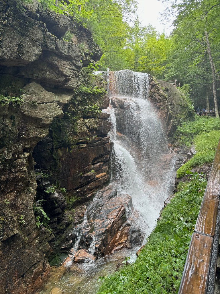 Flume SlideHikingPhoto: daveynin, CC BY 2.0 (via Flickr)1.8 mi
 Owls Head PathHikingPhoto: matt.a, CC BY 3.0 (via Wikimedia Commons)2.1 mi
 Pemigewasset RiverCanoeingPhoto: Public domain (via Wikimedia Commons)2.8 mi
- Franconia Brook CampsitesCamping2.9 mi
- Indian Head BouldersRock climbing3.5 mi
Source: Roamze catalog (indexable pages within 10 miles, PostGIS distance)
- Flume SlideHiking · ~3 min drivePhoto: daveynin, CC BY 2.0 (via Flickr)
- Owls Head PathHiking · ~4 min drivePhoto: matt.a, CC BY 3.0 (via Wikimedia Commons)
 Black PondHiking · ~5 min drivePhoto: Qfamily, CC BY 2.0 (via Flickr)
- BondcliffHiking · ~5 min drivePhoto: Qfamily, CC BY 2.0 (via Flickr)
 Flume Gorge TrailHiking · ~4 min drivePhoto: daveynin, CC BY 2.0 (via Flickr)
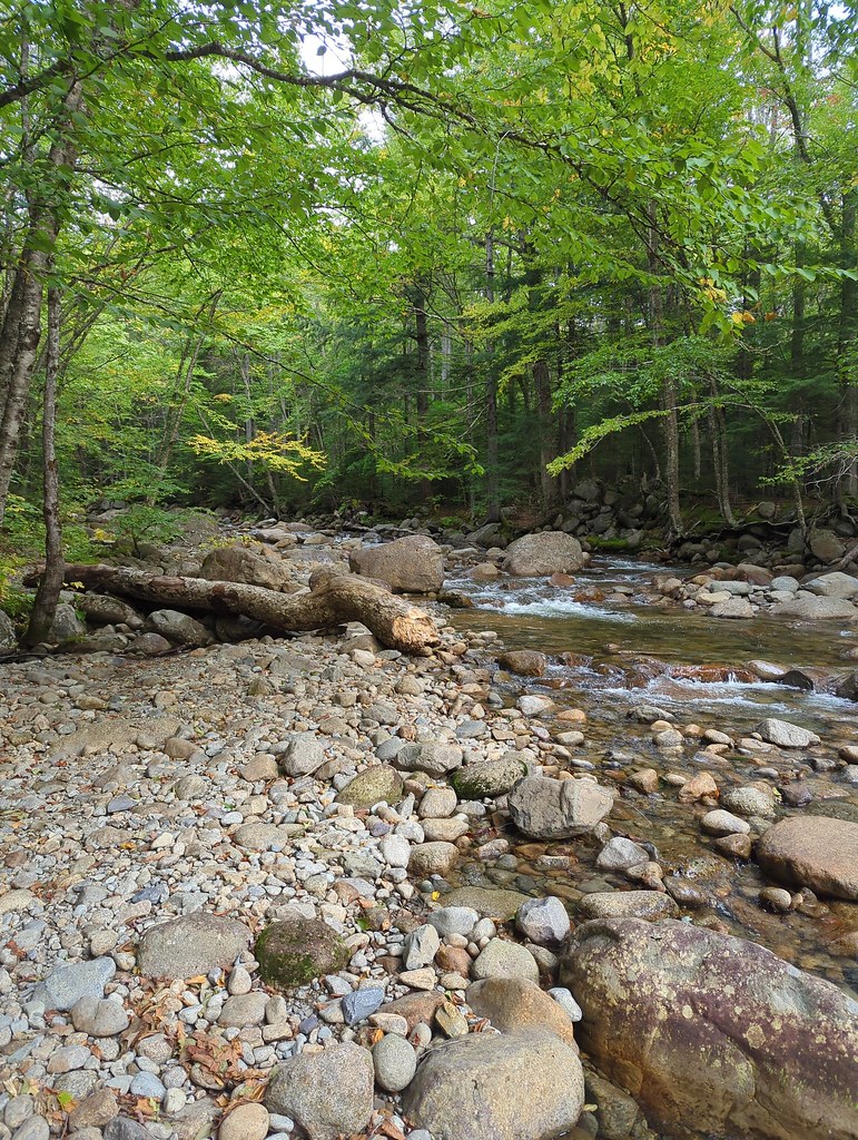 Lincoln BrookHiking · ~5 min drivePhoto: jbylund, CC BY-SA 2.0 (via Flickr)
 Franconia Falls TrailHiking · ~5 min drivePhoto: Qfamily, CC BY 2.0 (via Flickr)
 Kinsman Ridge TrailHiking · ~10 min drivePhoto: matt.a, CC BY 3.0 (via Wikimedia Commons)
- East SideHiking · ~5 min drivePhoto: Qfamily, CC BY 2.0 (via Flickr)
- Franconia BrookHiking · ~5 min drivePhoto: Qfamily, CC BY 2.0 (via Flickr)
Also worth it near here

Route details
- Distance
- 1.3 mi round trip
- Climbing
- About 1,120 ft
- Summit
- 4,452 ft
- Difficulty
- Hard
- Time
- About 0.5 hours
Questions about this route
How long is the Franconia Ridge Trail on Mount Liberty?
About 1.3 mi round trip.
How much elevation gain is on the Franconia Ridge Trail?
About 1,120 ft of climbing round trip.
How hard is the Franconia Ridge Trail?
It is rated hard.
How long does the Franconia Ridge Trail take?
About 0.5 hours round trip.
Map and trail data © OpenStreetMap contributors
