Owls Head Path
 Photo: matt.a, CC BY 3.0 (via Wikimedia Commons)
- 0.9 mi
- round trip
- 1,468 ft
- climb
- 4,024 ft
- high point
- Out and back
- route
Is Owls Head Path open right now?
Closure in the area
There's a closure order in White Mountain National Forest. It doesn't name Owls Head Path, so check the source for the area it covers (2 listed).
Wild River Fire - Androscoggin Ranger District
Agency closure covering White Mountain National Forest · USFS · White Mountain National Forest
Rattlesnake Fire – Pemigewasset Ranger District
Agency closure covering White Mountain National Forest · USFS · White Mountain National Forest
Town Hall Road Camping and Fire Restrictions
Agency alert covering White Mountain National Forest · USFS · White Mountain National Forest
Lincoln Woods Trail Closure
Agency alert covering White Mountain National Forest · USFS · White Mountain National Forest
Forest Roads Status
Agency alert covering White Mountain National Forest · USFS · White Mountain National Forest
As of · Source: USFS · White Mountain National Forest. Agencies don't list every closure — check before you go.
Owls Head Path is a 1.8-mile out-and-back hike in the Pemigewasset Wilderness, part of the Pemigewasset Ranger District of White Mountain National Forest in New Hampshire. The trail is managed by the Forest Service and rated hard, with a total elevation gain of 1,468 feet from the start at about 2,583 feet to the high point at 4,024 feet. The climb is front-loaded, so the steepest part comes early in the route. The trip takes about 1.5 hours. The trail is a short, steep climb into the wilderness, and the high point sits well above the starting elevation. The route is a single out-and-back, so the total gain and loss are the same. The surrounding area offers plenty to pair with the hike. Mt. Liberty, Franconia Notch, is about 2 miles away, and the Franconia Ridge Trail and Liberty Springs campground are each about 2.1 miles off. The Pemigewasset River, roughly 4.5 miles away, is an option for paddling.
Keep exploring — more trails worth the drive
 Photo: matt.a, CC BY 3.0 (via Wikimedia Commons)
Franconia Ridge Trail
~4 min drive
2.64-mile out-and-back trail in New Hampshire with 1,120 ft gain and 4,382 ft max elevation.
 Photo: Steve Shook from Moscow, Idaho, USA, CC BY 2.0 (via Wikimedia Commons)
Twin Brook
~4 min drive
5.20-mile out-and-back trail in New Hampshire with 2,197 ft of elevation gain.
 Photo: Qfamily, CC BY 2.0 (via Flickr)
Bondcliff
~6 min drive
16.34-mile out-and-back trail in New Hampshire with 3,642 ft gain.
 Photo: Qfamily, CC BY 2.0 (via Flickr)
Franconia Falls Trail
~6 min drive
2.08-mile out-and-back hike in New Hampshire with 824 ft of elevation gain
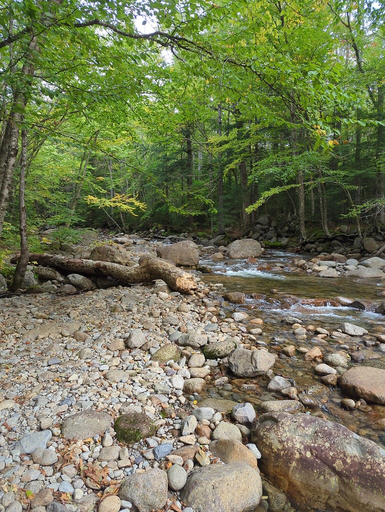 Photo: jbylund, CC BY-SA 2.0 (via Flickr)
Lincoln Brook
~4 min drive
13.80-mile out-and-back trail in New Hampshire with 1,687 ft elevation gain.
 Photo: Wesman83, CC BY-SA 3.0 (via Wikimedia Commons)
Greenleaf
~5 min drive
2.22-mile out-and-back trail in New Hampshire with 1,144 ft elevation gain.
 Photo: Jeff Egnaczyk from Brookline, MA, CC BY 2.0 (via Wikimedia Commons)
Pemi Trail
~6 min drive
1.23-mile out-and-back trail in New Hampshire with 121 ft gain.
 Photo: matt.a, CC BY 3.0 (via Wikimedia Commons)
Hi-Cannon Trail
~6 min drive
1.41-mile out-and-back trail in New Hampshire with 1,292 ft gain.
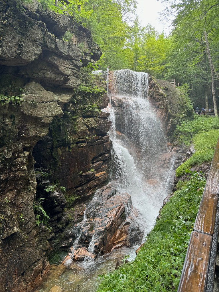 Photo: daveynin, CC BY 2.0 (via Flickr)
Flume Slide
~6 min drive
4.27-mile out-and-back trail in New Hampshire with 2,271 ft elevation gain.
 Photo: matt.a, CC BY 3.0 (via Wikimedia Commons)
Basin Cascades
~6 min drive
1.22-mile out-and-back trail with 348 ft gain in New Hampshire


Map and trail data © OpenStreetMap contributors
