Middle Mountain Trail
 Photo: Magicpiano, CC BY-SA 3.0 (via Wikimedia Commons)
- 1.8 mi
- round trip
- 1,766 ft
- climb
- 2,002 ft
- high point
- Out and back
- route
- Sep
- best months
Middle Mountain Trail is a moderate out-and-back hike in New Hampshire, about 1.7 miles from the town of Shelburne. The trail is 3.6 miles long, with a total elevation gain of 1,766 feet, and it climbs from a starting point of about 1,274 feet to a high point of 2,002 feet. The steepest stretch comes early on, around 0.46 miles from the start, where the grade reaches 33%. Summer is the most comfortable time to go. Typical averages from the Pinkham Notch weather station, about 14 miles away and at a similar elevation, show July highs near 75°F with lows around 53°F. Winters are cold, with January highs averaging about 26°F. The trip takes about two hours. The Yellow Trail lies about 0.4 miles away, and Gates Brook Trail and Austin Brook are both within about a mile. Climbers can find the Main Slab Area roughly 2.8 miles off.
Conditions and forecast on Middle Mountain
Daily highs and lows, wind and the chance of precipitation at the summit and route start for the next 7 days, from the Open-Meteo model.
- Yellow TrailHikingPhoto: Magicpiano, CC BY-SA 3.0 (via Wikimedia Commons)0.4 mi
 Gates Brook TrailHikingPhoto: Magicpiano, CC BY-SA 3.0 (via Wikimedia Commons)0.8 mi
- Austin BrookHikingPhoto: Magicpiano, CC BY-SA 3.0 (via Wikimedia Commons)1.1 mi
- Main Slab AreaRock climbing2.8 mi
- North Bald CapRock climbing3.1 mi
- Lost Boys AreaRock climbing3.2 mi
- Rattle River ShelterCamping3.5 mi
- Hastings CampgroundCamping7 mi
Source: Roamze catalog (indexable pages within 10 miles, PostGIS distance)
- Yellow TrailHiking · Next doorPhoto: Magicpiano, CC BY-SA 3.0 (via Wikimedia Commons)
- Gates Brook TrailHiking · ~1 min drivePhoto: Magicpiano, CC BY-SA 3.0 (via Wikimedia Commons)
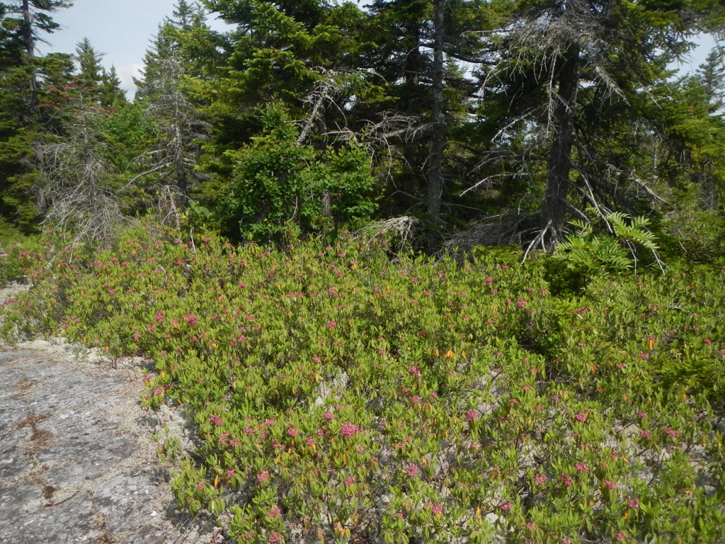 Thistle Hill Shelter - New HampshireHiking · ~6 min drivePhoto: John Hayes (gravelboy), CC BY 2.0 (via Flickr)
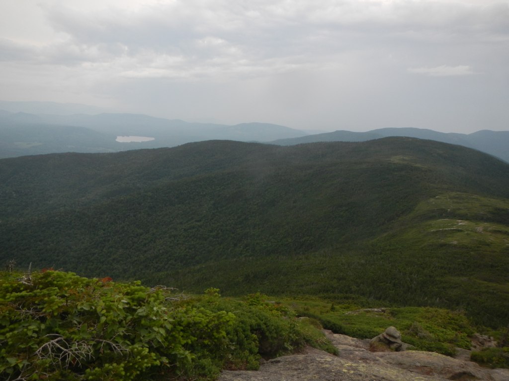 Wright TrailHiking · ~12 min drivePhoto: John Hayes (gravelboy), CC BY 2.0 (via Flickr)
- Mahoosuc TrailHiking · ~6 min drivePhoto: John Hayes (gravelboy), CC BY 2.0 (via Flickr)
- Austin BrookHiking · ~2 min drivePhoto: Magicpiano, CC BY-SA 3.0 (via Wikimedia Commons)
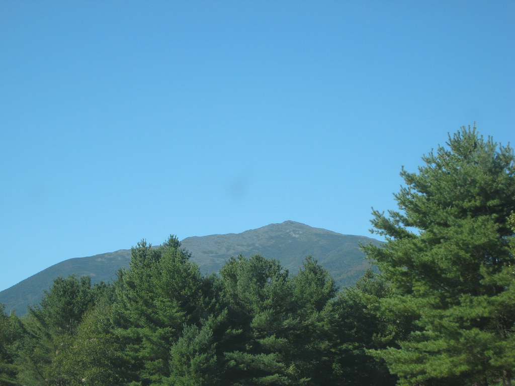 Stony BrookHiking · ~11 min drivePhoto: msprague, CC BY-SA 2.0 (via Flickr)
 Carlo ColHiking · ~9 min drivePhoto: John Hayes (gravelboy), CC BY 2.0 (via Flickr)
- Orange (Wiggin Rock) TrailHiking · ~4 min drivePhoto: Magicpiano, CC BY-SA 3.0 (via Wikimedia Commons)
- Carter-Moriah TrailHiking · ~9 min drive
Best time to visit Middle Mountain Trail
Best months: September. Best months have typical highs of 55–85 °F, lows of 30 °F or warmer (32 °F where the station doesn't record snow), at most one snowy day and no more than 12 wet days.
Jan
26° / 6°
14 wet
Feb
28° / 7°
13 wet
Mar
36° / 15°
14 wet
Apr
49° / 27°
13 wet
May
62° / 39°
15 wet
Jun
70° / 48°
14 wet
Jul
75° / 53°
14 wet
Aug
74° / 52°
13 wet
Sep
68° / 45°
12 wet
Oct
54° / 35°
14 wet
Nov
42° / 24°
14 wet
Dec
31° / 14°
16 wet
Typical high / low (°F) and days with rain or snow, 1991–2020. Measured at Pinkham Notch, NH, 14.3 mi away at 2,025 ft. This station doesn't record snowfall. Source: NOAA NCEI U.S. Climate Normals 1991–2020.


Route details
- Distance
- 1.8 mi round trip
- Climbing
- About 1,766 ft
- Summit
- 2,008 ft
- Difficulty
- Moderate
- Time
- About 1 hour
Questions about this route
How long is the Middle Mountain Trail on Middle Mountain?
About 1.8 mi round trip.
How much elevation gain is on the Middle Mountain Trail?
About 1,766 ft of climbing round trip.
How hard is the Middle Mountain Trail?
It is rated moderate.
How long does the Middle Mountain Trail take?
About 1 hour round trip.
Map and trail data © OpenStreetMap contributors
