Valley Way Tent Platforms
Campground
Campground · 2.2 mi from the trail
Closure in the area
There's a closure order in White Mountain National Forest. It doesn't name Link, so check the source for the area it covers (2 listed).
Wild River Fire - Androscoggin Ranger District
Agency closure covering White Mountain National Forest · USFS · White Mountain National Forest
Rattlesnake Fire – Pemigewasset Ranger District
Agency closure covering White Mountain National Forest · USFS · White Mountain National Forest
Town Hall Road Camping and Fire Restrictions
Agency alert covering White Mountain National Forest · USFS · White Mountain National Forest
Lincoln Woods Trail Closure
Agency alert covering White Mountain National Forest · USFS · White Mountain National Forest
Forest Roads Status
Agency alert covering White Mountain National Forest · USFS · White Mountain National Forest
As of · Source: USFS · White Mountain National Forest. Agencies don't list every closure — check before you go.
Link is a hard hike in the Androscoggin Ranger District of White Mountain National Forest in New Hampshire, managed by the Forest Service. The route is an out-and-back that climbs from about 1,760 feet to 4,044 feet, with a total elevation gain of 3,637 feet over 11.2 miles. The steepest stretch comes at about 3.8 miles in, where the grade reaches 48 percent. The trail is natural-surface and allows bikes, but it is not accessible. It is open year-round, and the trip is estimated to take about 5.5 hours. The closest neighbors are the Cliffway and Amphibrach hikes, both within a mile. For an overnight base, Osgood Tent Site and Barnes Field Campground sit about 5 miles away.
Valley Way Tent Platforms
Campground
 If it rainsKen Gallager, CC BY-SA 4.0 · Wikimedia Commons
Places © OpenStreetMap contributors · Photos: Ken Gallager, CC BY-SA 4.0 (commons)
More in North Conway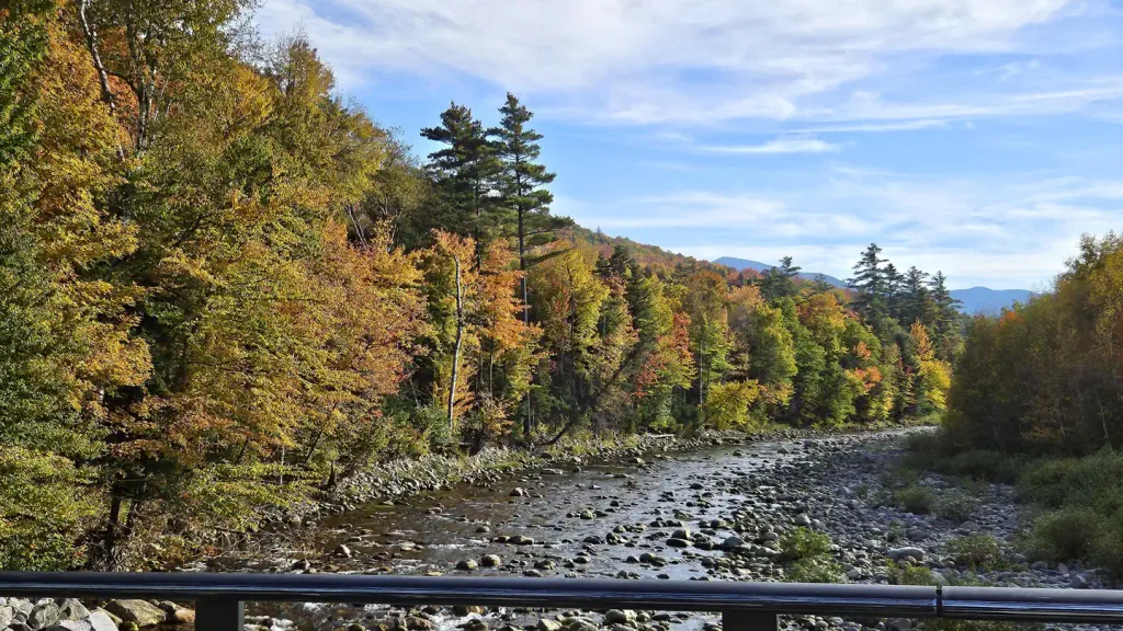 Barnes Field CampgroundCampingPhoto: Recreation.gov (RIDB) / public domain4.8 mi
 Israel RiverCanoeingPhoto: Ken Gallager at en.wikipedia, Public domain (via Wikimedia Commons)5.4 mi
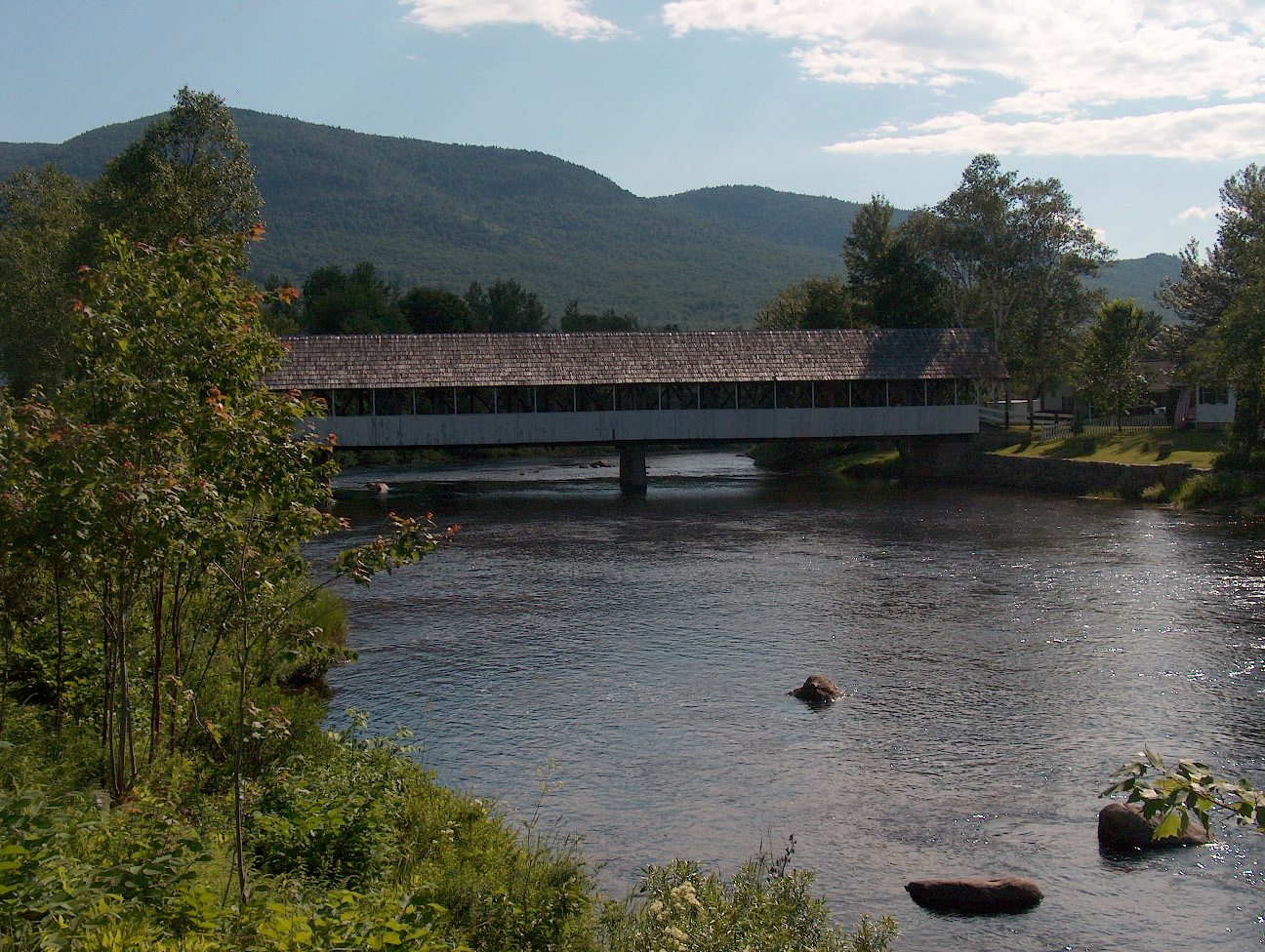 Upper Ammonoosuc RiverCanoeingPhoto: Ken Gallager at English Wikipedia, Public domain (via Wikimedia Commons)7.2 mi
Source: Roamze catalog (indexable pages within 10 miles, PostGIS distance)
 Watson PathHiking · ~3 min drivePhoto: Ktr101, CC BY-SA 2.0 (via Flickr)
 Great GullyHiking · ~4 min drivePhoto: John Hayes (gravelboy), CC BY 2.0 (via Flickr)

