Eliza Brook Shelter
Campground
Campground · 0.7 mi from the trail
Closure in the area
There's a closure order in White Mountain National Forest. It doesn't name Kinsman Ridge Trail, so check the source for the area it covers (3 listed).
Wild River Fire - Androscoggin Ranger District
Agency closure covering White Mountain National Forest · USFS · White Mountain National Forest
List of trail closures post-Hurricane Helene
Park closure covering Appalachian National Scenic Trail · NPS · Appalachian National Scenic Trail
Rattlesnake Fire – Pemigewasset Ranger District
Agency closure covering White Mountain National Forest · USFS · White Mountain National Forest
Black Bears Frequenting the McAfee Knob Area in Virginia
Park alert covering Appalachian National Scenic Trail · NPS · Appalachian National Scenic Trail
Town Hall Road Camping and Fire Restrictions
Agency alert covering White Mountain National Forest · USFS · White Mountain National Forest
As of · Source: USFS · White Mountain National Forest. Agencies don't list every closure — check before you go.
Kinsman Ridge Trail is a hard out-and-back hike in New Hampshire's White Mountain National Forest, on the Pemigewasset Ranger District and within the Appalachian National Scenic Trail corridor. The trail is managed by the Forest Service and stretches about 11.4 miles from start to finish, with a total elevation gain and loss of nearly 3,940 feet over the round trip. That makes it a demanding climb for a full day on foot. The high point on the route is 3,449 feet, and the trail begins at 2,629 feet. The climb is steady, with the steepest stretch around mile 5.3, where the grade reaches about 50 percent. A round trip should take about six hours. Eliza Brook Shelter sits just 0.7 miles from the trail, and the Appalachian Trail passes within about 2 miles. The Mount Pemigewasset Trail and the Indian Head Cliff climbing area are each roughly 2.8 miles away.
Eliza Brook Shelter
Campground
 If it rainsKen Gallager, CC BY-SA 4.0 · Wikimedia Commons
Places © OpenStreetMap contributors, Places © Overture Maps Foundation · Photos: Ken Gallager, CC BY-SA 4.0 (commons)
More in BradfordDaily highs and lows, wind and the chance of precipitation at the summit and route start for the next 7 days, from the Open-Meteo model.
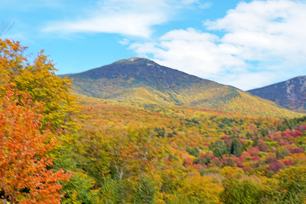 Mount Pemigewasset TrailHikingPhoto: dgjarvis10@gmail.com, CC BY-SA 2.0 (via Flickr)2.8 mi
 Pemigewasset RiverCanoeingPhoto: Public domain (via Wikimedia Commons)3.7 mi
Source: Roamze catalog (indexable pages within 10 miles, PostGIS distance)
Mount Pemigewasset TrailHiking · ~5 min drivePhoto: dgjarvis10@gmail.com, CC BY-SA 2.0 (via Flickr) Kinsman Ridge TrailHiking · ~5 min drivePhoto: matt.a, CC BY 3.0 (via Wikimedia Commons)
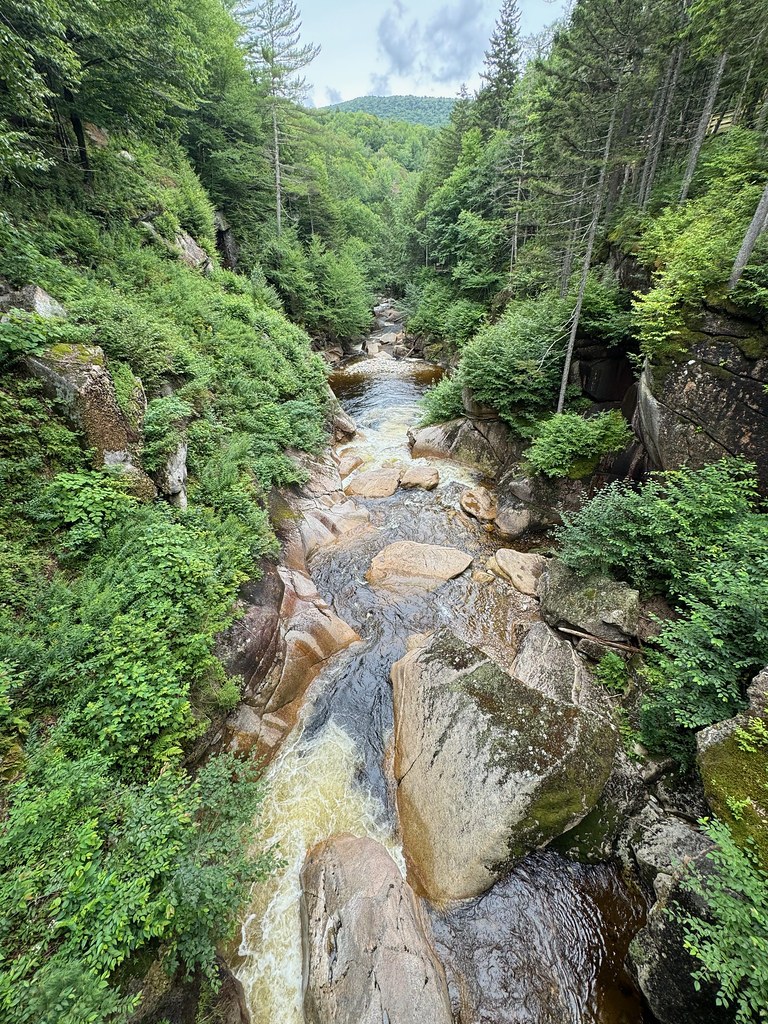 Pemi TrailHiking · ~6 min drivePhoto: daveynin, CC BY 2.0 (via Flickr)
 Hi-Cannon TrailHiking · ~8 min drivePhoto: matt.a, CC BY 3.0 (via Wikimedia Commons)Kinsman PondHiking · ~6 min drivePhoto: matt.a, CC BY 3.0 (via Wikimedia Commons)
 Gorge Brook TrailHiking · ~11 min drivePhoto: jbylund, CC BY-SA 2.0 (via Flickr)
 Basin CascadesHiking · ~6 min drivePhoto: matt.a, CC BY 3.0 (via Wikimedia Commons)Lonesome Lake TrailHiking · ~8 min drivePhoto: matt.a, CC BY 3.0 (via Wikimedia Commons)
 Indian Head TrailHiking · ~6 min drivePhoto: Gary Brownell, CC BY-SA 2.0 (via Flickr)
 Twenty TwentyHiking · ~8 min drivePhoto: matt.a, CC BY 3.0 (via Wikimedia Commons)
About 5.7 mi round trip.
About 3,938 ft of climbing round trip.
It is rated hard.
About 2.5 hours round trip.
Map and trail data © OpenStreetMap contributors
