Lafayette Campground
Campground
Campground · 1.4 mi from the trail
 Photo: matt.a, CC BY 3.0 (via Wikimedia Commons)
Closure in the area
There's a closure order in White Mountain National Forest. It doesn't name Kinsman Pond, so check the source for the area it covers (3 listed).
Wild River Fire - Androscoggin Ranger District
Agency closure covering White Mountain National Forest · USFS · White Mountain National Forest
List of trail closures post-Hurricane Helene
Park closure covering Appalachian National Scenic Trail · NPS · Appalachian National Scenic Trail
Rattlesnake Fire – Pemigewasset Ranger District
Agency closure covering White Mountain National Forest · USFS · White Mountain National Forest
Black Bears Frequenting the McAfee Knob Area in Virginia
Park alert covering Appalachian National Scenic Trail · NPS · Appalachian National Scenic Trail
Town Hall Road Camping and Fire Restrictions
Agency alert covering White Mountain National Forest · USFS · White Mountain National Forest
As of · Source: USFS · White Mountain National Forest. Agencies don't list every closure — check before you go.
Kinsman Pond is a 4.4-mile out-and-back hike in New Hampshire's White Mountain National Forest, within the Pemigewasset Ranger District. The trail crosses into the Appalachian National Scenic Trail corridor, and the Forest Service manages the land. The route rises from about 2,300 feet to a high point of 3,740 feet, with a total elevation gain of 1,545 feet, and the steepest stretch comes at about 1.3 miles in, where the grade reaches 30%. The climb is front-loaded, and the trail is natural-surfaced. Bikes are allowed, so the route works for hikers and riders alike. The trip takes about two hours, and the trail is open year-round. Several other destinations sit close by. Basin Cascades is under a mile away, and the Hi-Cannon Trail and Pemi Trail are each within about a mile and a half. Climbers can head to Joker Crag, about 1.6 miles off.
Lafayette Campground
Campground
 If it rainsKen Gallager, CC BY-SA 4.0 · Wikimedia Commons
Places © OpenStreetMap contributors, Places © Overture Maps Foundation · Photos: Ken Gallager, CC BY-SA 4.0 (commons)
More in Bradford Basin CascadesHikingPhoto: matt.a, CC BY 3.0 (via Wikimedia Commons)0.9 miHi-Cannon TrailHikingPhoto: matt.a, CC BY 3.0 (via Wikimedia Commons)1.1 mi
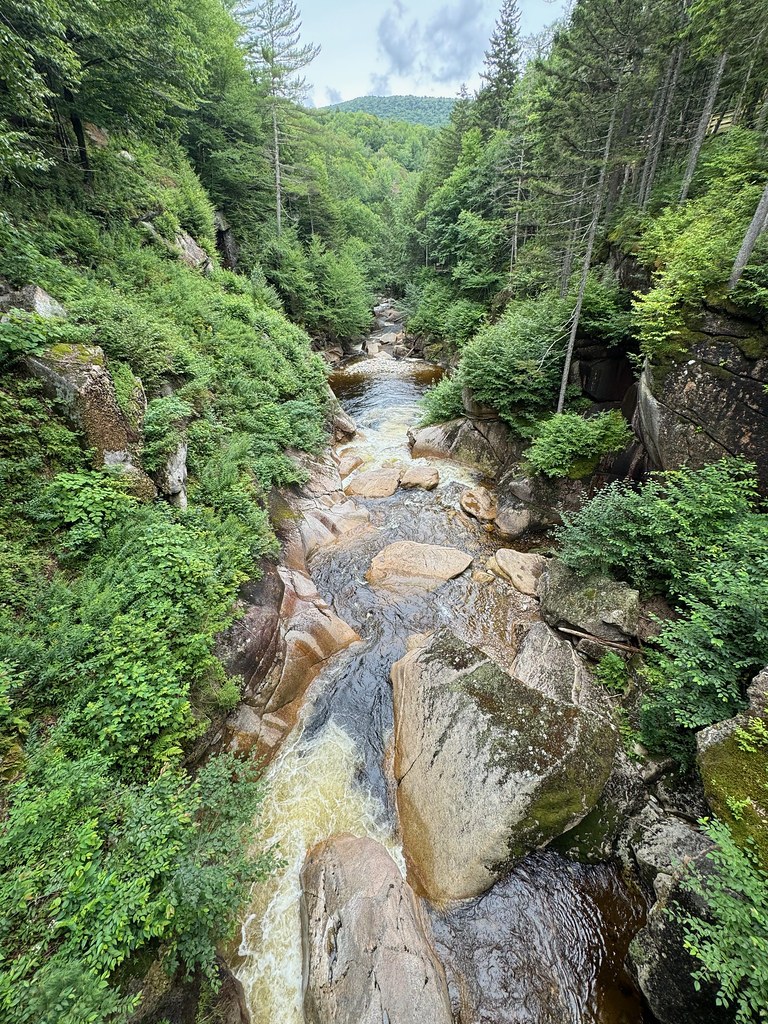 Pemi TrailHikingPhoto: daveynin, CC BY 2.0 (via Flickr)1.5 mi
 Metal WallsRock climbingPhoto: Percival Kestreltail, CC BY-SA 4.0 (via Wikimedia Commons)1.6 miJoker CragRock climbingPhoto: Percival Kestreltail, CC BY-SA 4.0 (via Wikimedia Commons)1.6 mi
 Pemigewasset RiverCanoeingPhoto: Public domain (via Wikimedia Commons)2.8 mi
Source: Roamze catalog (indexable pages within 10 miles, PostGIS distance)
Basin CascadesHiking · ~2 min drivePhoto: matt.a, CC BY 3.0 (via Wikimedia Commons)Hi-Cannon TrailHiking · ~2 min drivePhoto: matt.a, CC BY 3.0 (via Wikimedia Commons) Falling WatersHiking · ~3 min drivePhoto: Jeff Egnaczyk from Brookline, MA, CC BY 2.0 (via Wikimedia Commons)
 Kinsman Ridge TrailHiking · ~3 min drivePhoto: matt.a, CC BY 3.0 (via Wikimedia Commons)Pemi TrailHiking · ~3 min drivePhoto: daveynin, CC BY 2.0 (via Flickr)Lonesome Lake TrailHiking · ~3 min drivePhoto: matt.a, CC BY 3.0 (via Wikimedia Commons)Kinsman RidgeHiking · ~3 min drivePhoto: matt.a, CC BY 3.0 (via Wikimedia Commons)Pemi TrailHiking · ~4 min drivePhoto: Jeff Egnaczyk from Brookline, MA, CC BY 2.0 (via Wikimedia Commons)
 Franconia Ridge TrailHiking · ~7 min drivePhoto: matt.a, CC BY 3.0 (via Wikimedia Commons)Old Bridle PathHiking · ~3 min drivePhoto: Jeff Egnaczyk from Brookline, MA, CC BY 2.0 (via Wikimedia Commons)
