Kinsman Pond
Campground
Campground · 1.1 mi from the trail
Closure in the area
There's a closure order in White Mountain National Forest. It doesn't name Appalachian Trail, so check the source for the area it covers (3 listed).
Wild River Fire - Androscoggin Ranger District
Agency closure covering White Mountain National Forest · USFS · White Mountain National Forest
List of trail closures post-Hurricane Helene
Park closure covering Appalachian National Scenic Trail · NPS · Appalachian National Scenic Trail
Rattlesnake Fire – Pemigewasset Ranger District
Agency closure covering White Mountain National Forest · USFS · White Mountain National Forest
Black Bears Frequenting the McAfee Knob Area in Virginia
Park alert covering Appalachian National Scenic Trail · NPS · Appalachian National Scenic Trail
Town Hall Road Camping and Fire Restrictions
Agency alert covering White Mountain National Forest · USFS · White Mountain National Forest
As of · Source: USFS · White Mountain National Forest. Agencies don't list every closure — check before you go.
This is a 5.4-mile out-and-back section of the Appalachian National Scenic Trail in New Hampshire's White Mountain National Forest, within the Pemigewasset Ranger District. The route starts at 4,282 feet and climbs to a high point of 4,282 feet, which makes it a loop in elevation rather than a climb up and down. The total gain and loss are each about 2,471 feet, and the steepest stretch comes at about 0.8 miles in, with a grade of 42 percent. The trail is managed by the Forest Service and rated moderate. Plan for about three hours on foot. Kinsman Pond campground sits about a mile away, and the Kinsman Ridge Trail is about 1.2 miles off. The Mount Pemigewasset Trail and the Indian Head Cliff on Mt. Pemigewasset climbing area are both within about 3 miles.
Kinsman Pond
Campground
 If it rainsKen Gallager, CC BY-SA 4.0 · Wikimedia Commons
Places © OpenStreetMap contributors, Places © Overture Maps Foundation · Photos: Ken Gallager, CC BY-SA 4.0 (commons)
More in Bradford Kinsman Ridge TrailHikingPhoto: matt.a, CC BY 3.0 (via Wikimedia Commons)1.2 mi
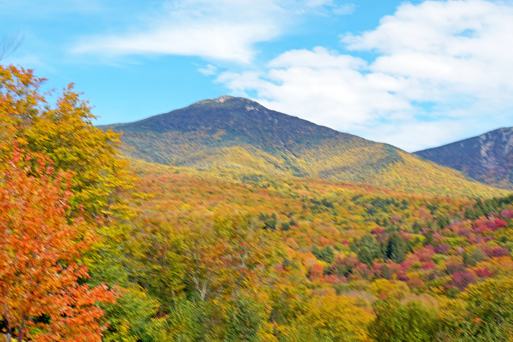 Mount Pemigewasset TrailHikingPhoto: dgjarvis10@gmail.com, CC BY-SA 2.0 (via Flickr)2.5 mi
 Pemigewasset RiverCanoeingPhoto: Public domain (via Wikimedia Commons)3.6 mi
Source: Roamze catalog (indexable pages within 10 miles, PostGIS distance)
Kinsman Ridge TrailHiking · ~2 min drivePhoto: matt.a, CC BY 3.0 (via Wikimedia Commons) Kinsman PondHiking · ~3 min drivePhoto: matt.a, CC BY 3.0 (via Wikimedia Commons)
 Basin CascadesHiking · ~4 min drivePhoto: matt.a, CC BY 3.0 (via Wikimedia Commons)Lonesome Lake TrailHiking · ~4 min drivePhoto: matt.a, CC BY 3.0 (via Wikimedia Commons)Mount Pemigewasset TrailHiking · ~4 min drivePhoto: dgjarvis10@gmail.com, CC BY-SA 2.0 (via Flickr)
 Twenty TwentyHiking · ~5 min drivePhoto: matt.a, CC BY 3.0 (via Wikimedia Commons)Hi-Cannon TrailHiking · ~5 min drivePhoto: matt.a, CC BY 3.0 (via Wikimedia Commons)Kinsman RidgeHiking · ~4 min drivePhoto: matt.a, CC BY 3.0 (via Wikimedia Commons)
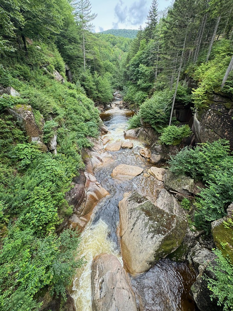 Pemi TrailHiking · ~5 min drivePhoto: daveynin, CC BY 2.0 (via Flickr)
Map and trail data © OpenStreetMap contributors
