Mt. Liberty, Franconia Notch
- 6 routes
- 5.5 – 5.9+
- Alpine
Is Mt. Liberty, Franconia Notch open right now?
Closure in the area
There's a closure order in White Mountain National Forest. It doesn't name Mt. Liberty, Franconia Notch, so check the source for the area it covers (2 listed).
Wild River Fire - Androscoggin Ranger District
Agency closure covering White Mountain National Forest · USFS · White Mountain National Forest
Rattlesnake Fire – Pemigewasset Ranger District
Agency closure covering White Mountain National Forest · USFS · White Mountain National Forest
Town Hall Road Camping and Fire Restrictions
Agency alert covering White Mountain National Forest · USFS · White Mountain National Forest
Lincoln Woods Trail Closure
Agency alert covering White Mountain National Forest · USFS · White Mountain National Forest
Forest Roads Status
Agency alert covering White Mountain National Forest · USFS · White Mountain National Forest
As of · Source: USFS · White Mountain National Forest. Agencies don't list every closure — check before you go.
Mt. Liberty is a climbing area in Franconia Notch, New Hampshire, within the Pemigewasset Ranger District of the White Mountain National Forest. The Forest Service manages the land, and the area sits among a cluster of trails and campsites, with Liberty Springs campground just 0.3 miles away. The climbing here is alpine in style, and the six routes listed all fall within the 5.5 to 5.9+ range on the YDS scale. Ramp is the easiest at 5.5, and The Deceiving Off Width is the hardest at 5.9+. All were recorded in the 1980s by Bradley White and Paul. The Franconia Ridge Trail and the Osseo hike both start about 0.9 miles away, and the Pemigewasset River offers canoeing roughly 2.5 miles off. Metal Walls, another climbing area, is about 2.8 miles away.
- Liberty SpringsCamping0.3 mi
 Franconia Ridge TrailHikingPhoto: matt.a, CC BY 3.0 (via Wikimedia Commons)0.9 mi
- OsseoHikingPhoto: matt.a, CC BY 3.0 (via Wikimedia Commons)0.9 mi
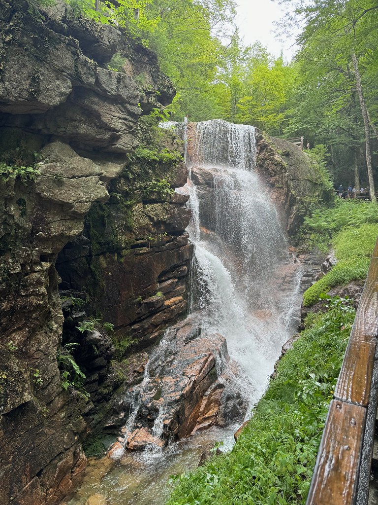 Flume SlideHikingPhoto: daveynin, CC BY 2.0 (via Flickr)1.3 mi
 Pemigewasset RiverCanoeingPhoto: Public domain (via Wikimedia Commons)2.5 mi
 Metal WallsRock climbingPhoto: Percival Kestreltail, CC BY-SA 4.0 (via Wikimedia Commons)2.8 mi
- Joker CragRock climbingPhoto: Percival Kestreltail, CC BY-SA 4.0 (via Wikimedia Commons)2.8 mi
- Franconia Brook CampsitesCamping3.7 mi
Source: Roamze catalog (indexable pages within 10 miles, PostGIS distance)
- Metal WallsRock climbing · ~5 min drivePhoto: Percival Kestreltail, CC BY-SA 4.0 (via Wikimedia Commons)
- Joker CragRock climbing · ~5 min drivePhoto: Percival Kestreltail, CC BY-SA 4.0 (via Wikimedia Commons)
- Indian Head Cliff on Mt. PemigewassetRock climbing · ~5 min drive
- Henderson's ButtressRock climbing · ~6 min drive
- Whitney-Gilman AreaRock climbing · ~6 min drive
- Duet Area etcRock climbing · ~6 min drive
- The TorcherRock climbing · ~6 min drive
- Moby Grape AreaRock climbing · ~6 min drive
- Big WallRock climbing · ~6 min drive
- SlabsRock climbing · ~6 min drive
Also worth it near here
- Liberty Spring TentsiteCamping · Next door
- Franconia Ridge TrailHiking · ~2 min drivePhoto: matt.a, CC BY 3.0 (via Wikimedia Commons)
 Owls HeadSummit · ~4 min drivePhoto: Ken Gallager at English Wikipedia, Public domain (via Wikimedia Commons)
- Pemigewasset RiverCanoeing · ~4 min drivePhoto: Public domain (via Wikimedia Commons)
