Nauman Tentsite
Campground
Campground · 0.6 mi from the trail
 Photo: Ktr101, CC BY-SA 2.0 (via Flickr)
Closure in the area
There's a closure order in White Mountain National Forest. It doesn't name Crawford Path, so check the source for the area it covers (3 listed).
Wild River Fire - Androscoggin Ranger District
Agency closure covering White Mountain National Forest · USFS · White Mountain National Forest
List of trail closures post-Hurricane Helene
Park closure covering Appalachian National Scenic Trail · NPS · Appalachian National Scenic Trail
Rattlesnake Fire – Pemigewasset Ranger District
Agency closure covering White Mountain National Forest · USFS · White Mountain National Forest
Black Bears Frequenting the McAfee Knob Area in Virginia
Park alert covering Appalachian National Scenic Trail · NPS · Appalachian National Scenic Trail
Town Hall Road Camping and Fire Restrictions
Agency alert covering White Mountain National Forest · USFS · White Mountain National Forest
As of · Source: USFS · White Mountain National Forest. Agencies don't list every closure — check before you go.
Crawford Path is a moderate hike of about 3.8 miles through the White Mountain National Forest in New Hampshire, crossing the Pemigewasset Ranger District and the Appalachian National Scenic Trail. The route climbs roughly 1,545 feet from its low point at about 1,884 feet to a high of 4,247 feet, and the climb is back-loaded, so the second half is the steeper stretch. The Forest Service manages the land, and the trip takes about two hours. For a longer outing, Nauman Tentsite sits about half a mile away and Hermit Lake Complex about 4.5 miles off, while the Mt Eisenhower Loop and Mizpah Cut-Off hikes both lie within a mile.
Nauman Tentsite
Campground
 If it rainsKen Gallager, CC BY-SA 4.0 · Wikimedia Commons
Places © OpenStreetMap contributors, Places © Overture Maps Foundation · Photos: Ken Gallager, CC BY-SA 4.0 (commons)
More in North ConwayDaily highs and lows, wind and the chance of precipitation at the summit and route start for the next 7 days, from the Open-Meteo model.
Dry RiverHikingPhoto: Ktr101, CC BY-SA 2.0 (via Flickr)0.8 mi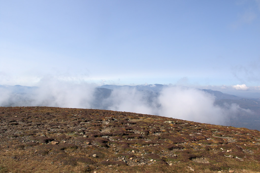 Mt Eisenhower LoopHikingPhoto: Ktr101, CC BY-SA 2.0 (via Flickr)1 mi
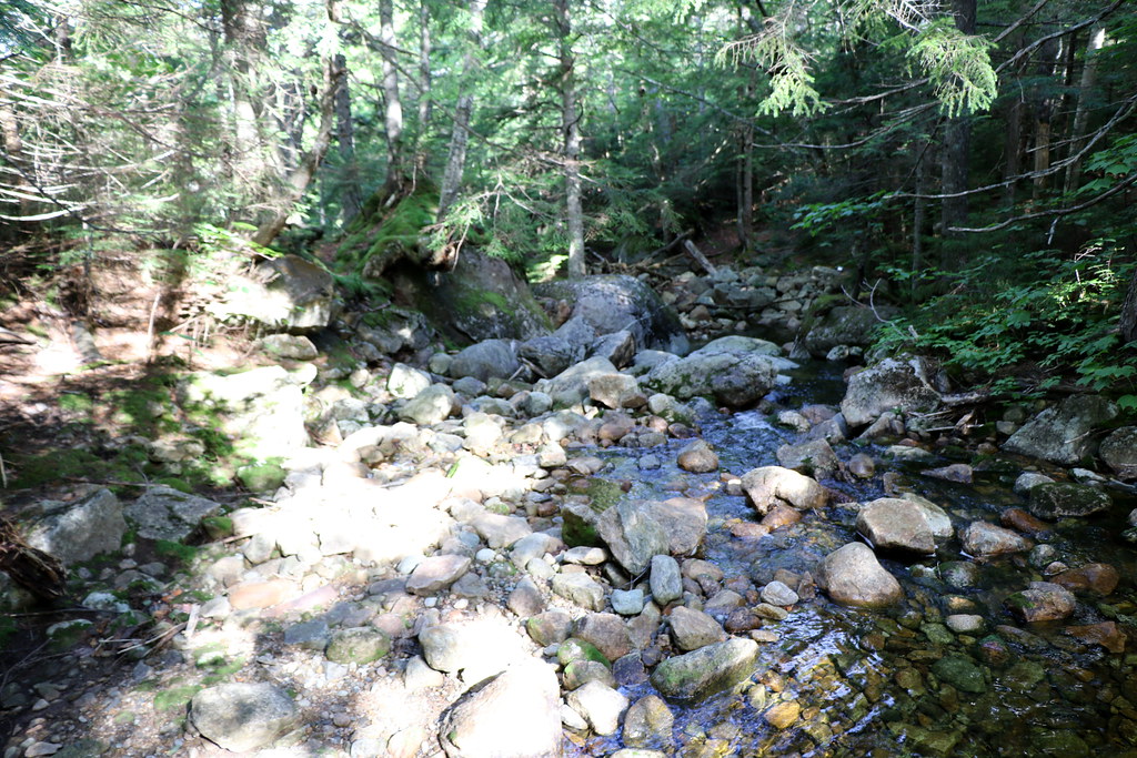 Mizpah Cut-OffHikingPhoto: Ktr101, CC BY-SA 2.0 (via Flickr)1 mi
 Omni Mount Washington Resort, Bretton WoodsLake fishing5.2 mi
Source: Roamze catalog (indexable pages within 10 miles, PostGIS distance)
Dry RiverHiking · ~1 min drivePhoto: Ktr101, CC BY-SA 2.0 (via Flickr) AvalonHiking · ~4 min drivePhoto: Ktr101, CC BY-SA 2.0 (via Flickr)
 Webster-Jackson TrailHiking · ~4 min drivePhoto: Ktr101, CC BY-SA 2.0 (via Flickr)CRAWFORD PATHHiking · Next doorPhoto: Ktr101, CC BY-SA 2.0 (via Flickr)Mt Eisenhower LoopHiking · ~2 min drivePhoto: Ktr101, CC BY-SA 2.0 (via Flickr)Webster Cliff TrailHiking · ~4 min drivePhoto: Ktr101, CC BY-SA 2.0 (via Flickr)
 A-ZHiking · ~6 min drivePhoto: Cliff from Arlington, Virginia, USA, CC BY 2.0 (via Wikimedia Commons)Mizpah Cut-OffHiking · ~2 min drivePhoto: Ktr101, CC BY-SA 2.0 (via Flickr)
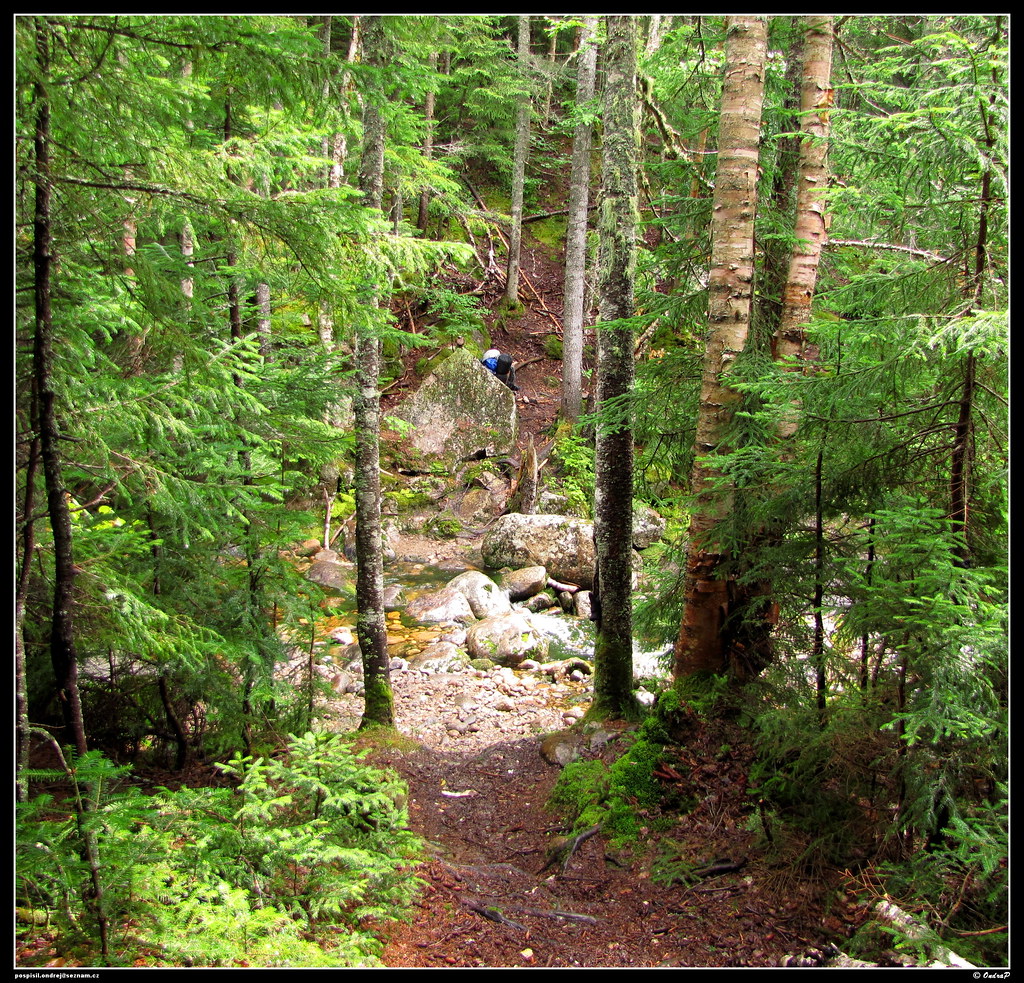 Mount Clinton TrailHiking · ~5 min drivePhoto: ondraposp, CC BY-SA 2.0 (via Flickr)
About 3.8 mi.
About 1,545 ft of climbing round trip.
It is rated moderate.
About 2 hours round trip.
2: Crawford Path and Sabbaday Brook Trail - New Hampshire.
Map and trail data © OpenStreetMap contributors

