Mt Eisenhower Loop
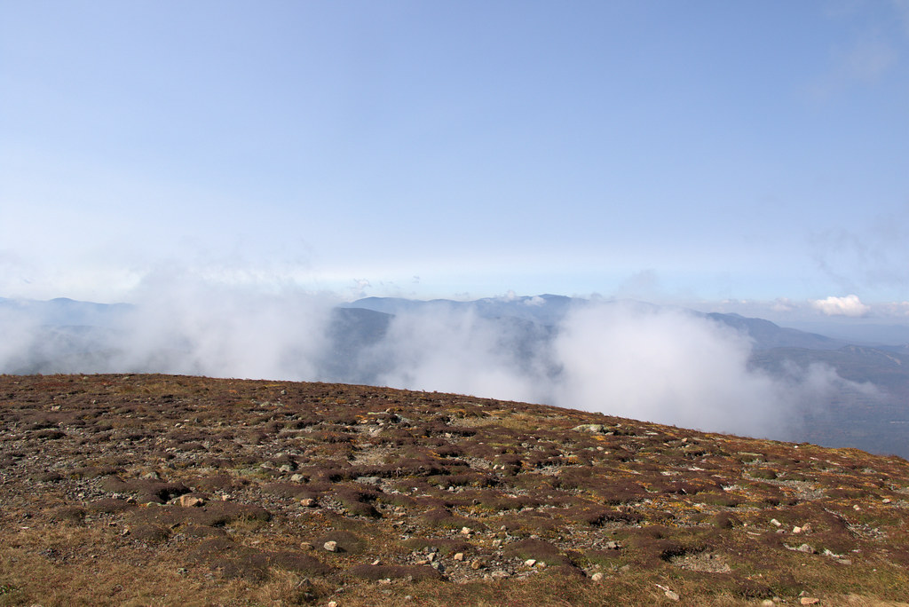 Photo: Ktr101, CC BY-SA 2.0 (via Flickr)
- 1.3 mi
- round trip
- 714 ft
- climb
- 4,759 ft
- high point
- Out and back
- route
Mt Eisenhower Loop is a short, easy out-and-back hike in the Pemigewasset Ranger District of White Mountain National Forest in New Hampshire, managed by the Forest Service. The trail crosses the Appalachian National Scenic Trail and sits about 3 miles from Mount Washington, which makes it an easy addition to a visit to that high peak. The loop is about 1.3 miles long, with a total elevation gain of 714 feet. The route starts near 4,424 feet and reaches a high point of 4,759 feet. The climb is rolling, and the steepest stretch comes within the first tenth of a mile, with a grade of about 30 percent. Summer is the most comfortable time to go. Typical July averages from a nearby weather station at Mount Washington run to a high of 55°F and a low of 44°F, though that station sits about 1,500 feet higher than the trail's start, so temperatures on the loop run warmer. The station also records no snow days in July and August. The trail is open year-round, and the trip takes about an hour. Bikes are allowed, and the surface is natural. Crawford Path lies about 0.8 miles away, and Nauman Tentsite is about 1.5 miles off. Hermit Lake Complex is about 3.6 miles away, and Omni Mount Washington Resort, Bretton Woods, offers lake fishing about 5.6 miles away.
Conditions and forecast on Mount Eisenhower
Daily highs and lows, wind and the chance of precipitation at the summit and route start for the next 7 days, from the Open-Meteo model.
 CRAWFORD PATHHikingPhoto: Ktr101, CC BY-SA 2.0 (via Flickr)0.8 mi
- Nauman TentsiteCamping1.5 mi
- Dry RiverHikingPhoto: Ktr101, CC BY-SA 2.0 (via Flickr)1.6 mi
- Gulley No.1 ButtressRock climbing3.2 mi
- Elephant's HeadRock climbing3.2 mi
- Hermit Lake ComplexCamping3.6 mi
 Omni Mount Washington Resort, Bretton WoodsLake fishing5.6 mi
 Israel RiverCanoeingPhoto: Ken Gallager at en.wikipedia, Public domain (via Wikimedia Commons)9.7 mi
Source: Roamze catalog (indexable pages within 10 miles, PostGIS distance)
Route details
- Distance
- 1.3 mi round trip
- Climbing
- About 714 ft
- Summit
- 4,759 ft
- Difficulty
- Easy
- Time
- About 0.5 hours
Season
Season: Year-round.
Questions about this route
How long is the Mt Eisenhower Loop on Mount Eisenhower?
About 1.3 mi round trip.
How much elevation gain is on the Mt Eisenhower Loop?
About 714 ft of climbing round trip.
How hard is the Mt Eisenhower Loop?
It is rated easy.
How long does the Mt Eisenhower Loop take?
About 0.5 hours round trip.
When is the best time for the Mt Eisenhower Loop?
Year-round.
