Naumann Tentsite
Campground
Campground · 0.6 mi from the trail
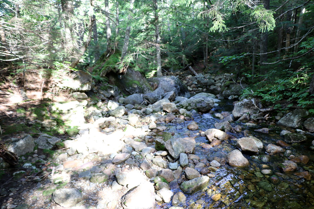 Photo: Ktr101, CC BY-SA 2.0 (via Flickr)
Closure in the area
There's a closure order in White Mountain National Forest. It doesn't name Mizpah Cut-Off, so check the source for the area it covers (2 listed).
Wild River Fire - Androscoggin Ranger District
Agency closure covering White Mountain National Forest · USFS · White Mountain National Forest
Rattlesnake Fire – Pemigewasset Ranger District
Agency closure covering White Mountain National Forest · USFS · White Mountain National Forest
Town Hall Road Camping and Fire Restrictions
Agency alert covering White Mountain National Forest · USFS · White Mountain National Forest
Lincoln Woods Trail Closure
Agency alert covering White Mountain National Forest · USFS · White Mountain National Forest
Forest Roads Status
Agency alert covering White Mountain National Forest · USFS · White Mountain National Forest
As of · Source: USFS · White Mountain National Forest. Agencies don't list every closure — check before you go.
Mizpah Cut-Off is a short, easy hike in the Pemigewasset Ranger District of White Mountain National Forest in New Hampshire, about 3.6 miles from the town of Marshfield Station. The trail is an out-and-back of about 1.4 miles, with a total climb of about 393 feet and a high point of 3,816 feet. The route is front-loaded, with the steepest stretch at the start, where the grade reaches about 19 percent. The trail is on natural surface and allows bikes, so it works for hikers and riders alike. The Forest Service manages the land. Nauman Tentsite is about 0.7 miles away, and the Dry River and Crawford Path hikes are each about a mile off. Climbers can find Elephant's Head about 1.3 miles away.
Naumann Tentsite
Campground
 If it rainsKen Gallager, CC BY-SA 4.0 · Wikimedia Commons
Places © OpenStreetMap contributors, Places © Overture Maps Foundation · Photos: Ken Gallager, CC BY-SA 4.0 (commons)
More in North Conway Dry RiverHikingPhoto: Ktr101, CC BY-SA 2.0 (via Flickr)1 miCrawford PathHikingPhoto: Ktr101, CC BY-SA 2.0 (via Flickr)1 mi
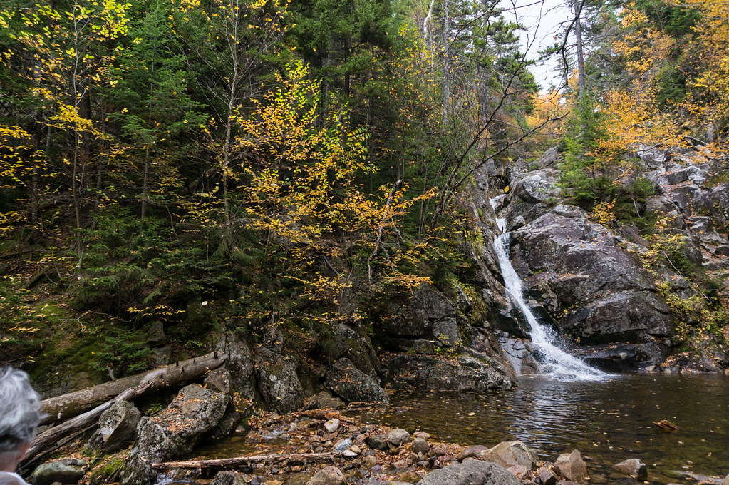 Crawford CliffHikingPhoto: alans1948, CC BY 2.0 (via Flickr)1.1 mi
 Omni Mount Washington Resort, Bretton WoodsLake fishing4.7 mi
Source: Roamze catalog (indexable pages within 10 miles, PostGIS distance)
Dry RiverHiking · ~2 min drivePhoto: Ktr101, CC BY-SA 2.0 (via Flickr)Crawford PathHiking · ~2 min drivePhoto: Ktr101, CC BY-SA 2.0 (via Flickr) Webster-Jackson TrailHiking · ~3 min drivePhoto: Ktr101, CC BY-SA 2.0 (via Flickr)
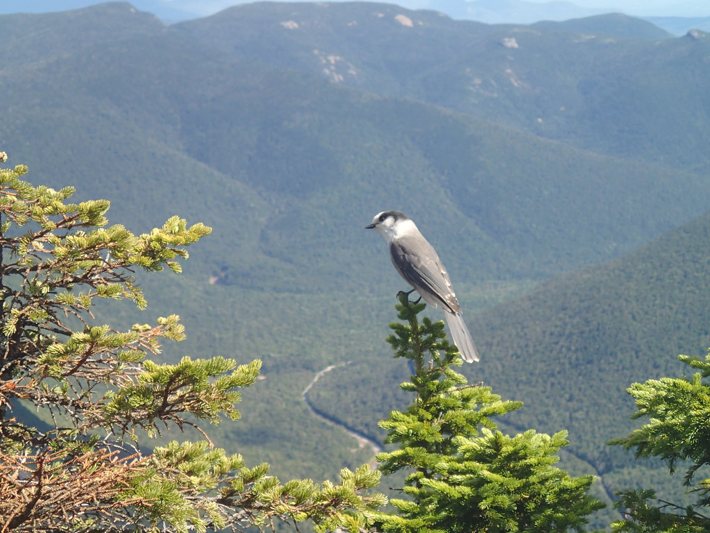 ETHAN POND TRAILHiking · ~6 min drivePhoto: Northfoot Adventures, CC BY 2.0 (via Flickr)Crawford CliffHiking · ~2 min drivePhoto: alans1948, CC BY 2.0 (via Flickr)
 AvalonHiking · ~3 min drivePhoto: Ktr101, CC BY-SA 2.0 (via Flickr)
 A-ZHiking · ~4 min drivePhoto: Cliff from Arlington, Virginia, USA, CC BY 2.0 (via Wikimedia Commons)CRAWFORD PATHHiking · ~2 min drivePhoto: Ktr101, CC BY-SA 2.0 (via Flickr)
 Saco Lake TrailHiking · ~2 min drivePhoto: rklopfer, CC BY-SA 2.0 (via Flickr)Webster Cliff TrailHiking · ~3 min drivePhoto: Ktr101, CC BY-SA 2.0 (via Flickr)

