Webster Cliff Trail
2.71-mile out-and-back hike to Webster Cliff in New Hampshire with 964 ft gain.
 Photo: Ktr101, CC BY-SA 2.0 (via Flickr)
- 2.7 mi
- round trip
- 1,487 ft
- climb
- 4,047 ft
- high point
- Out and back
- route
Is Webster Cliff Trail open right now?
Closure in the area
There's a closure order in Appalachian National Scenic Trail. It doesn't name Webster Cliff Trail, so check the source for the area it covers.
List of trail closures post-Hurricane Helene
Park closure covering Appalachian National Scenic Trail · NPS · Appalachian National Scenic Trail
Black Bears Frequenting the McAfee Knob Area in Virginia
Park alert covering Appalachian National Scenic Trail · NPS · Appalachian National Scenic Trail
As of · Source: NPS · Appalachian National Scenic Trail. Agencies don't list every closure — check before you go.
Webster Cliff Trail is a 2.7-mile moderate hike in New Hampshire, set within the Appalachian National Scenic Trail corridor. The trail is an out-and-back route that starts at about 3,824 feet and climbs to a high point of 4,047 feet, with a total round-trip gain of about 1,487 feet. The steepest stretch comes at about 1.1 miles in, where the grade reaches 20%. The trail is short enough to fit into a day of exploring the surrounding area. The Webster-Jackson Trail begins just 0.1 mile away, and the climbing areas of Webster Slabs and Main Slab sit within half a mile. For an overnight stay, Nauman Tentsite is about 1.9 miles off.
Keep exploring — more trails worth the drive
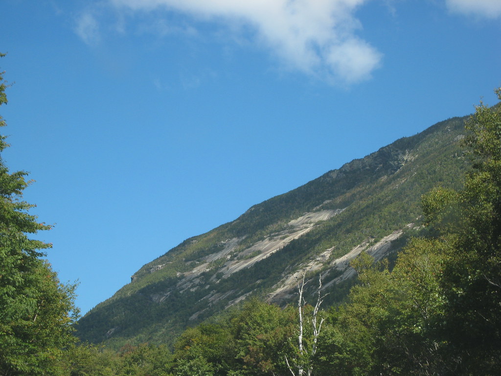 Photo: msprague, CC BY-SA 2.0 (via Flickr)
Sam Willey Trail
~2 min drive
Short point-to-point connector trail in Crawford Notch area.
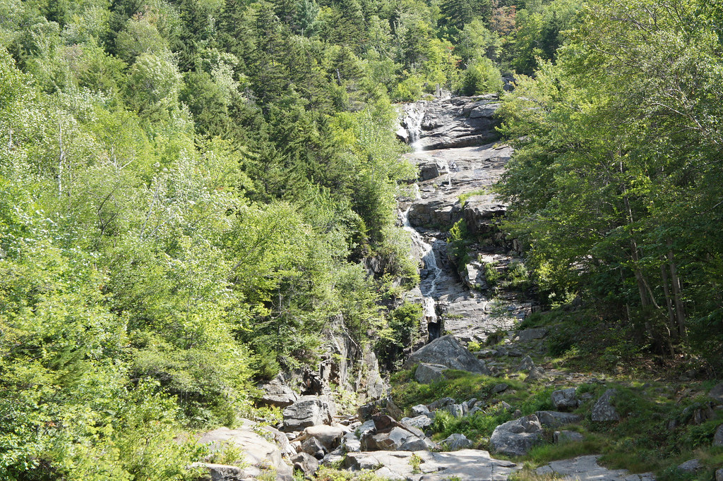 Photo: JimboRocks, CC BY-SA 2.0 (via Flickr)
Willey Range Trail
~3 min drive
2.96-mile point-to-point trail in New Hampshire with 2,673 ft gain
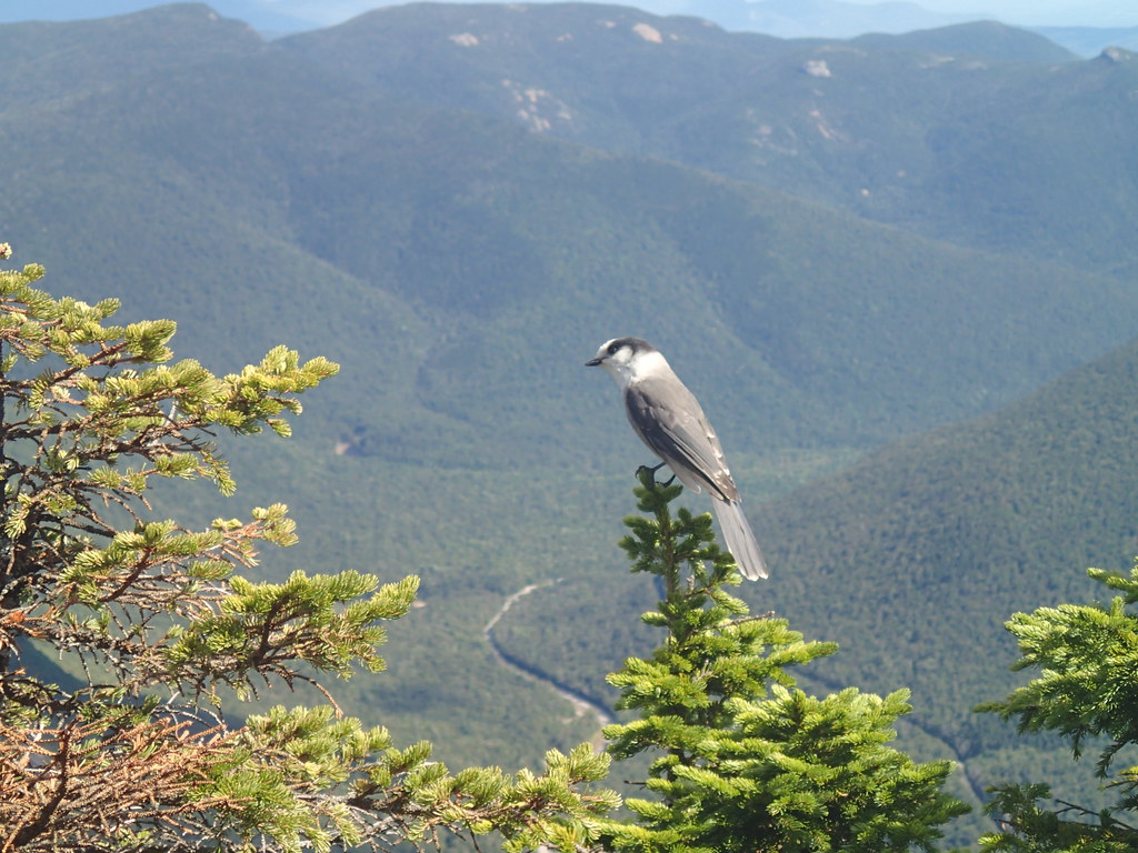 Photo: Northfoot Adventures, CC BY 2.0 (via Flickr)
ETHAN POND TRAIL
~3 min drive
19.12-mile out-and-back hike in New Hampshire with 2,535 ft elevation gain.
 Photo: Cliff from Arlington, Virginia, USA, CC BY 2.0 (via Wikimedia Commons)
A-Z
~4 min drive
6.79-mile out-and-back trail in New Hampshire with 1,219 ft gain.
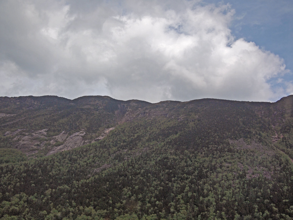 Photo: rickpilot_2000, CC BY 2.0 (via Flickr)
Saco River Trail
~3 min drive
Scenic riverside point-to-point hike along the Saco River in New Hampshire.
Photo: msprague, CC BY-SA 2.0 (via Flickr)Westside Trail
~3 min drive
2.0-mile out-and-back trail in New Hampshire with 969 ft elevation gain.
 Photo: Ktr101, CC BY-SA 2.0 (via Flickr)
CRAWFORD PATH
~5 min drive
14.74-mile out-and-back trail in New Hampshire with 5,591 ft gain/loss.
Isolation Trail
~7 min drive
3.60-mile out-and-back hike in New Hampshire with 34 ft gain and 1,153 ft loss.
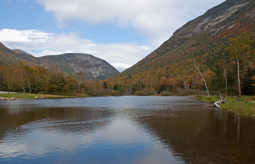 Photo: ahisgett, CC BY 2.0 (via Flickr)
Kedron Flume Trail
~3 min drive
Kedron Flume Trail is a 1.11-mile point-to-point trail in New Hampshire.
Photo: rickpilot_2000, CC BY 2.0 (via Flickr)Arethusa-Ripley Falls Trail
~3 min drive
2.37-mile point-to-point trail in New Hampshire with 1,765 ft gain


Route details
- Distance
- 2.7 mi round trip
- Climbing
- About 1,487 ft
- Summit
- 4,049 ft
- Difficulty
- Moderate
- Time
- About 1.5 hours
Other routes up Mount Jackson
Questions about this route
How long is the Webster Cliff Trail on Mount Jackson?
About 2.7 mi round trip.
How much elevation gain is on the Webster Cliff Trail?
About 1,487 ft of climbing round trip.
How hard is the Webster Cliff Trail?
It is rated moderate.
How long does the Webster Cliff Trail take?
About 1.5 hours round trip.
How many routes go up Mount Jackson?
2: Webster-Jackson Trail and Webster Cliff Trail.
Conditions and forecast on Mount Jackson
Daily highs and lows, wind and the chance of precipitation at the summit and route start for the next 7 days, from the Open-Meteo model.
