Cherry Mountain Trail
- 1.5 mi
- round trip
- 3,516 ft
- climb
- 3,372 ft
- high point
- Out and back
- route
- Sep
- best months
Is Cherry Mountain Trail open right now?
Closure in the area
There's a closure order in White Mountain National Forest. It doesn't name Cherry Mountain Trail, so check the source for the area it covers (2 listed).
Wild River Fire - Androscoggin Ranger District
Agency closure covering White Mountain National Forest · USFS · White Mountain National Forest
Rattlesnake Fire – Pemigewasset Ranger District
Agency closure covering White Mountain National Forest · USFS · White Mountain National Forest
Town Hall Road Camping and Fire Restrictions
Agency alert covering White Mountain National Forest · USFS · White Mountain National Forest
Lincoln Woods Trail Closure
Agency alert covering White Mountain National Forest · USFS · White Mountain National Forest
Forest Roads Status
Agency alert covering White Mountain National Forest · USFS · White Mountain National Forest
As of · Source: USFS · White Mountain National Forest. Agencies don't list every closure — check before you go.
Cherry Mountain Trail is a 3.1-mile out-and-back hike in the Pemigewasset Ranger District of New Hampshire's White Mountain National Forest. The Forest Service manages the surrounding land, and the route climbs from a low point of 1,652 feet to a high of 3,372 feet, with a total gain of 3,516 feet on the round trip. That makes it a hard hike, and the steepest stretch comes early, with a 41% grade around 0.16 miles from the start. Summer is the most comfortable time to go. July typically averages highs of 75°F and lows of 53°F at the Pinkham Notch weather station, about 13 miles away. That station sits roughly 1,300 feet lower than the high point, so temperatures up top run cooler. The trail is about 2.7 miles from Cherry Mountain Road Camping and 2.4 miles from the Twin Mountain / Mt. Washington KOA Holiday. Martha's Mile starts just 0.2 miles away, and Owls Head is about 1.6 miles off. For an overnight stay, the KOA and Cherry Mountain Road Camping are both within 3 miles. The Israel River, about 4.8 miles away, offers canoeing.
Conditions and forecast on Cherry Mountain
Daily highs and lows, wind and the chance of precipitation at the summit and route start for the next 7 days, from the Open-Meteo model.
- Martha's MileHiking0.2 mi
- Owls HeadHiking1.6 mi
- Twin Mountain / Mt. Washington KOA HolidayCamping2.4 mi
- Cherry Mountain Road CampingCamping2.7 mi
 Israel RiverCanoeingPhoto: Ken Gallager at en.wikipedia, Public domain (via Wikimedia Commons)4.8 mi
- Sugarloaf, North MtnRock climbing5.1 mi
 Omni Mount Washington Resort, Bretton WoodsLake fishing5.1 mi
- Middle Sugarloaf / Main FaceRock climbing5.4 mi
Source: Roamze catalog (indexable pages within 10 miles, PostGIS distance)
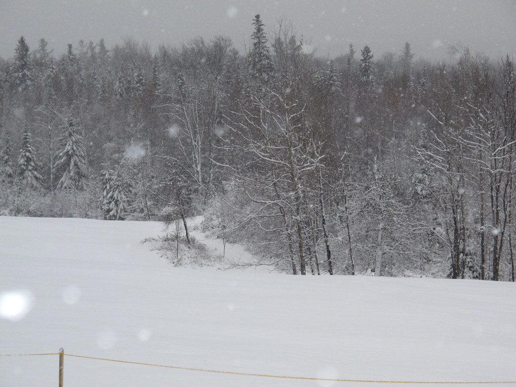
 Starr KingHiking · ~11 min drivePhoto: timsackton, CC BY-SA 2.0 (via Flickr)
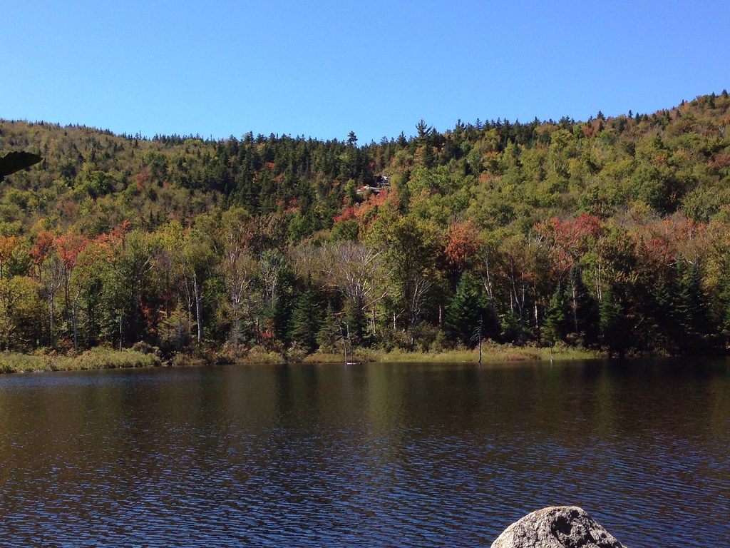
 Whitefield Heritage TrailHiking · ~11 min drivePhoto: BillDamon, CC BY 2.0 (via Flickr)
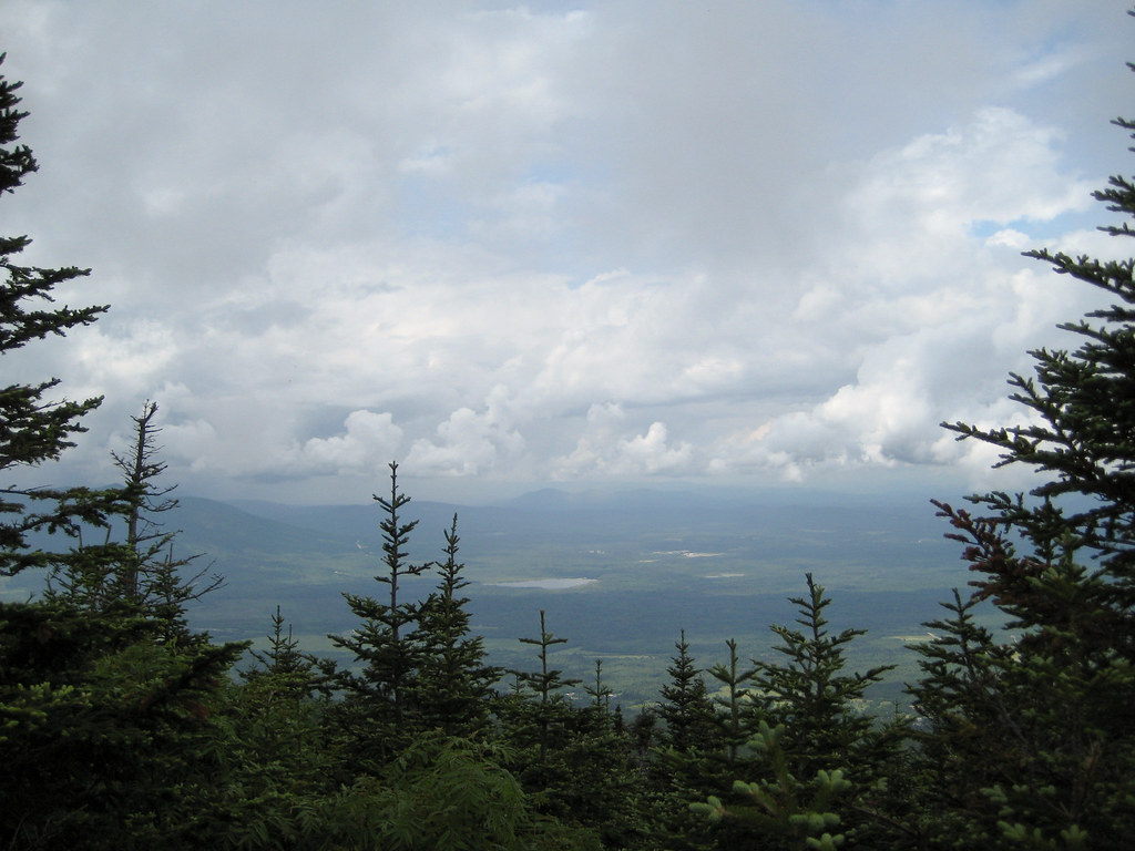
 ZealandHiking · ~12 min drivePhoto: alans1948, CC BY 2.0 (via Flickr)
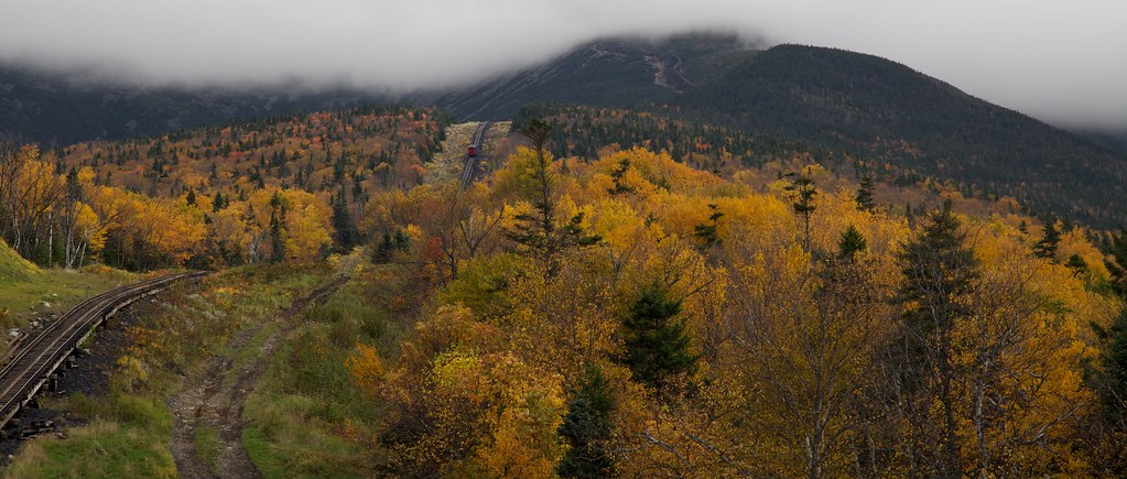
 Kilkenny RidgeHiking · ~13 min drivePhoto: timsackton, CC BY-SA 2.0 (via Flickr)
 Boundary LineHiking · ~13 min drivePhoto: string_bass_dave, CC BY-SA 2.0 (via Flickr)
 Caps RidgeHiking · ~13 min drivePhoto: Ktr101, CC BY-SA 2.0 (via Flickr)
- Black Brook TrailHiking · ~5 min drive
 Peter's PathHiking · ~13 min drivePhoto: Ktr101, CC BY-SA 2.0 (via Flickr)
- Martha's MileHiking · Next door
- Fire Warden's TrailHiking · ~13 min drive
Best time to visit Cherry Mountain Trail
Best months: September. Best months have typical highs of 55–85 °F, lows of 30 °F or warmer (32 °F where the station doesn't record snow), at most one snowy day and no more than 12 wet days.
Jan
26° / 6°
14 wet
Feb
28° / 7°
13 wet
Mar
36° / 15°
14 wet
Apr
49° / 27°
13 wet
May
62° / 39°
15 wet
Jun
70° / 48°
14 wet
Jul
75° / 53°
14 wet
Aug
74° / 52°
13 wet
Sep
68° / 45°
12 wet
Oct
54° / 35°
14 wet
Nov
42° / 24°
14 wet
Dec
31° / 14°
16 wet
Typical high / low (°F) and days with rain or snow, 1991–2020. Measured at Pinkham Notch, NH, 13.1 mi away at 2,025 ft. The station sits about 1,300 ft lower than this place, so expect it a little cooler here. This station doesn't record snowfall. Source: NOAA NCEI U.S. Climate Normals 1991–2020.
Route details
- Distance
- 1.5 mi round trip
- Climbing
- About 3,516 ft
- Summit
- 3,556 ft
- Difficulty
- Hard
- Time
- About 0.5 hours
Other routes up Cherry Mountain
Questions about this route
How long is the Cherry Mountain Trail on Cherry Mountain?
About 1.5 mi round trip.
How much elevation gain is on the Cherry Mountain Trail?
About 3,516 ft of climbing round trip.
How hard is the Cherry Mountain Trail?
It is rated hard.
How long does the Cherry Mountain Trail take?
About 0.5 hours round trip.
How many routes go up Cherry Mountain?
2: Martha's Mile and Cherry Mountain Trail.
Map and trail data © OpenStreetMap contributors
