Austin Brook Trail
- 1.4 mi
- round trip
- 1,994 ft
- climb
- 2,170 ft
- high point
- Out and back
- route
- May–Oct
- best months
Is Austin Brook Trail open right now?
Closure in the area
There's a closure order in White Mountain National Forest. It doesn't name Austin Brook Trail, so check the source for the area it covers (3 listed).
Wild River Fire - Androscoggin Ranger District
Agency closure covering White Mountain National Forest · USFS · White Mountain National Forest
List of trail closures post-Hurricane Helene
Park closure covering Appalachian National Scenic Trail · NPS · Appalachian National Scenic Trail
Rattlesnake Fire – Pemigewasset Ranger District
Agency closure covering White Mountain National Forest · USFS · White Mountain National Forest
Black Bears Frequenting the McAfee Knob Area in Virginia
Park alert covering Appalachian National Scenic Trail · NPS · Appalachian National Scenic Trail
Town Hall Road Camping and Fire Restrictions
Agency alert covering White Mountain National Forest · USFS · White Mountain National Forest
As of · Source: USFS · White Mountain National Forest. Agencies don't list every closure — check before you go.
Austin Brook Trail is a 1.4-mile moderate hike in New Hampshire's White Mountain National Forest, within the Androscoggin Ranger District and on land managed by the National Park Service. The trail is an out-and-back that climbs from about 1,190 feet to about 2,170 feet, with a total round-trip gain of nearly 2,000 feet. The steepest stretch comes early, around 0.3 miles in, with a 40% grade. Summer is the most comfortable time to go. Typical averages from a nearby weather station in Berlin, NH, run to highs around 78°F in July, while temperatures on the trail run cooler because the station sits roughly 1,250 feet lower. The Appalachian National Scenic Trail passes through the area, and the trail is close to several other destinations. Main Slab Area and North Bald Cap are climbing areas within about a mile, and Dryad Falls Trail is about 1.3 miles away. Rattle River Shelter, about 5.5 miles off, offers a place to camp.
- Main Slab AreaRock climbing0.8 mi
- North Bald CapRock climbing1.1 mi
- Lost Boys AreaRock climbing1.2 mi
- Dryad Falls TrailHiking1.3 mi
- Peabody Brook TrailHiking1.3 mi
 Middle Mountain TrailHikingPhoto: Magicpiano, CC BY-SA 3.0 (via Wikimedia Commons)2 mi
- Rattle River ShelterCamping5.5 mi
- Hastings CampgroundCamping8.2 mi
Source: Roamze catalog (indexable pages within 10 miles, PostGIS distance)
- Middle Mountain TrailHiking · ~3 min drivePhoto: Magicpiano, CC BY-SA 3.0 (via Wikimedia Commons)
 Austin BrookHiking · ~4 min drivePhoto: Magicpiano, CC BY-SA 3.0 (via Wikimedia Commons)
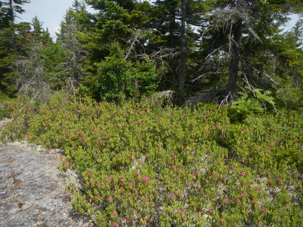 Thistle Hill Shelter - New HampshireHiking · ~8 min drivePhoto: John Hayes (gravelboy), CC BY 2.0 (via Flickr)
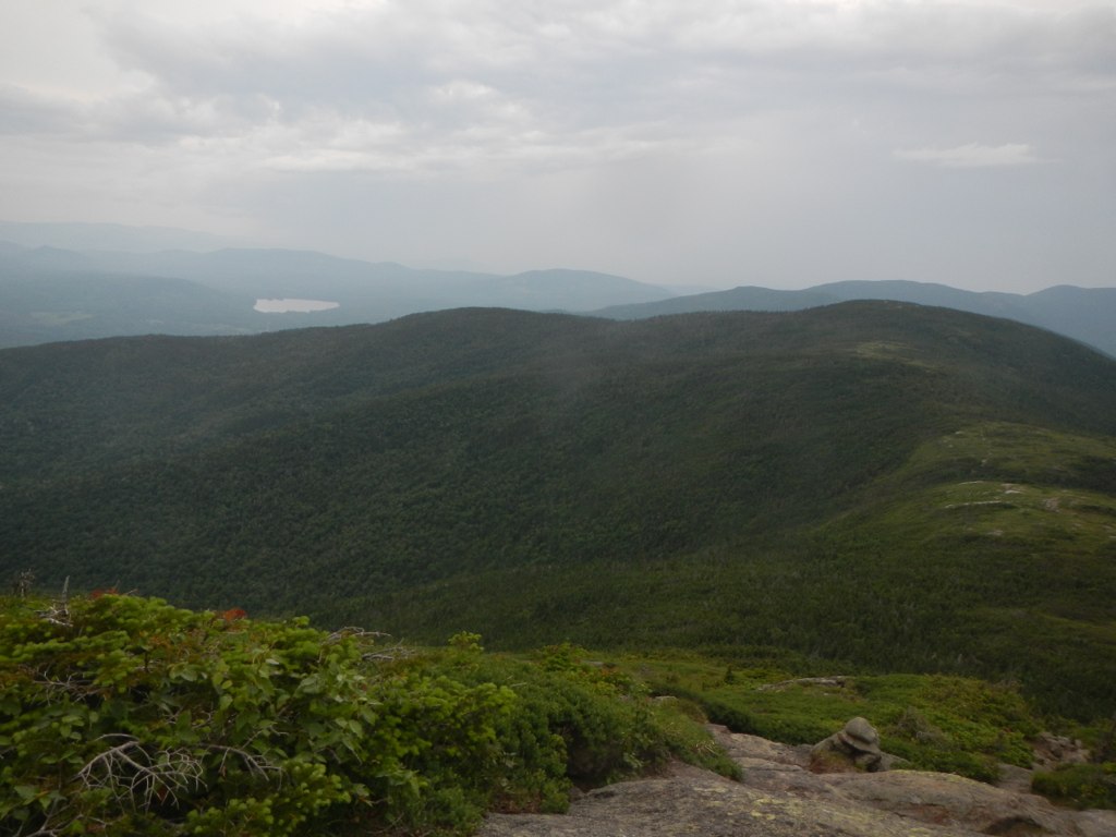 Wright TrailHiking · ~9 min drivePhoto: John Hayes (gravelboy), CC BY 2.0 (via Flickr)
- Yellow TrailHiking · ~4 min drivePhoto: Magicpiano, CC BY-SA 3.0 (via Wikimedia Commons)
- Gates Brook TrailHiking · ~5 min drivePhoto: Magicpiano, CC BY-SA 3.0 (via Wikimedia Commons)
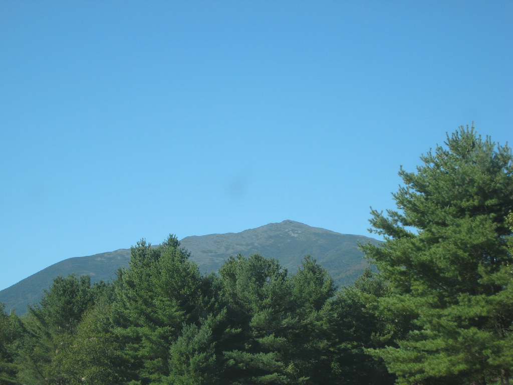 Stony BrookHiking · ~14 min drivePhoto: msprague, CC BY-SA 2.0 (via Flickr)
 Carlo ColHiking · ~6 min drivePhoto: John Hayes (gravelboy), CC BY 2.0 (via Flickr)
- Orange (Wiggin Rock) TrailHiking · ~6 min drivePhoto: Magicpiano, CC BY-SA 3.0 (via Wikimedia Commons)
- Carter-Moriah TrailHiking · ~12 min drive
Best time to visit Austin Brook Trail
Best months: May–October. Best months have typical highs of 55–85 °F, lows of 30 °F or warmer (32 °F where the station doesn't record snow), at most one snowy day and no more than 12 wet days.
Jan
27° / 5°
10 wet · 8 snow
Feb
30° / 6°
9 wet · 6 snow
Mar
38° / 16°
10 wet · 5 snow
Apr
52° / 29°
10 wet · 2 snow
May
65° / 41°
12 wet
Jun
74° / 50°
12 wet
Jul
78° / 55°
12 wet
Aug
77° / 52°
10 wet
Sep
70° / 45°
9 wet
Oct
57° / 35°
11 wet · 1 snow
Nov
44° / 26°
11 wet · 3 snow
Dec
32° / 14°
12 wet · 7 snow
Typical high / low (°F) and days with rain or snow, 1991–2020. Measured at Berlin, NH, 5.7 mi away at 920 ft. The station sits about 1,300 ft lower than this place, so expect it a little cooler here. Source: NOAA NCEI U.S. Climate Normals 1991–2020.


Map and trail data © OpenStreetMap contributors
