Spirit Mountain
 Photo: Stan Shebs, CC BY-SA 3.0 (via Wikimedia Commons)
- 5,625 ft
- summit
- National Park Service
- managed by
Is Spirit Mountain open right now?
Closure in the area
There's a closure order in Lake Mead National Recreation Area. It doesn't name Spirit Mountain, so check the source for the area it covers.
Government Wash Campground Anticipated Reopening
Park closure covering Lake Mead National Recreation Area · NPS · Lake Mead National Recreation Area
River Mountains Loop Trail Covered by Flood Debris in Multiple Areas
Park alert covering Lake Mead National Recreation Area · NPS · Lake Mead National Recreation Area
Harmful Algae Bloom
Park alert covering Lake Mead National Recreation Area · NPS · Lake Mead National Recreation Area
As of · Source: NPS · Lake Mead National Recreation Area. Agencies don't list every closure — check before you go.
Spirit Mountain is a summit of about 5,625 feet in Clark County, Nevada, within Lake Mead National Recreation Area and the Spirit Mountain Wilderness. The National Park Service manages the land, and the nearest town is Cal-Nev-Ari, about 9 miles away. Climbers will find Christmas Tree Pass Bouldering and Bleu Cheese Boulder about 1.7 miles away, and Dali Dome about 1.9 miles away. For a hike, Grapevine Canyon Trail lies about 4 miles off.
Conditions and forecast
Daily highs and lows, wind and the chance of precipitation at the summit for the next 7 days, from the Open-Meteo model.
- Summit elevation
- 5,625 ft
- Land manager
- National Park Service
Elevation from USGS 3D Elevation Program terrain data (about 10 m resolution).
We don't know of a mapped trail or route to the summit of Spirit Mountain. Plan the approach with local maps, a guidebook or a local guide, and check conditions before you go.
Questions about Spirit Mountain
How tall is Spirit Mountain?
5,625 ft (1,715 m).
Is there a trail to the top of Spirit Mountain?
We don't know of a mapped trail or route to the summit. Plan the approach with local maps, a guidebook or a local guide.
- Loaf Rock825 ft · Arizona1 route9.5 mi away
- Black Mountain5,092 ft · Nevada3 routes49 mi away
 Fortification Hill3,714 ft · Arizona1 route53 mi awayPhoto: unknown NPS photographer, Public domain (via Wikimedia Commons)
 Turtlehead Mountain6,322 ft · Nevada1 route75 mi awayPhoto: Stan Shebs, CC BY-SA 3.0 (via Wikimedia Commons)
- Beehive Rock2,531 ft · Nevada1 route79 mi away
- Elephant Rock1,928 ft · Nevada1 route81 mi away
 **Christmas Tree Pass Bouldering**Rock climbingPhoto: Zzyzx, CC BY 3.0 (via Wikimedia Commons)1.7 mi
- Bleu Cheese BoulderRock climbingPhoto: Zzyzx, CC BY 3.0 (via Wikimedia Commons)1.7 mi
 Christmas Tree PassRock climbingPhoto: Zzyzx, CC BY 3.0 (via Wikimedia Commons)1.9 mi
- Dali DomeRock climbingPhoto: Zzyzx, CC BY 3.0 (via Wikimedia Commons)1.9 mi
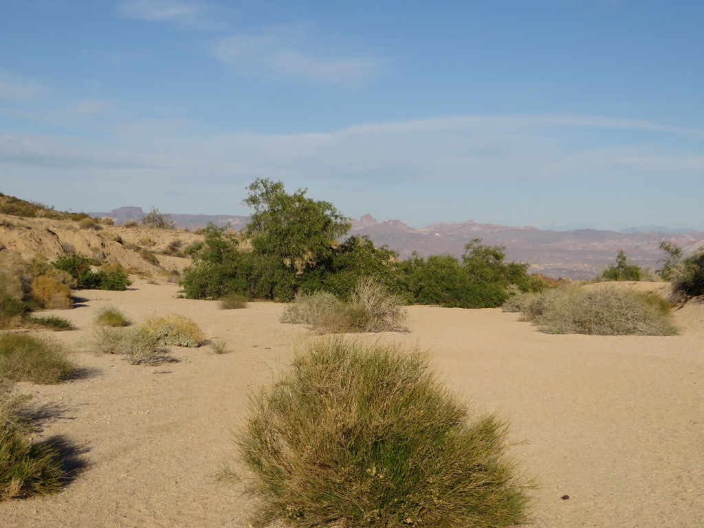 Grapevine Canyon TrailHikingPhoto: Ken Lund, CC BY-SA 2.0 (via Flickr)4.1 mi
- Lake ViewHiking9.6 mi
 Fisherman'sHikingPhoto: Ken Lund, CC BY-SA 2.0 (via Flickr)9.8 mi
 Desert TrailHikingPhoto: Zzyzx, CC BY 3.0 (via Wikimedia Commons)9.8 mi
Source: Roamze catalog (indexable pages within 10 miles, PostGIS distance)
 Mount ManchesterSummit · ~29 min drivePhoto: Stan Shebs, CC BY-SA 3.0 (via Wikimedia Commons)
 Boundary ConeSummit · ~45 min drivePhoto: Stan Shebs, CC BY-SA 3.0 (via Wikimedia Commons)
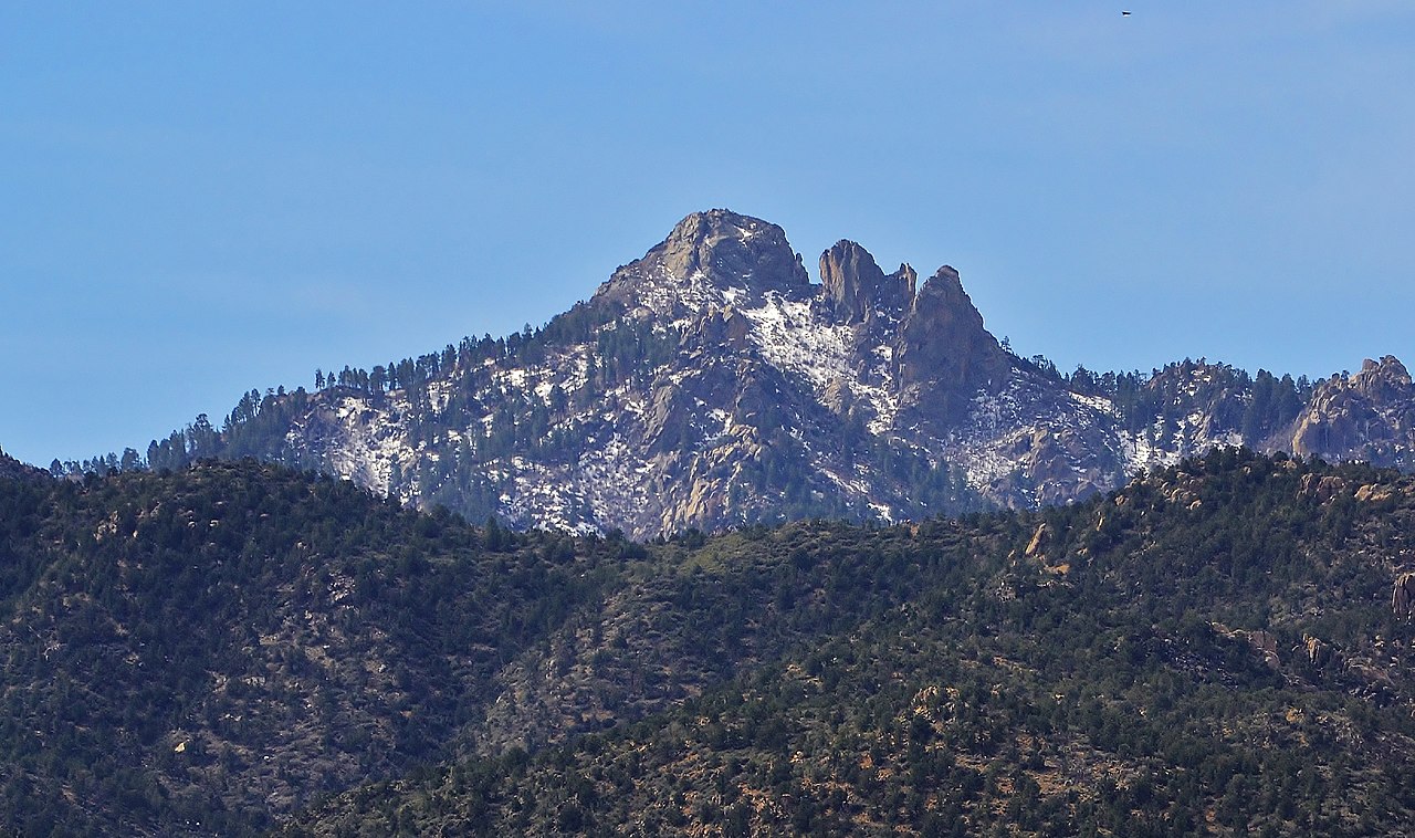 Hualapai PeakSummit · ~1h 23m drivePhoto: On^ste82, CC BY 3.0 (via Wikimedia Commons)
- Loaf RockSummit · ~16 min drive
- Black MountainSummit · ~1h 24m drive
Also worth it near here
