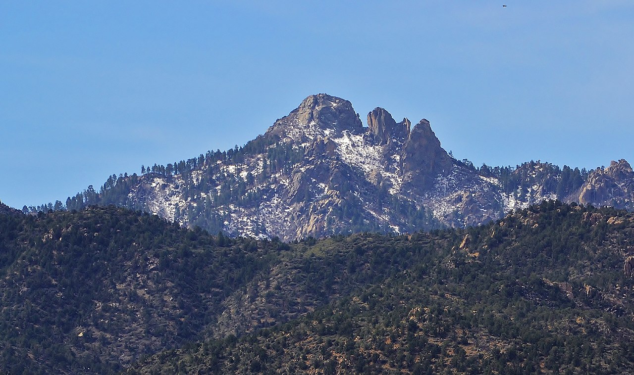
Boundary Cone
 Photo: Stan Shebs, CC BY-SA 3.0 (via Wikimedia Commons)
- 3,417 ft
- summit
- Bureau of Land Management
- managed by
- Oct–Apr
- best months
Boundary Cone is a summit of 3,417 feet in Arizona, on Bureau of Land Management land within the Kingman Field Office. The nearest town is Oatman, about 3.5 miles away. Spring and fall are the most comfortable times to visit. Typical averages from a nearby weather station show April highs around 79°F and October highs around 84°F, while July and August average in the low 100s. That station sits well below the summit, so temperatures up high run cooler. Sacramento Wash, a canoeing spot about 9 miles away, is the closest nearby place.
Conditions and forecast
Daily highs and lows, wind and the chance of precipitation at the summit for the next 7 days, from the Open-Meteo model.
- Summit elevation
- 3,417 ft
- Land manager
- Bureau of Land Management
Elevation from USGS 3D Elevation Program terrain data (about 10 m resolution).
We don't know of a mapped trail or route to the summit of Boundary Cone. Plan the approach with local maps, a guidebook or a local guide, and check conditions before you go.
Questions about Boundary Cone
How tall is Boundary Cone?
3,417 ft (1,042 m).
Is there a trail to the top of Boundary Cone?
We don't know of a mapped trail or route to the summit. Plan the approach with local maps, a guidebook or a local guide.
- Loaf Rock825 ft · Arizona1 route19 mi away
- Black Mountain5,092 ft · Nevada3 routes74 mi away
 Fortification Hill3,714 ft · Arizona1 route75 mi awayPhoto: unknown NPS photographer, Public domain (via Wikimedia Commons)
- Juniper Mesa7,071 ft · Arizona1 route85 mi away
- Hyde Creek Mountain7,268 ft · Arizona1 route86 mi away
- Mount Dellenbaugh7,064 ft · Arizona1 route92 mi away
Source: Roamze catalog (indexable pages within 10 miles, PostGIS distance)
 Mount ManchesterSummit · ~33 min drivePhoto: Stan Shebs, CC BY-SA 3.0 (via Wikimedia Commons)
 Spirit MountainSummit · ~45 min drivePhoto: Stan Shebs, CC BY-SA 3.0 (via Wikimedia Commons)
 Hualapai PeakSummit · ~51 min drivePhoto: On^ste82, CC BY 3.0 (via Wikimedia Commons)
- Loaf RockSummit · ~32 min drive
Best time to visit Boundary Cone
Best months: October–April. Best months have typical highs of 55–85 °F, lows of 30 °F or warmer (32 °F where the station doesn't record snow), at most one snowy day and no more than 12 wet days.
Jan
61° / 38°
3 wet
Feb
65° / 40°
4 wet
Mar
71° / 45°
3 wet
Apr
79° / 50°
2 wet
May
89° / 60°
1 wet
Jun
99° / 69°
1 wet
Jul
103° / 77°
2 wet
Aug
102° / 76°
3 wet
Sep
96° / 68°
2 wet
Oct
84° / 55°
2 wet
Nov
71° / 44°
2 wet
Dec
60° / 37°
3 wet
Typical high / low (°F) and days with rain or snow, 1991–2020. Measured at Yucca 1 Nne, AZ, 17.6 mi away at 1,950 ft. The station sits about 1,500 ft lower than this place, so expect it a little cooler here. Source: NOAA NCEI U.S. Climate Normals 1991–2020.
