Mount Oddie
 Photo: Ken Lund, CC BY-SA 2.0 (via Wikimedia Commons)
- 6,657 ft
- summit
- Apr–Jun, Sep–Oct
- best months
Mount Oddie is a summit in Nye County, Nevada, at about 6,657 feet.
- Summit elevation
- 6,657 ft
Elevation from USGS 3D Elevation Program terrain data (about 10 m resolution).
We don't know of a mapped trail or route to the summit of Mount Oddie. Plan the approach with local maps, a guidebook or a local guide, and check conditions before you go.
Questions about Mount Oddie
How tall is Mount Oddie?
6,657 ft (2,029 m).
Is there a trail to the top of Mount Oddie?
We don't know of a mapped trail or route to the summit. Plan the approach with local maps, a guidebook or a local guide.
- Middle Summit Mount Jefferson11,697 ft · Nevada1 route51 mi away
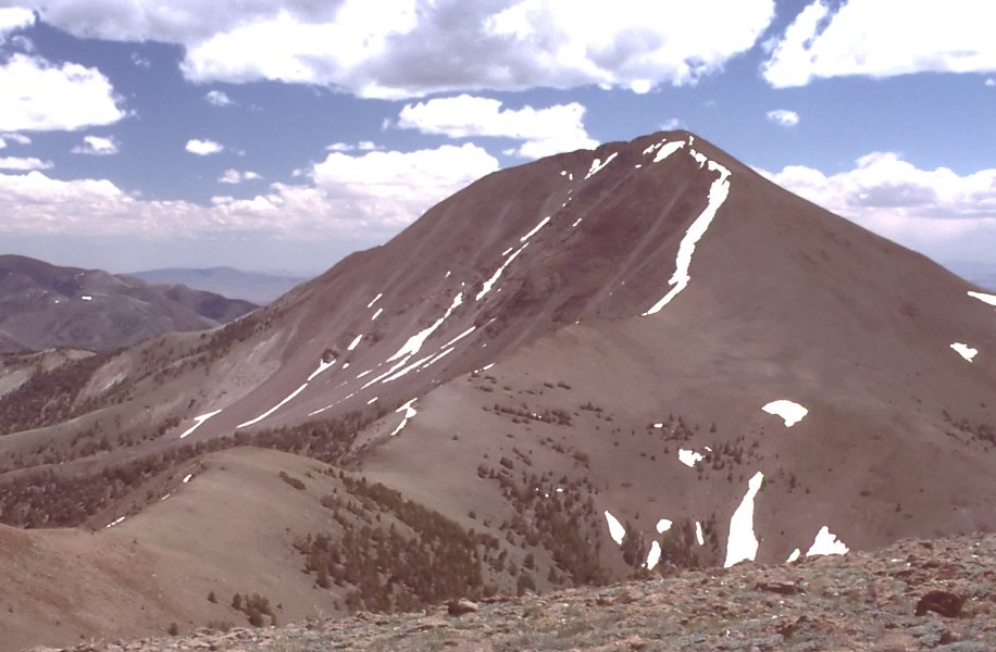 Arc Dome11,769 ft · Nevada1 route53 mi awayPhoto: User:G. Thomas, Public domain (via Wikimedia Commons)
- Table Mountain10,888 ft · Nevada1 route61 mi away
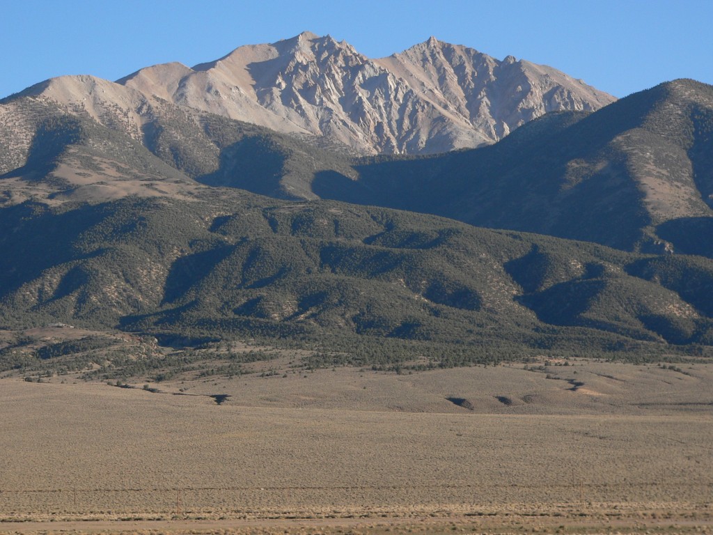 Boundary Peak13,132 ft · Nevada1 route64 mi awayPhoto: An63ca (talk · contribs), Public domain (via Wikimedia Commons)
 White Mountain Peak14,243 ft · California2 routes64 mi awayPhoto: JonathanLamb (talk · contribs), CC BY 3.0 (via Wikimedia Commons)
- Thimble Peak6,372 ft · California1 route87 mi away
Best time to visit Mount Oddie
Best months: April–June and September–October. Best months have typical highs of 55–85 °F, lows of 30 °F or warmer (32 °F where the station doesn't record snow), at most one snowy day and no more than 12 wet days.
Jan
41° / 23°
Feb
44° / 25°
Mar
52° / 30°
Apr
59° / 35°
May
69° / 44°
Jun
81° / 54°
Jul
88° / 61°
Aug
86° / 60°
Sep
79° / 51°
Oct
64° / 40°
Nov
50° / 30°
Dec
41° / 21°
Typical high / low (°F) and days with rain or snow, 1991–2020. Measured at Tonopah, NV, 0.8 mi away at 6,010 ft. The station sits about 600 ft lower than this place, so expect it a little cooler here. This station doesn't record snowfall. Source: NOAA NCEI U.S. Climate Normals 1991–2020.

Conditions and forecast
Daily highs and lows, wind and the chance of precipitation at the summit for the next 7 days, from the Open-Meteo model.
