Snake Overlook Loop Trail
- 0.7 mi
- round trip
- 424 ft
- climb
- 8,514 ft
- high point
- Out and back
- route
Is Snake Overlook Loop Trail open right now?
Closure in the area
There's a closure order in Great Basin National Park. It doesn't name Snake Overlook Loop Trail, so check the source for the area it covers (2 listed).
Prescribed Fire Area Closure - Baker Creek
Park closure covering Great Basin National Park · NPS · Great Basin National Park
Wheeler Peak Scenic Drive Winter Closure
Park closure covering Great Basin National Park · NPS · Great Basin National Park
As of · Source: NPS · Great Basin National Park. Agencies don't list every closure — check before you go.
Snake Overlook Loop Trail is a short, easy hike in Great Basin National Park in Nevada, managed by the National Park Service. The nearest town is Baker, about 9 miles away. The trail is an out-and-back of about 1.4 miles, with a total climb of about 424 feet. The steepest part comes early, around 0.12 miles from the start, where the grade reaches about 12%. The route starts at roughly 8,271 feet and reaches a high point of about 8,514 feet before returning to the starting elevation. There is no fee to hike this trail. It makes a convenient addition to a day spent exploring the park's network of trails. Dead Lake Trail lies just 0.1 mile away, and Snake Creek Trailhead and Johnson Lake Trail are each about 0.2 mile off. Snake Divide Trail is about 0.8 mile away.
- Dead Lake TrailHiking0.1 mi
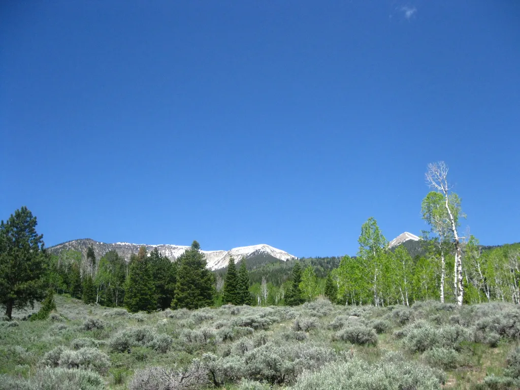 Snake Creek TrailheadHikingPhoto: NPS / public domain0.2 mi
- Johnson Lake TrailHiking0.2 mi
- Serviceberry TrailheadHiking0.5 mi
- Snake Divide TrailHiking0.8 mi
- Shoshone TrailHiking1.9 mi
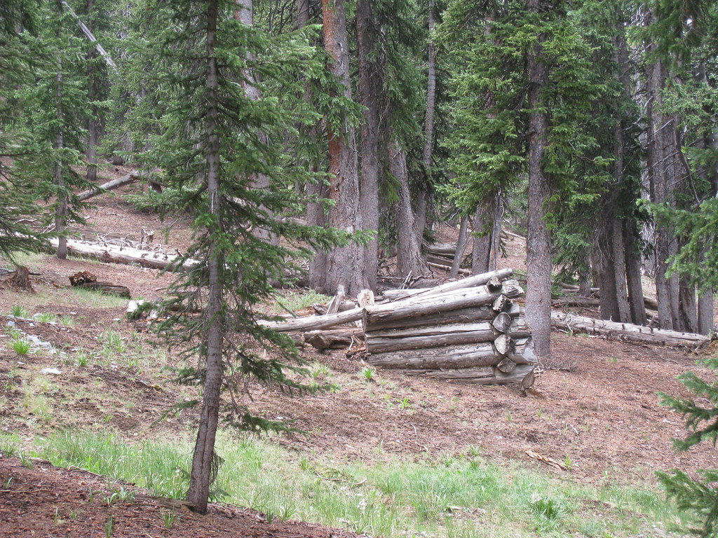 North Fork Big Wash TrailHikingPhoto: GSEC, CC BY 2.0 (via Flickr)2.4 mi
 Highland Ridge RouteHikingPhoto: cm195902, CC BY 2.0 (via Flickr)2.9 mi
Source: Roamze catalog (indexable pages within 10 miles, PostGIS distance)
- Snake Creek TrailheadHiking · Next door
- North Fork Big Wash TrailHiking · ~4 min drivePhoto: GSEC, CC BY 2.0 (via Flickr)
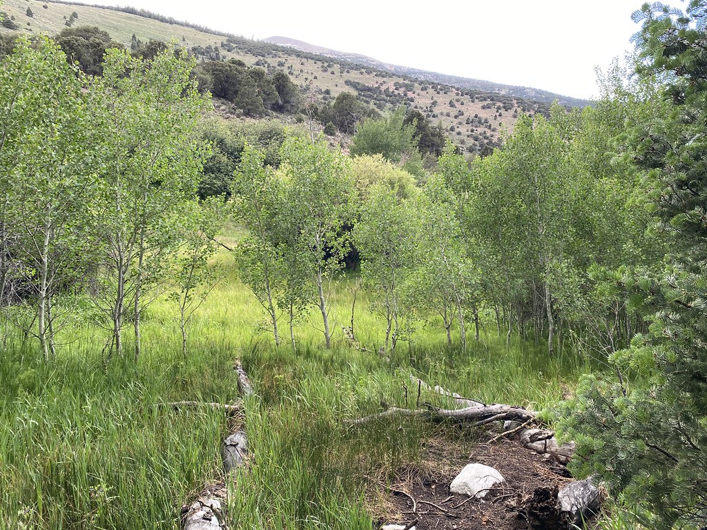 Pole Canyon TrailHiking · ~5 min drivePhoto: Ken Lund, CC BY-SA 2.0 (via Flickr)
- Timber Creek TrailHiking · ~6 min drivePhoto: Ken Lund, CC BY-SA 2.0 (via Flickr)
 Baker Creek Loop TrailHiking · ~5 min drivePhoto: Bas van Oorschot, CC BY-SA 3.0 (via Wikimedia Commons)
- Highland Ridge RouteHiking · ~5 min drivePhoto: cm195902, CC BY 2.0 (via Flickr)
- Baker Meadows TrailHiking · ~6 min drivePhoto: Ken Lund, CC BY-SA 2.0 (via Flickr)
- Snake Divide TrailHiking · ~1 min drive
- Lincoln Cirque TrailHiking · ~5 min drivePhoto: GSEC, CC BY 2.0 (via Flickr)
- Baker Creek TrailheadHiking · ~6 min drive

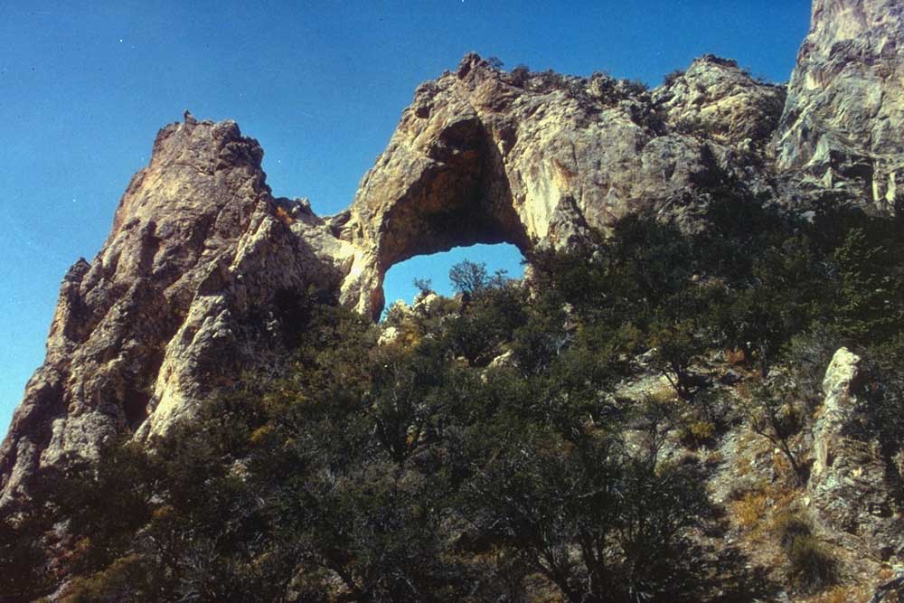
Map and trail data © OpenStreetMap contributors
