Red Needle Trail
- 1.8 mi
- distance
- 371 ft
- climb
- 1,894 ft
- high point
- Lollipop
- route
- Oct–Apr
- best months
Red Needle Trail is a short loop on Bureau of Land Management land in Nevada's Las Vegas Field Office, about 1.8 miles long with a 371-foot elevation gain from a low point of 1,649 feet to a high of 1,894 feet. It is an easy hike, and the trail is on natural surface. Bikes and horses are not allowed. Spring and fall are the most comfortable times to go. A nearby weather station in Las Vegas records typical averages of 73°F highs and 49°F lows in March, and 84°F highs and 57°F lows in October. Midsummer highs there typically reach the mid-100s, and winter brings only a few wet days a month. The trail makes an easy one-hour outing. Lava Butte Wall, a climbing area, is 1.7 miles away, and Las Vegas Wetlands is about 2.5 miles off. Lake Mead Area offers more climbing about 4.4 miles away, and Las Vegas Wash, a paddling route, is about 5 miles away.
Best time to go · Oct–Apr
Best time to visit Red Needle Trail
Best months: October–April. Best months have typical highs of 55–85 °F, lows of 30 °F or warmer (32 °F where the station doesn't record snow), at most one snowy day and no more than 12 wet days.
Jan
61° / 38°
3 wet
Feb
65° / 41°
3 wet
Mar
73° / 49°
2 wet
Apr
80° / 55°
1 wet
May
89° / 64°
1 wet
Jun
101° / 73°
1 wet
Jul
106° / 79°
1 wet
Aug
104° / 78°
2 wet
Sep
97° / 70°
1 wet
Oct
84° / 57°
1 wet
Nov
70° / 45°
1 wet
Dec
59° / 37°
2 wet
Typical high / low (°F) and days with rain or snow, 1991–2020. Measured at N Las Vegas, NV, 12 mi away at 1,898 ft. Source: NOAA NCEI U.S. Climate Normals 1991–2020.
Keep exploring — more trails worth the drive
 Photo: eschipul, CC BY-SA 2.0 (via Flickr)
Las Vegas Wetlands
~4 min drive
Easy wetlands loop with excellent birdwatching near Las Vegas.
 Photo: Capt' Gorgeous, CC BY 2.0 (via Flickr)
Historic Railroad Trail
~20 min drive
7.5-mile out-and-back trail with 645 ft gain in Nevada.
HIKE
River Mountains Loop
~19 min drive
34.18-mile loop in Nevada with 2,356 ft elevation gain.
 Photo: planeta, CC BY-SA 2.0 (via Flickr)
Wetlands Park - South Loop Trail
~6 min drive
0.72-mile out-and-back hike in Nevada with 25 ft of elevation gain.
HIKE
Panoramic View Trail
~15 min drive
0.87-mile out-and-back trail in Nevada with 97 ft gain and 1,194 ft loss.
 Photo: U.S. Department of the Interior, CC BY-SA 2.0 (via Wikimedia Commons)
Owl Canyon
~10 min drive
Short out-and-back canyon hike near Owl Canyon, Nevada.
HIKE
River Mountain Trail
~20 min drive
4.54-mile out-and-back hike in Nevada with 1,384 ft gain and 3,290 ft max elevation.
 Photo: Tydence, CC BY 2.0 (via Flickr)
1/3-Mile Trail
~18 min drive
0.72-mile out-and-back trail in Nevada with 10 ft elevation gain.
HIKE
Trail Mix
~20 min drive
4.0-mile out-and-back trail in Nevada with 1,071 ft gain and 3,186 ft max elevation.
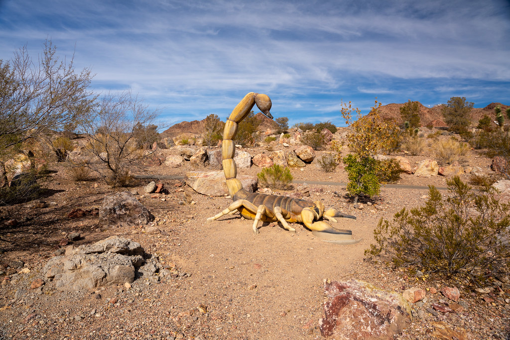 Photo: Joe K Gage, CC BY-SA 2.0 (via Flickr)
Middle Lake View
~19 min drive
1.62-mile out-and-back trail in Nevada with 334 ft elevation gain

