Trail Mix
- 2.0 mi
- round trip
- 1,071 ft
- climb
- 3,186 ft
- high point
- Out and back
- route
- Oct–Apr
- best months
Trail Mix is a moderate 4-mile out-and-back hike on Bureau of Land Management land in the Red Rock/Sloan Field Office of Nevada. The trail starts at about 3,000 feet and climbs to a high point of 3,186 feet, with the steepest section coming around the 0.6-mile mark at a 14% grade. The total round-trip gain is 1,071 feet, so plan on about two hours for the walk. Spring and fall are the most comfortable times to go. Typical averages from a nearby weather station run from highs around 80°F in April to about 82°F in October, while July highs average 106°F and winter lows sit in the upper 30s. Several other trails lie within a mile, including Sloan 500 and Nitro Tony's Trail North, and climbers can head to Rattlsnake Crag, about 2.4 miles away.
- Sloan 500Hiking0.8 mi
- Nitro Canyon Wash UpHiking0.9 mi
- Nitro Tony's Trail NorthHiking0.9 mi
- Nitro Valley TrailHiking1 mi
- Rattlsnake CragRock climbing2.4 mi
- Henderson CragsRock climbing3.1 mi
- The Ghetto BirdRock climbing7.9 mi
- Big SandyRock climbing7.9 mi
Source: Roamze catalog (indexable pages within 10 miles, PostGIS distance)
 Black Mountain (North Loop) 404Hiking · ~6 min drivePhoto: Joe K Gage, CC BY-SA 2.0 (via Flickr)
 Black Mountain (South Loop) 404Hiking · ~6 min drivePhoto: Joe K Gage, CC BY-SA 2.0 (via Flickr)
- Sloan 402Hiking · ~8 min drivePhoto: Joe K Gage, CC BY-SA 2.0 (via Flickr)
- Mccullough HillsHiking · ~6 min drive
- Fracture RidgeHiking · ~8 min drivePhoto: Joe K Gage, CC BY-SA 2.0 (via Flickr)
- River Mountains LoopHiking · ~10 min drive
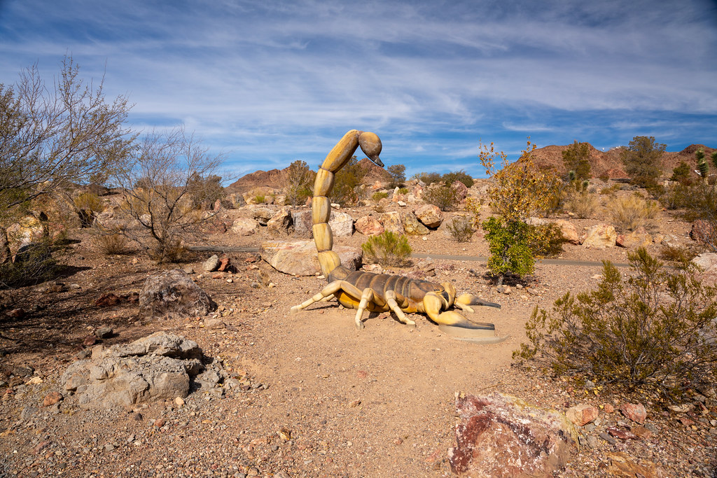 Lower Lake ViewHiking · ~13 min drivePhoto: Joe K Gage, CC BY-SA 2.0 (via Flickr)
- Black Mountain TrailHiking · ~8 min drive
- Sloan 500Hiking · ~1 min drive
- Petroglyph TrailHiking · ~13 min drive
Best time to visit Trail Mix
Best months: October–April. Best months have typical highs of 55–85 °F, lows of 30 °F or warmer (32 °F where the station doesn't record snow), at most one snowy day and no more than 12 wet days.
Jan
59° / 37°
3 wet
Feb
63° / 41°
4 wet
Mar
72° / 48°
3 wet
Apr
80° / 54°
2 wet
May
90° / 63°
1 wet
Jun
101° / 73°
1 wet
Jul
106° / 80°
3 wet
Aug
104° / 78°
3 wet
Sep
96° / 69°
2 wet
Oct
82° / 57°
2 wet
Nov
67° / 44°
2 wet
Dec
57° / 37°
3 wet
Typical high / low (°F) and days with rain or snow, 1991–2020. Measured at Las Vegas Wfo, NV, 11.8 mi away at 2,275 ft. The station sits about 900 ft lower than this place, so expect it a little cooler here. Source: NOAA NCEI U.S. Climate Normals 1991–2020.
Map and trail data © OpenStreetMap contributors
