Piermont Creek
- 6.9 mi
- round trip
- 2,041 ft
- climb
- 10,006 ft
- high point
- Out and back
- route
Caution at last check
Agency alerts are in effect for this area; weather is marginal · USFS, OpenWeather · checked 15 h ago
Is Piermont Creek open right now?
Closure in the area
There's a closure order in Ely Ranger District. It doesn't name Piermont Creek, so check the source for the area it covers (2 listed).
Ward Fire Closure (Ely Ranger District)
Agency closure covering Ely Ranger District · Order 04-17-26-09-02 · USFS · Ely Ranger District
Elephant Fire Closure
Agency closure covering Humboldt-Toiyabe National Forest · Order 04-17-26-01-04 · USFS · Humboldt-Toiyabe National Forest
Area, Road, and Trail Closures (Spring Mountains National Recreation Area)
Agency alert covering Humboldt-Toiyabe National Forest · Order 04-17-25-04 · USFS · Humboldt-Toiyabe National Forest
Year-Round Fire Restrictions (Spring Mountains National Recreation Area)
Agency alert covering Humboldt-Toiyabe National Forest · Order 04-17-24-01 · USFS · Humboldt-Toiyabe National Forest
Vehicle Snow Chain Requirements during Inclement Weather (Spring Mountains National Recreation Area)
Agency alert covering Humboldt-Toiyabe National Forest · Order 04-17-23-01 · USFS · Humboldt-Toiyabe National Forest
As of · Source: USFS · Ely Ranger District. Agencies don't list every closure — check before you go.
Piermont Creek is a hard hike in the Ely Ranger District of Nevada's Humboldt-Toiyabe National Forest, about 7 miles long with a one-way elevation gain of 2,041 feet. The trail is an out-and-back that starts at a low point of about 7,800 feet and climbs to a high point of about 10,000 feet. The Forest Service manages the land, and the route is on natural surface, with horses allowed. The trail is open from about June 15 to October 30, so plan for a late spring or early fall trip. Bird Creek Campground and Bird Creek Group Picnic Area sit about 1.4 miles away, and the North Fork Timber Creek Trail and North Schell Peak Summit Route are each about 2.5 miles off.
- Bird Creek Group Picnic AreaCamping1.4 mi
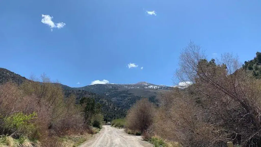 Bird Creek CampgroundCampingPhoto: Recreation.gov (RIDB) / public domain1.4 mi
 North Fork Timber Creek TrailHikingPhoto: cm195902, CC BY 2.0 (via Flickr)2.5 mi
- North Schell Peak Summit RouteHikingPhoto: cm195902, CC BY 2.0 (via Flickr)2.5 mi
- East Creek CampgroundCamping3.3 mi
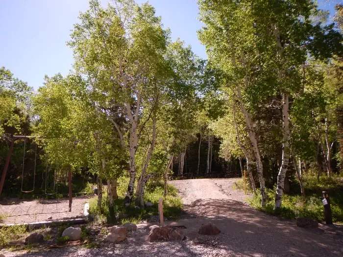 Timber Creek CampgroundCampingPhoto: Recreation.gov (RIDB) / public domain3.7 mi
- Bassett Creek TrailHiking3.8 mi
- South Fork Timber CreekHiking3.8 mi
Source: Roamze catalog (indexable pages within 10 miles, PostGIS distance)
- North Fork Timber Creek TrailHiking · ~4 min drivePhoto: cm195902, CC BY 2.0 (via Flickr)
- Bassett Creek TrailHiking · ~6 min drive
- NORTH CREEK SHORTCUTHiking · ~9 min drive
- North Schell Peak Summit RouteHiking · ~4 min drivePhoto: cm195902, CC BY 2.0 (via Flickr)
- South Fork Timber CreekHiking · ~6 min drive
- Rams Horns Canyon TrailHiking · ~10 min drive
- Piermont CreekHiking · ~2 min drive
- North Fork Timber CreekHiking · ~6 min drive
- Oil Springs TrailHiking · ~13 min drive
- RANGER TRAILHiking · ~6 min drive

