Rams Horns Canyon Trail
- 1.1 mi
- round trip
- 751 ft
- climb
- 6,624 ft
- high point
- Out and back
- route
- May–Jun, Sep
- best months
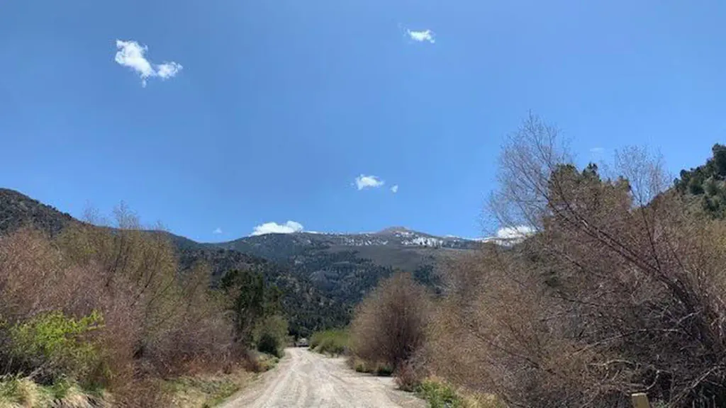
Rams Horns Canyon Trail is an easy out-and-back hike on Bureau of Land Management land in Nevada's Bristlecone Field Office, about 1 mile away from the BLM's Bristlecone Field Office. The trail runs roughly 2 miles from start to finish, with the high point at about 6,624 feet and the low point at about 6,080 feet. That makes the total gain around 750 feet, and the trail is rated easy. Late spring and early fall tend to be the most comfortable times to go. Typical averages from a nearby weather station show May highs around 68°F and October highs around 65°F, with lows in the 30s. July is the hottest month, with highs in the upper 80s. The hike takes about an hour to complete. Bassett Creek Trail lies about 4 miles away and Piermont Creek about 6 miles off. For an overnight stay, Kalamazoo Campground and East Creek Campground are both within about 6.5 miles.
- Bassett Creek TrailHiking4.3 mi
- Piermont CreekHiking5.7 mi
- Kalamazoo CampgroundCamping5.9 mi
- Faun TrailHiking6.1 mi
- East Creek CampgroundCamping6.4 mi
- Bird Creek Group Picnic AreaCamping6.5 mi
 Bird Creek CampgroundCampingPhoto: Recreation.gov (RIDB) / public domain6.6 mi
 North Fork Timber Creek TrailHikingPhoto: cm195902, CC BY 2.0 (via Flickr)6.8 mi
Source: Roamze catalog (indexable pages within 10 miles, PostGIS distance)
- North Fork Timber Creek TrailHiking · ~12 min drivePhoto: cm195902, CC BY 2.0 (via Flickr)
- Bassett Creek TrailHiking · ~7 min drive
- NORTH CREEK SHORTCUTHiking · ~14 min drive
- North Schell Peak Summit RouteHiking · ~12 min drivePhoto: cm195902, CC BY 2.0 (via Flickr)
- South Ice Cream Springs TrailHiking · ~12 min drive
- Oil Springs TrailHiking · ~17 min drive
- Faun TrailHiking · ~10 min drive
- Little Creek TrailHiking · ~13 min drive
- SOUTH TAFT CREEK TRAILHiking · ~19 min drive
- Piermont CreekHiking · ~12 min drive
Best time to visit Rams Horns Canyon Trail
Best months: May–June and September. Best months have typical highs of 55–85 °F, lows of 30 °F or warmer (32 °F where the station doesn't record snow), at most one snowy day and no more than 12 wet days.
Jan
41° / 15°
5 wet
Feb
44° / 18°
6 wet
Mar
53° / 24°
6 wet
Apr
59° / 30°
5 wet
May
68° / 38°
6 wet
Jun
80° / 46°
3 wet
Jul
88° / 54°
3 wet
Aug
87° / 53°
4 wet
Sep
78° / 43°
4 wet
Oct
65° / 31°
4 wet
Nov
51° / 22°
4 wet
Dec
41° / 14°
5 wet
Typical high / low (°F) and days with rain or snow, 1991–2020. Measured at Mcgill, NV, 13.9 mi away at 6,270 ft. This station doesn't record snowfall. Source: NOAA NCEI U.S. Climate Normals 1991–2020.

Map and trail data © OpenStreetMap contributors
