Oil Springs Trail
- 1.9 mi
- loop
- 514 ft
- climb
- 7,352 ft
- high point
- Loop
- route
- May–Jun, Sep
- best months
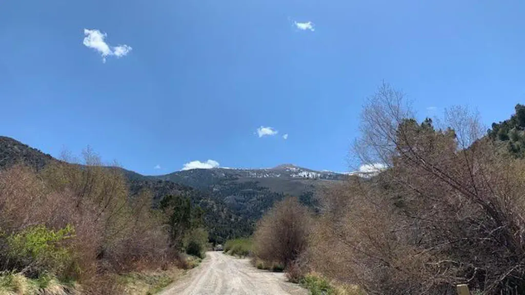
Oil Springs Trail is an easy hike of about 1.9 miles in northern Nevada, on Bureau of Land Management land within the Bristlecone Field Office. The route starts at roughly 6,890 feet and reaches a high point of about 7,352 feet, with a total climb of 514 feet along the way. The trail is short enough to fit into a single afternoon, and the climb is gentle by and large, though the steepest stretch comes around mile 1.4, where the grade reaches about 15%. For comfortable weather, late spring and early fall are the sweet spots. Typical averages from a nearby weather station in McGill, about 9 miles away, show May highs near 68°F and September highs near 78°F, while July averages around 88°F and winter highs hover near 41°F. That station sits about 1,000 feet lower than the trail's high point, so temperatures on the trail run cooler. Several other trails lie within a few miles, including North Creek Shortcut at about 2.1 miles and Little Creek Trail at about 2.5 miles. East Creek Campground, about 4.3 miles away, is the closest place to camp.
- NORTH CREEK SHORTCUTHiking2.1 mi
- Little Creek TrailHiking2.5 mi
- Ranger TrailHiking3 mi
- DITCH CREEK TRAILHiking3 mi
- East Creek CampgroundCamping4.3 mi
 Bird Creek CampgroundCampingPhoto: Recreation.gov (RIDB) / public domain6.1 mi
- Bird Creek Group Picnic AreaCamping6.1 mi
- Duck CreekCanoeing9.6 mi
Source: Roamze catalog (indexable pages within 10 miles, PostGIS distance)
 North Schell Peak Summit RouteHiking · ~17 min drivePhoto: cm195902, CC BY 2.0 (via Flickr)
- NORTH CREEK SHORTCUTHiking · ~4 min drive
- Little Creek TrailHiking · ~4 min drive
- Ranger TrailHiking · ~23 min drive
- North Fork Timber Creek TrailHiking · ~17 min drivePhoto: cm195902, CC BY 2.0 (via Flickr)
- DITCH CREEK TRAILHiking · ~5 min drive
- South Ice Cream Springs TrailHiking · ~10 min drive
- Ranger TrailHiking · ~5 min drive
- THIRD CREEK TRAILHiking · ~7 min drive
- Ranger TrailHiking · ~13 min drive
Best time to visit Oil Springs Trail
Best months: May–June and September. Best months have typical highs of 55–85 °F, lows of 30 °F or warmer (32 °F where the station doesn't record snow), at most one snowy day and no more than 12 wet days.
Jan
41° / 15°
5 wet
Feb
44° / 18°
6 wet
Mar
53° / 24°
6 wet
Apr
59° / 30°
5 wet
May
68° / 38°
6 wet
Jun
80° / 46°
3 wet
Jul
88° / 54°
3 wet
Aug
87° / 53°
4 wet
Sep
78° / 43°
4 wet
Oct
65° / 31°
4 wet
Nov
51° / 22°
4 wet
Dec
41° / 14°
5 wet
Typical high / low (°F) and days with rain or snow, 1991–2020. Measured at Mcgill, NV, 9 mi away at 6,270 ft. The station sits about 1,100 ft lower than this place, so expect it a little cooler here. This station doesn't record snowfall. Source: NOAA NCEI U.S. Climate Normals 1991–2020.
Map and trail data © OpenStreetMap contributors
