Mongoose Trail
- 2.7 mi
- round trip
- 1,406 ft
- climb
- 5,112 ft
- high point
- Out and back
- route
- Apr–May, Oct
- best months
Mongoose Trail is a moderate hike in eastern Nevada, on Bureau of Land Management land within the Caliente Field Office. The out-and-back route is about 5.3 miles long, with a total elevation gain of 1,406 feet and a high point of 5,112 feet. The climb begins steeply, with a 12% grade at about 0.4 miles in, and the trail returns to the starting elevation of around 4,600 feet. Spring and fall are the most comfortable times to go. At the Caliente weather station, about 4 miles away, typical averages run to highs near 69°F in April and 74°F in October, while July highs average around 97°F and winter lows drop to the low teens. The trip takes about 2.5 hours. The Barnes Canyon Trailhead - Primer lies about 0.1 mile away, and Barnes Canyon Trailhead - Board's Head and Barnes Canyon Trailhead - Wake Up Call are each about a mile off. Mountain bikers can find the Mongoose route about 0.4 mile from the trail.
Conditions and forecast on Tepee Rocks
Daily highs and lows, wind and the chance of precipitation at the summit and route start for the next 7 days, from the Open-Meteo model.
- Barnes Canyon Trailhead - PrimerHiking0.1 mi
- MongooseMountain biking0.4 mi
- Barnes Canyon Trailhead - Board's HeadHiking1 mi
- Barnes Canyon Trailhead - Wake Up CallHiking1 mi
- Barnes Canyon Trailhead - Rocky TopHiking1.7 mi
- Barnes Canyon Trailhead - Back 40Hiking1.8 mi
- Barnes Canyon Trailhead - ParallelHiking1.9 mi
- Back 40Mountain biking2 mi
Source: Roamze catalog (indexable pages within 10 miles, PostGIS distance)
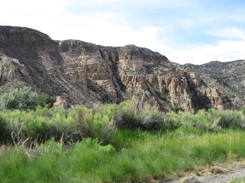 Canyon Overlook LoopHiking · ~7 min drivePhoto: Ken Lund, CC BY-SA 2.0 (via Flickr)
 Eagle Point TrailHiking · ~26 min drivePhoto: snowpeak, CC BY 2.0 (via Flickr)
- Silver State TrailHiking · ~17 min drive
- Ella Mountain TrailHiking · ~5 min drive
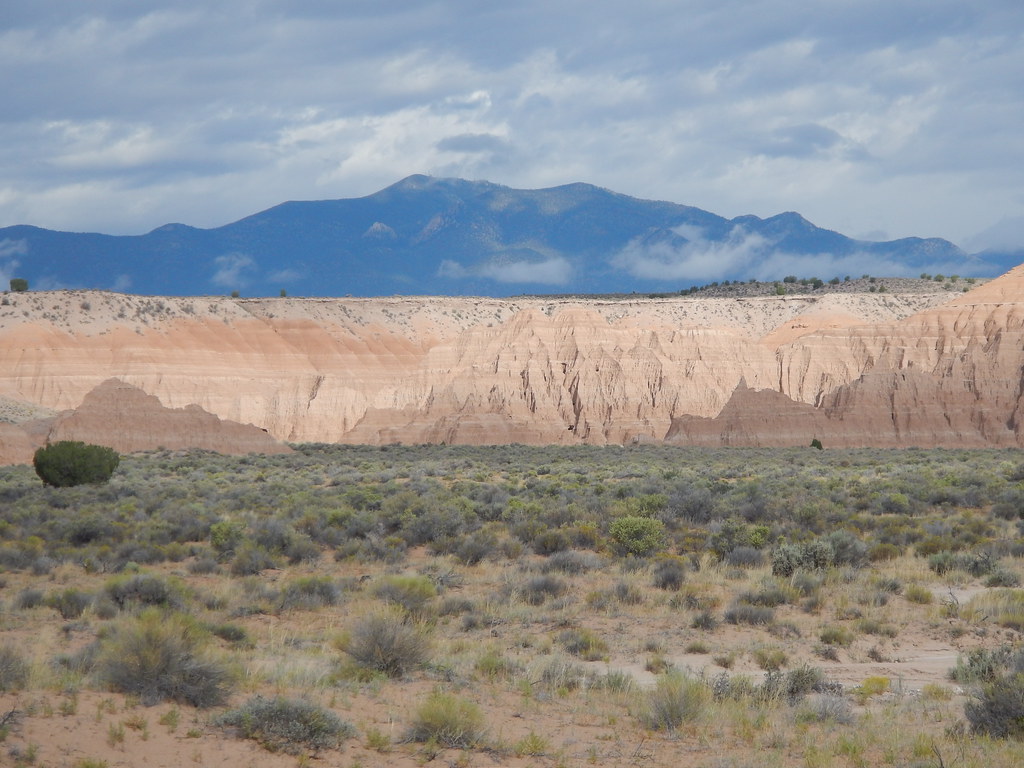 Juniper Draw Loop TrailHiking · ~25 min drivePhoto: Matt Lavin, CC BY-SA 2.0 (via Flickr)
- Rainbow RimHiking · ~8 min drivePhoto: Ken Lund, CC BY-SA 2.0 (via Flickr)
- Red Rhyolite TrailHiking · ~25 min drive
- Connector TrailHiking · ~5 min drive
 Nature TrailHiking · ~25 min drivePhoto: Matt Lavin, CC BY-SA 2.0 (via Flickr)
 Hawk's Ridge TrailHiking · ~26 min drivePhoto: Jon Gudorf Photography, CC BY-SA 2.0 (via Flickr)
Best time to visit Mongoose Trail
Best months: April–May and October. Best months have typical highs of 55–85 °F, lows of 30 °F or warmer (32 °F where the station doesn't record snow), at most one snowy day and no more than 12 wet days.
Jan
49° / 19°
4 wet
Feb
53° / 23°
5 wet
Mar
62° / 28°
5 wet
Apr
69° / 34°
4 wet
May
79° / 42°
4 wet
Jun
90° / 50°
3 wet
Jul
97° / 57°
4 wet
Aug
94° / 55°
4 wet
Sep
87° / 46°
3 wet
Oct
74° / 34°
3 wet
Nov
60° / 24°
3 wet
Dec
48° / 18°
4 wet
Typical high / low (°F) and days with rain or snow, 1991–2020. Measured at Caliente, NV, 4.4 mi away at 4,379 ft. The station sits about 700 ft lower than this place, so expect it a little cooler here. This station doesn't record snowfall. Source: NOAA NCEI U.S. Climate Normals 1991–2020.

Route details
- Distance
- 2.7 mi round trip
- Climbing
- About 1,406 ft
- Summit
- 5,242 ft
- Difficulty
- Moderate
- Time
- About 1.5 hours
Other routes up Tepee Rocks
Questions about this route
How long is the Mongoose Trail on Tepee Rocks?
About 2.7 mi round trip.
How much elevation gain is on the Mongoose Trail?
About 1,406 ft of climbing round trip.
How hard is the Mongoose Trail?
It is rated moderate.
How long does the Mongoose Trail take?
About 1.5 hours round trip.
How many routes go up Tepee Rocks?
5: Barnes Canyon Trailhead - Wake Up Call, Barnes Canyon Trailhead - Rocky Top, Mongoose Trail, Barnes Canyon Trailhead - Parallel and Barnes Canyon Trailhead - Board's Head.
Map and trail data © OpenStreetMap contributors
