Barnes Canyon Trailhead - Back 40
- 2.8 mi
- round trip
- 724 ft
- climb
- 5,297 ft
- high point
- Out and back
- route
- Apr–May, Oct
- best months
Barnes Canyon Trailhead - Back 40 is an easy out-and-back hike on Bureau of Land Management land in the Caliente Field Office of Nevada, about 2.8 miles long with a total elevation gain of 724 feet. The trail starts at roughly 5,263 feet and reaches a high point of about 5,297 feet, with the steepest stretch at about 0.9 miles in, where the grade reaches 9 percent. Spring and fall are the most comfortable times to go. Typical averages from a nearby weather station in Caliente show May highs around 79°F and October highs around 74°F, while July averages climb to about 97°F. That station sits nearly 900 feet lower than the trail, so temperatures on the route run cooler. Bikes are allowed on this natural-surface trail, but horses are not. The trip takes about 1.5 hours. Barnes Canyon Trailhead - Rocky Top is just 0.1 mile away, and the Back 40 mountain biking area is 0.2 mile off. Barnes Canyon Trailhead - Parallel and Barnes Canyon Trailhead - Board's Head are both within a mile.
- Barnes Canyon Trailhead - Rocky TopHiking0.1 mi
- Back 40Mountain biking0.2 mi
- Barnes Canyon Trailhead - ParallelHiking0.3 mi
- Barnes Canyon Trailhead - Board's HeadHiking0.8 mi
- Barnes Canyon Trailhead - Wake Up CallHiking0.8 mi
- MongooseMountain biking1.4 mi
- Barnes Canyon Trailhead - PrimerHiking1.8 mi
- Clover CreekCanoeing8.8 mi
Source: Roamze catalog (indexable pages within 10 miles, PostGIS distance)
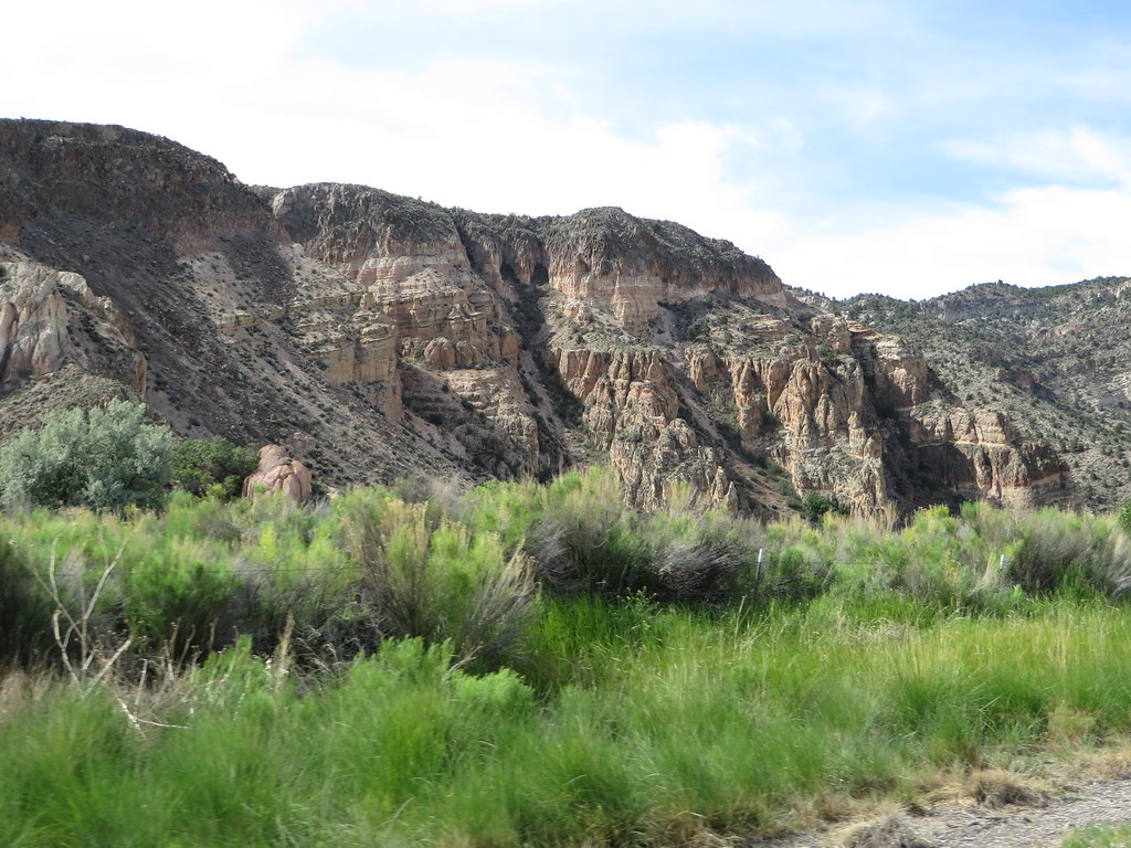 Canyon Overlook LoopHiking · ~8 min drivePhoto: Ken Lund, CC BY-SA 2.0 (via Flickr)
 Eagle Point TrailHiking · ~29 min drivePhoto: snowpeak, CC BY 2.0 (via Flickr)
- Connector TrailHiking · ~7 min drive
- Silver State TrailHiking · ~19 min drive
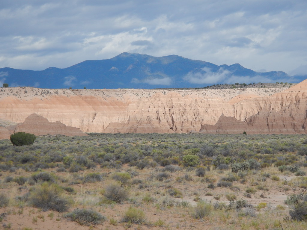 Juniper Draw Loop TrailHiking · ~28 min drivePhoto: Matt Lavin, CC BY-SA 2.0 (via Flickr)
- Rainbow RimHiking · ~9 min drivePhoto: Ken Lund, CC BY-SA 2.0 (via Flickr)
- Ella Mountain TrailHiking · ~7 min drive
- Red Rhyolite TrailHiking · ~26 min drive
 Nature TrailHiking · ~28 min drivePhoto: Matt Lavin, CC BY-SA 2.0 (via Flickr)
 Hawk's Ridge TrailHiking · ~28 min drivePhoto: Jon Gudorf Photography, CC BY-SA 2.0 (via Flickr)
Best time to visit Barnes Canyon Trailhead - Back 40
Best months: April–May and October. Best months have typical highs of 55–85 °F, lows of 30 °F or warmer (32 °F where the station doesn't record snow), at most one snowy day and no more than 12 wet days.
Jan
49° / 19°
4 wet
Feb
53° / 23°
5 wet
Mar
62° / 28°
5 wet
Apr
69° / 34°
4 wet
May
79° / 42°
4 wet
Jun
90° / 50°
3 wet
Jul
97° / 57°
4 wet
Aug
94° / 55°
4 wet
Sep
87° / 46°
3 wet
Oct
74° / 34°
3 wet
Nov
60° / 24°
3 wet
Dec
48° / 18°
4 wet
Typical high / low (°F) and days with rain or snow, 1991–2020. Measured at Caliente, NV, 5.6 mi away at 4,379 ft. The station sits about 900 ft lower than this place, so expect it a little cooler here. This station doesn't record snowfall. Source: NOAA NCEI U.S. Climate Normals 1991–2020.

