Silver City RV Resort
Campground
Campground · 1.7 mi from the trail
Closure in the area
There's a closure order in Humboldt-Toiyabe National Forest. It doesn't name James Lee Loop4, so check the source for the area it covers.
Elephant Fire Closure
Agency closure covering Humboldt-Toiyabe National Forest · Order 04-17-26-01-04 · USFS · Humboldt-Toiyabe National Forest
Floriston Fire Closure
Agency alert covering Carson Ranger District · Order 17-26-24 · USFS · Carson Ranger District
Power line construction along SR 88, Alpine County, California (Carson Ranger District)
Agency alert covering Carson Ranger District · USFS · Carson Ranger District
Over-Snow Vehicle Closure (Carson Ranger District)
Agency alert covering Carson Ranger District · Order 04-17-25-12 · USFS · Carson Ranger District
Area, Road, and Trail Closures (Spring Mountains National Recreation Area)
Agency alert covering Humboldt-Toiyabe National Forest · Order 04-17-25-04 · USFS · Humboldt-Toiyabe National Forest
As of · Source: USFS · Humboldt-Toiyabe National Forest. Agencies don't list every closure — check before you go.
James Lee Loop 4 is a 1-mile out-and-back hike on natural surface in the Carson Ranger District of Humboldt-Toiyabe National Forest in Nevada, about 50 miles from Carson City. It's an easy route with a low elevation gain of 43 feet one way, and the trail starts and ends near 4,944 feet with a high point at 4,946 feet. The trail is open from June 1 to October 15, and the trip takes about half a day. Bikes and horses are both allowed. Late spring and early fall are the most comfortable times to go. Typical averages from a nearby weather station in Carson City show May highs around 70°F and October highs near 68°F, while July averages about 90°F. James Lee Loop 1 and Clear Creek Trail both sit about half a mile away, and James Lee Loop 3 is about 0.6 miles off. Dinosaur Rock, a climbing area, lies about 2 miles away.
Silver City RV Resort
Campground
All-Star Bar
Bar
Places © OpenStreetMap contributors
More in Sunnyside-Tahoe CityNot on Roamze yet. Their page has how to reach them.
 Dinosaur RockRock climbingPhoto: Famartin, CC BY-SA 4.0 (via Wikimedia Commons)2 mi
 Prison HillRock climbingPhoto: Nouhailler, CC BY-SA 2.0 (via Flickr)5.1 mi
Source: Roamze catalog (indexable pages within 10 miles, PostGIS distance)
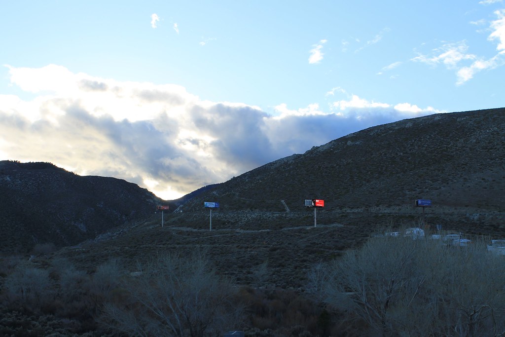 Dirt pathHiking · ~4 min drivePhoto: Nouhailler, CC BY-SA 2.0 (via Flickr)
 EZ TrailHiking · ~8 min drivePhoto: jfdervin, CC BY-SA 2.0 (via Flickr)
 Ash to Kings TrailHiking · ~8 min drivePhoto: jfdervin, CC BY-SA 2.0 (via Flickr)
 Bently Heritage TrailHiking · ~5 min drivePhoto: Seth Tisue, CC BY-SA 2.0 (via Flickr)
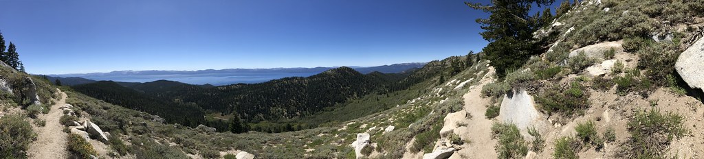 TRT N CANYON CAMPGROUND SPURHiking · ~10 min drivePhoto: jfdervin, CC BY-SA 2.0 (via Flickr)
 Lincoln BypassHiking · ~9 min drivePhoto: Wheeler Cowperthwaite, CC BY 2.0 (via Flickr)
 Clear CreekHiking · ~6 min drivePhoto: levlaz, CC BY-SA 2.0 (via Flickr)
 North Canyon RdHiking · ~11 min drivePhoto: simonov, CC BY-SA 2.0 (via Flickr)
 Capital to TahoeHiking · ~9 min drivePhoto: jfdervin, CC BY-SA 2.0 (via Flickr)
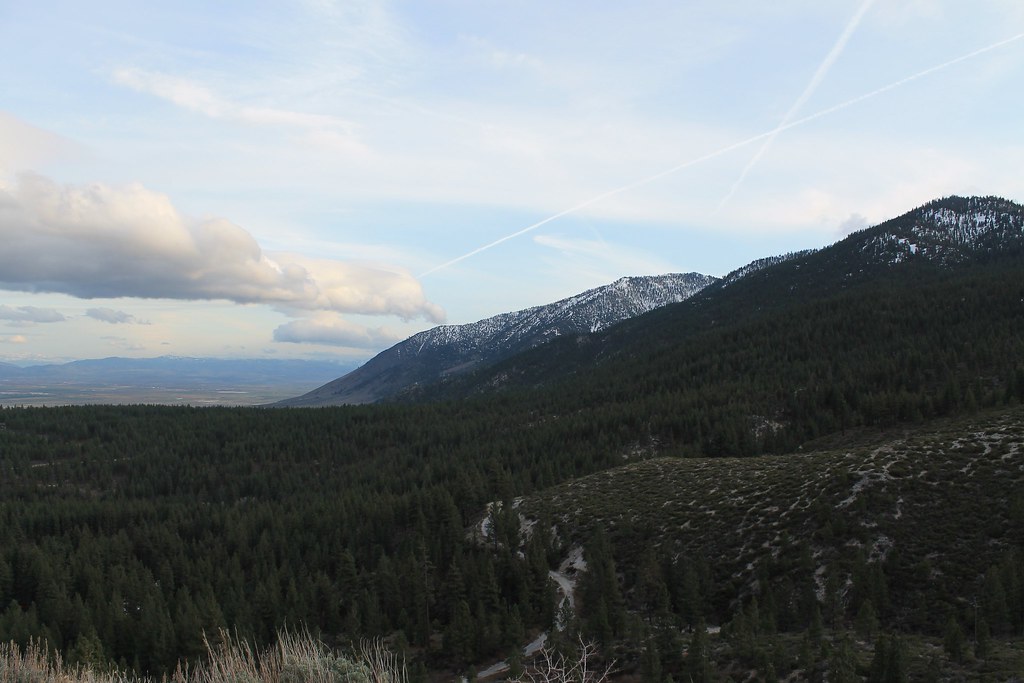 Clear CreekHiking · ~6 min drivePhoto: Nouhailler, CC BY-SA 2.0 (via Flickr)
Also worth it near here
Dinosaur RockRock climbing · ~3 min drivePhoto: Famartin, CC BY-SA 4.0 (via Wikimedia Commons) Tahoe Rim TrailMountain biking · ~9 min drivePhoto: Jim G from Silicon Valley, CA, USA, CC BY 2.0 (via Wikimedia Commons)
Best months: March–June and September–October. Best months have typical highs of 55–85 °F, lows of 30 °F or warmer (32 °F where the station doesn't record snow), at most one snowy day and no more than 12 wet days.
Jan
45° / 24°
6 wet · 2 snow
Feb
50° / 27°
6 wet · 1 snow
Mar
56° / 32°
5 wet · 1 snow
Apr
62° / 36°
3 wet
May
70° / 43°
3 wet
Jun
81° / 49°
2 wet
Jul
90° / 55°
1 wet
Aug
88° / 53°
1 wet
Sep
81° / 46°
1 wet
Oct
68° / 36°
2 wet
Nov
55° / 28°
3 wet · 1 snow
Dec
45° / 24°
5 wet · 1 snow
Typical high / low (°F) and days with rain or snow, 1991–2020. Measured at Carson City, NV, 3.4 mi away at 4,761 ft. Source: NOAA NCEI U.S. Climate Normals 1991–2020.
