Carson RV Resort
Campground
Campground · 4.9 mi from the trail
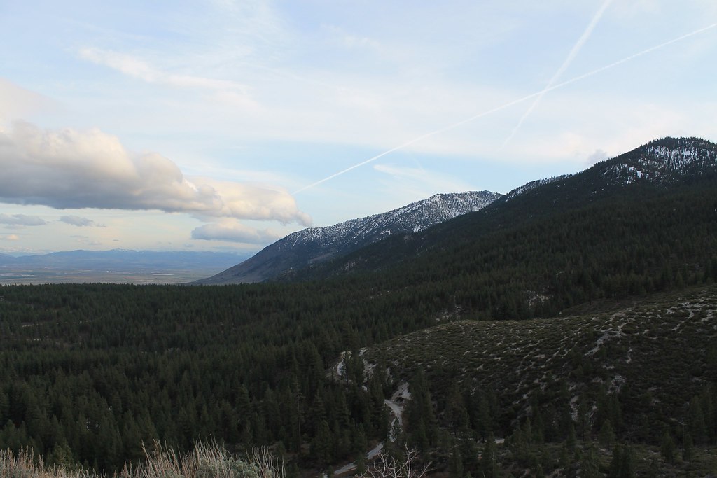 Photo: Nouhailler, CC BY-SA 2.0 (via Flickr)
Closure in the area
There's a closure order in Carson Ranger District. It doesn't name Clear Creek, so check the source for the area it covers (3 listed).
Hawk Fire Closure (Carson Ranger District)
Agency closure covering Carson Ranger District · Order 04-17-26-01-08 · USFS · Carson Ranger District
Emergency Recreation Shooting Order (Carson Ranger District)
Agency closure covering Carson Ranger District · Order 04-17-26-01-05 · USFS · Carson Ranger District
Elephant Fire Closure
Agency closure covering Humboldt-Toiyabe National Forest · Order 04-17-26-01-04 · USFS · Humboldt-Toiyabe National Forest
Floriston Fire Closure
Agency alert covering Carson Ranger District · Order 17-26-24 · USFS · Carson Ranger District
Power line construction along SR 88, Alpine County, California (Carson Ranger District)
Agency alert covering Carson Ranger District · USFS · Carson Ranger District
As of · Source: USFS · Carson Ranger District. Agencies don't list every closure — check before you go.
Clear Creek is an easy, out-and-back hike of about 1.4 miles on Forest Service land in Nevada's Humboldt-Toiyabe National Forest, within the Carson Ranger District. The trail rises roughly 120 feet from a low point of about 6,061 feet to a high of about 6,196 feet, and the steepest stretch comes early on, around the 0.11-mile mark, with a grade of about 12%. Summer is the most comfortable time to go. Typical averages from the nearby Glenbrook weather station run to highs around 77°F in July, with lows near 50°F and only about one wet day a month. Winter there is cold, with January highs around 41°F and lows near 25°F. Other outings sit within a few miles. The Spooner Loop and the TRT N Canyon Campground Spur are both about 2.6 miles away, and the North Canyon Rd and Main Rock climbing area are about 2.7 miles off.
Carson RV Resort
Campground
Places © OpenStreetMap contributors
More in Sunnyside-Tahoe CityNot on Roamze yet. Their page has how to reach them.
Best months: May–October. Best months have typical highs of 55–85 °F, lows of 30 °F or warmer (32 °F where the station doesn't record snow), at most one snowy day and no more than 12 wet days.
Jan
41° / 25°
8 wet
Feb
41° / 25°
7 wet
Mar
46° / 28°
6 wet
Apr
51° / 30°
4 wet
May
59° / 37°
4 wet
Jun
69° / 42°
2 wet
Jul
77° / 50°
1 wet
Aug
76° / 50°
1 wet
Sep
71° / 45°
2 wet
Oct
60° / 38°
3 wet
Nov
48° / 30°
5 wet
Dec
40° / 25°
7 wet
Typical high / low (°F) and days with rain or snow, 1991–2020. Measured at Glenbrook, NV, 4.7 mi away at 6,350 ft. This station doesn't record snowfall. Source: NOAA NCEI U.S. Climate Normals 1991–2020.
 Photo: levlaz, CC BY-SA 2.0 (via Flickr)
Clear Creek
~1 min drive
0.65-mile out-and-back trail in Nevada with 194 ft gain.
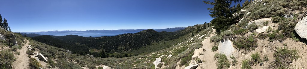 Photo: jfdervin, CC BY-SA 2.0 (via Flickr)
TRT N CANYON CAMPGROUND SPUR
~4 min drive
2.84-mile out-and-back trail in Nevada with 1,410 ft elevation gain and loss.
 Photo: jfdervin, CC BY-SA 2.0 (via Flickr)
Ash to Kings Trail
~6 min drive
14.20-mile out-and-back trail in Nevada with 546 ft elevation gain.
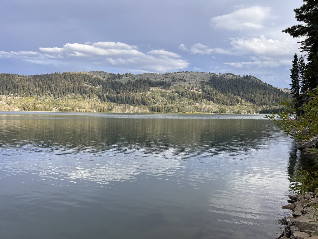 Photo: Ken Lund, CC BY-SA 2.0 (via Flickr)
Hobart Rd
~7 min drive
8.6-mile out-and-back desert road hike with open views.
 Photo: simonov, CC BY-SA 2.0 (via Flickr)
Spooner Loop
~5 min drive
Easy 2.29-mile loop with scenic Nevada views and accessible hiking.
Photo: simonov, CC BY-SA 2.0 (via Flickr)North Canyon Rd
~5 min drive
4.55-mile out-and-back canyon road hike in Nevada.
 Photo: Ken Lund, CC BY-SA 2.0 (via Flickr)
North Canyon Trail
~7 min drive
Moderate out-and-back canyon hike through Nevada's scenic terrain.
 Photo: simonov, CC BY-SA 2.0 (via Flickr)
Captain Pomin Trail
~5 min drive
2.34-mile out-and-back trail in Nevada with 663 ft elevation gain.
 Photo: simonov, CC BY-SA 2.0 (via Flickr)
North Canyon Rim Trail Connector
~5 min drive
2.62-mile out-and-back trail in Nevada with 1,502 ft elevation gain
 Photo: jfdervin, CC BY-SA 2.0 (via Flickr)
Capital to Tahoe
~7 min drive
20.24-mile out-and-back trail in Nevada with 1,776 ft gain
Map and trail data © OpenStreetMap contributors


