Fay-Luther-Jobs Peak Ranch Trail
- 1.6 mi
- round trip
- 937 ft
- climb
- 5,293 ft
- high point
- Out and back
- route
- Apr–Jun, Sep–Oct
- best months
Is Fay-Luther-Jobs Peak Ranch Trail open right now?
Closure in the area
There's a closure order in Carson Ranger District. It doesn't name Fay-Luther-Jobs Peak Ranch Trail, so check the source for the area it covers (2 listed).
Hawk Fire Closure (Carson Ranger District)
Agency closure covering Carson Ranger District · Order 04-17-26-01-08 · USFS · Carson Ranger District
Elephant Fire Closure
Agency closure covering Humboldt-Toiyabe National Forest · Order 04-17-26-01-04 · USFS · Humboldt-Toiyabe National Forest
Floriston Fire Closure
Agency alert covering Carson Ranger District · Order 17-26-24 · USFS · Carson Ranger District
Power line construction along SR 88, Alpine County, California (Carson Ranger District)
Agency alert covering Carson Ranger District · USFS · Carson Ranger District
Over-Snow Vehicle Closure (Carson Ranger District)
Agency alert covering Carson Ranger District · Order 04-17-25-12 · USFS · Carson Ranger District
As of · Source: USFS · Carson Ranger District. Agencies don't list every closure — check before you go.
Fay-Luther-Jobs Peak Ranch Trail is an easy out-and-back hike in the Carson Ranger District of Humboldt-Toiyabe National Forest in Nevada, about a mile from the town of Sheridan. The trail is 3.2 miles long, with a total elevation gain of 937 feet. The route starts at about 5,286 feet and reaches a high point of 5,293 feet, so the climb is short and the grade is gentle. The steepest stretch comes at about half a mile in, with a 12% grade. For comfortable weather, aim for late spring or early fall. Typical averages from the nearby Minden weather station show May highs around 73°F and October highs around 71°F, while July and August average about 90°F. Valley View Loop and Fay-Luther are both within a mile. Across the state line in California, the West Fork Carson River offers canoeing about 5 miles away, and Hope Valley campground sits about 5.5 miles off.
Local outfitters
- Alpenglow Expeditions31 mi away
Not on Roamze yet. Their page has how to reach them.
Best time to go · Apr–Jun, Sep–Oct
Best time to visit Fay-Luther-Jobs Peak Ranch Trail
Best months: April–June and September–October. Best months have typical highs of 55–85 °F, lows of 30 °F or warmer (32 °F where the station doesn't record snow), at most one snowy day and no more than 12 wet days.
Jan
47° / 19°
6 wet · 3 snow
Feb
51° / 22°
6 wet · 2 snow
Mar
58° / 27°
5 wet · 2 snow
Apr
64° / 30°
4 wet · 1 snow
May
73° / 38°
3 wet
Jun
83° / 44°
2 wet
Jul
91° / 49°
2 wet
Aug
90° / 47°
2 wet
Sep
83° / 40°
2 wet
Oct
71° / 31°
3 wet
Nov
57° / 23°
4 wet · 1 snow
Dec
46° / 19°
6 wet · 2 snow
Typical high / low (°F) and days with rain or snow, 1991–2020. Measured at Minden, NV, 5.8 mi away at 4,709 ft. The station sits about 600 ft lower than this place, so expect it a little cooler here. Source: NOAA NCEI U.S. Climate Normals 1991–2020.
Keep exploring — more trails worth the drive
 Photo: Jim Morefield, CC BY-SA 2.0 (via Flickr)
Lonesome Trail
~2 min drive
0.64-mile out-and-back trail in Nevada with 102 ft gain.
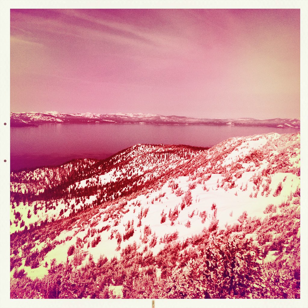 Photo: denverkid, CC BY 2.0 (via Flickr)
Monument Pass Trail
~7 min drive
5.3-mile out-and-back trail in California with 2,249 ft elevation gain and loss.
 Photo: DaltonKat2, CC BY-SA 2.0 (via Flickr)
Power Line Trail
~11 min drive
7.14-mile out-and-back hike in California with 508 ft elevation gain.
Photo: Jim Morefield, CC BY-SA 2.0 (via Flickr)Appaloosa Trail
~2 min drive
2.10-mile out-and-back trail in Nevada with 121 ft of elevation gain.
 Photo: UncleVinny, CC BY 3.0 (via Wikimedia Commons)
Horsethief
~13 min drive
3.60-mile out-and-back trail in California with 2,345 ft elevation gain.
Photo: DaltonKat2, CC BY-SA 2.0 (via Flickr)Cold Creek Trail
~11 min drive
11-mile out-and-back hike in California with 1,574 ft elevation gain.
 Photo: jfdervin, CC BY-SA 2.0 (via Flickr)
Olympic Trail
~10 min drive
0.8-mile out-and-back trail in Nevada with 357 ft of elevation gain.
HIKE
Faye-Luther Canyon
~2 min drive
3.68-mile out-and-back trail in Faye-Luther Canyon, Nevada
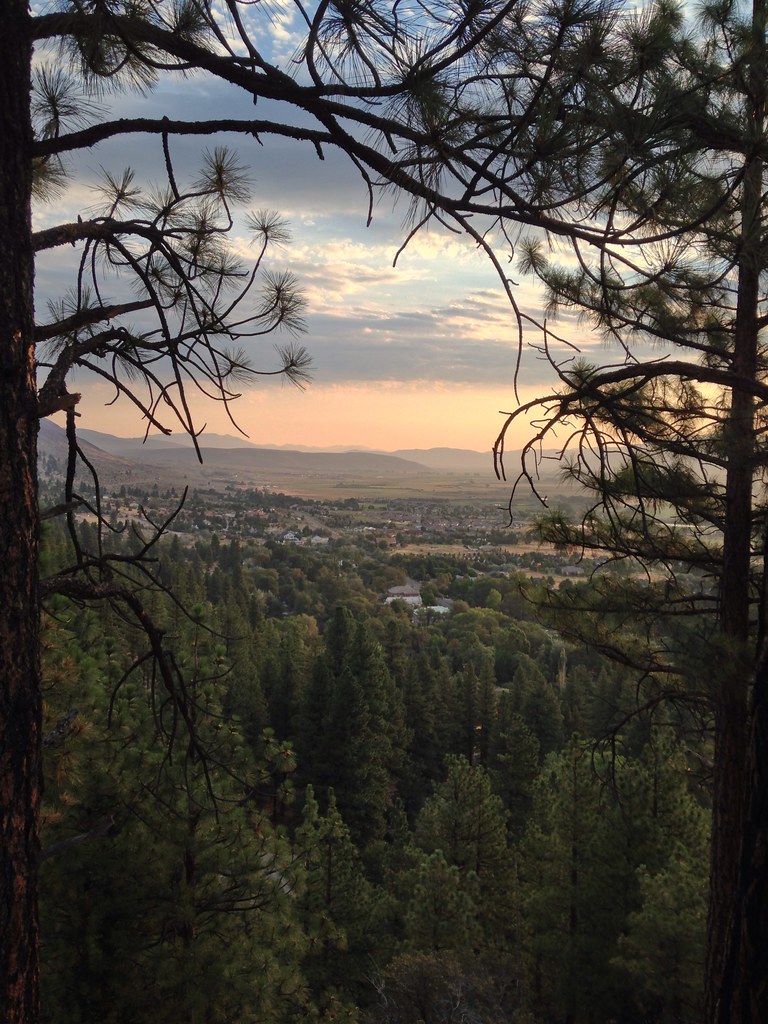 Photo: jfdervin, CC BY-SA 2.0 (via Flickr)
Genoa Foothill Trail
~14 min drive
15.70-mile out-and-back trail in Nevada with 977 ft gain.
Photo: jfdervin, CC BY-SA 2.0 (via Flickr)TRT: Spooner Summit to Kingsbury South
~10 min drive
Brief TRT segment with alpine views near Spooner Summit.


Map and trail data © OpenStreetMap contributors
