Fay Luther
- 0.4 mi
- round trip
- 202 ft
- climb
- 5,012 ft
- high point
- Out and back
- route
- Apr–Jun, Sep–Oct
- best months
Fay Luther is an easy out-and-back hike on Bureau of Land Management land in the Sierra Front Field Office in Nevada. It is a short walk of about 0.8 miles, with a low point of 4,978 feet and a high of 5,012 feet, so the climb is gentle. The steepest stretch comes early, at about 5% grade, and the whole route is a little over 20 feet of elevation gain. The most comfortable times to go are late spring and early fall. Typical averages from a nearby weather station in Minden show May highs around 73°F and October highs around 71°F, while July and August average in the low 90s. Winter is cold, with January highs near 47°F and lows around 19°F. Lonesome Trail and Appaloosa Trail both start within about a tenth of a mile. West Fork Carson River, a paddling route, is about 4.4 miles away, and Hope Valley campground is about 6.4 miles away.
Local outfitters
- Alpenglow Expeditions32 mi away
Not on Roamze yet. Their page has how to reach them.
 Lonesome TrailHikingPhoto: Jim Morefield, CC BY-SA 2.0 (via Flickr)0.1 mi
- Appaloosa TrailHikingPhoto: Jim Morefield, CC BY-SA 2.0 (via Flickr)0.1 mi
 West Fork Carson RiverCanoeingPhoto: Skooiman at English Wikipedia, Public domain (via Wikimedia Commons)4.4 mi
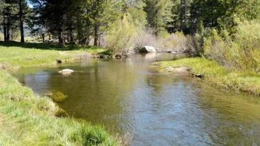 Hope ValleyCampingPhoto: Recreation.gov (RIDB) / public domain6.4 mi
- Deadwood WallRock climbing6.7 mi
- Deadwood CragsRock climbing6.7 mi
- Crystal Springs CampgroundCamping7.5 mi
- Trout CreekCanoeing8 mi
Source: Roamze catalog (indexable pages within 10 miles, PostGIS distance)
- Appaloosa TrailHiking · Next doorPhoto: Jim Morefield, CC BY-SA 2.0 (via Flickr)
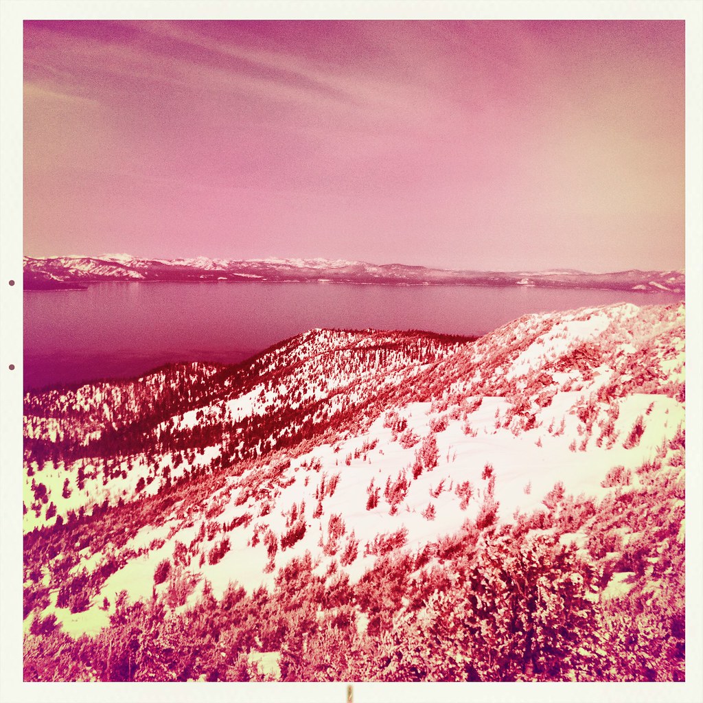 Monument Pass TrailHiking · ~9 min drivePhoto: denverkid, CC BY 2.0 (via Flickr)
 Cold Creek TrailHiking · ~13 min drivePhoto: DaltonKat2, CC BY-SA 2.0 (via Flickr)
- Lonesome TrailHiking · Next doorPhoto: Jim Morefield, CC BY-SA 2.0 (via Flickr)
 HorsethiefHiking · ~13 min drivePhoto: UncleVinny, CC BY 3.0 (via Wikimedia Commons)
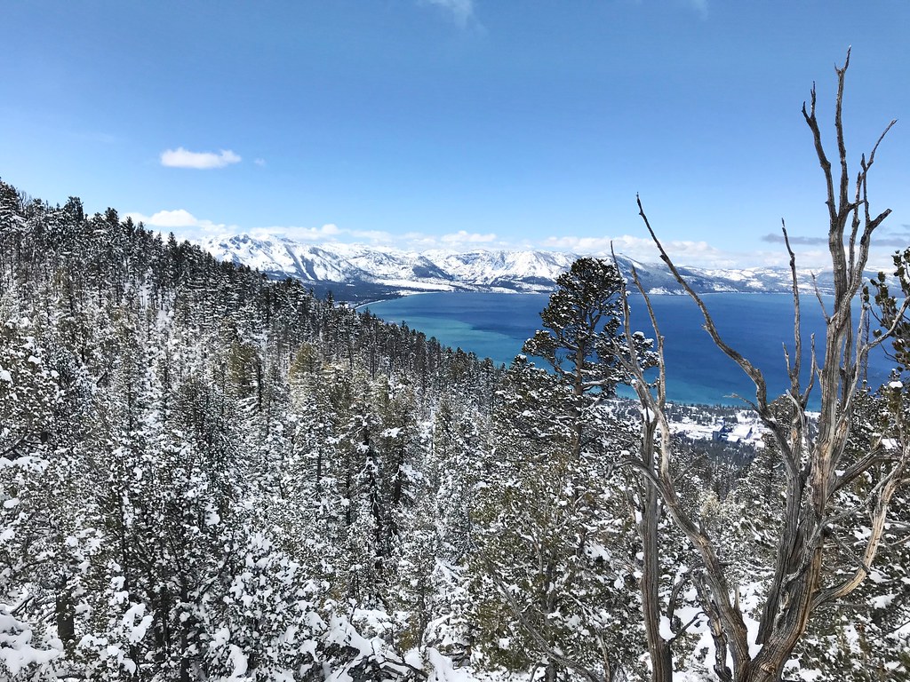 Van Sickle TrailHiking · ~13 min drivePhoto: jfdervin, CC BY-SA 2.0 (via Flickr)
 Olympic TrailHiking · ~12 min drivePhoto: jfdervin, CC BY-SA 2.0 (via Flickr)
 4-Second Climbing TrailHiking · ~13 min drivePhoto: simonov, CC BY-SA 2.0 (via Flickr)
- Power Line TrailHiking · ~13 min drivePhoto: DaltonKat2, CC BY-SA 2.0 (via Flickr)
- TRT: Spooner Summit to Kingsbury SouthHiking · ~12 min drivePhoto: jfdervin, CC BY-SA 2.0 (via Flickr)
Also worth it near here
 Jobs PeakSummit · ~4 min drivePhoto: beth woodrum from Kingman, Arizona, USA, CC BY 2.0 (via Wikimedia Commons)
- Star LakeLake fishing · ~7 min drive
- West Fork Carson RiverCanoeing · ~8 min drivePhoto: Skooiman at English Wikipedia, Public domain (via Wikimedia Commons)
- Hope ValleyCamping · ~11 min drive
Best time to visit Fay Luther
Best months: April–June and September–October. Best months have typical highs of 55–85 °F, lows of 30 °F or warmer (32 °F where the station doesn't record snow), at most one snowy day and no more than 12 wet days.
Jan
47° / 19°
6 wet · 3 snow
Feb
51° / 22°
6 wet · 2 snow
Mar
58° / 27°
5 wet · 2 snow
Apr
64° / 30°
4 wet · 1 snow
May
73° / 38°
3 wet
Jun
83° / 44°
2 wet
Jul
91° / 49°
2 wet
Aug
90° / 47°
2 wet
Sep
83° / 40°
2 wet
Oct
71° / 31°
3 wet
Nov
57° / 23°
4 wet · 1 snow
Dec
46° / 19°
6 wet · 2 snow
Typical high / low (°F) and days with rain or snow, 1991–2020. Measured at Minden, NV, 6.2 mi away at 4,709 ft. Source: NOAA NCEI U.S. Climate Normals 1991–2020.
Map and trail data © OpenStreetMap contributors
