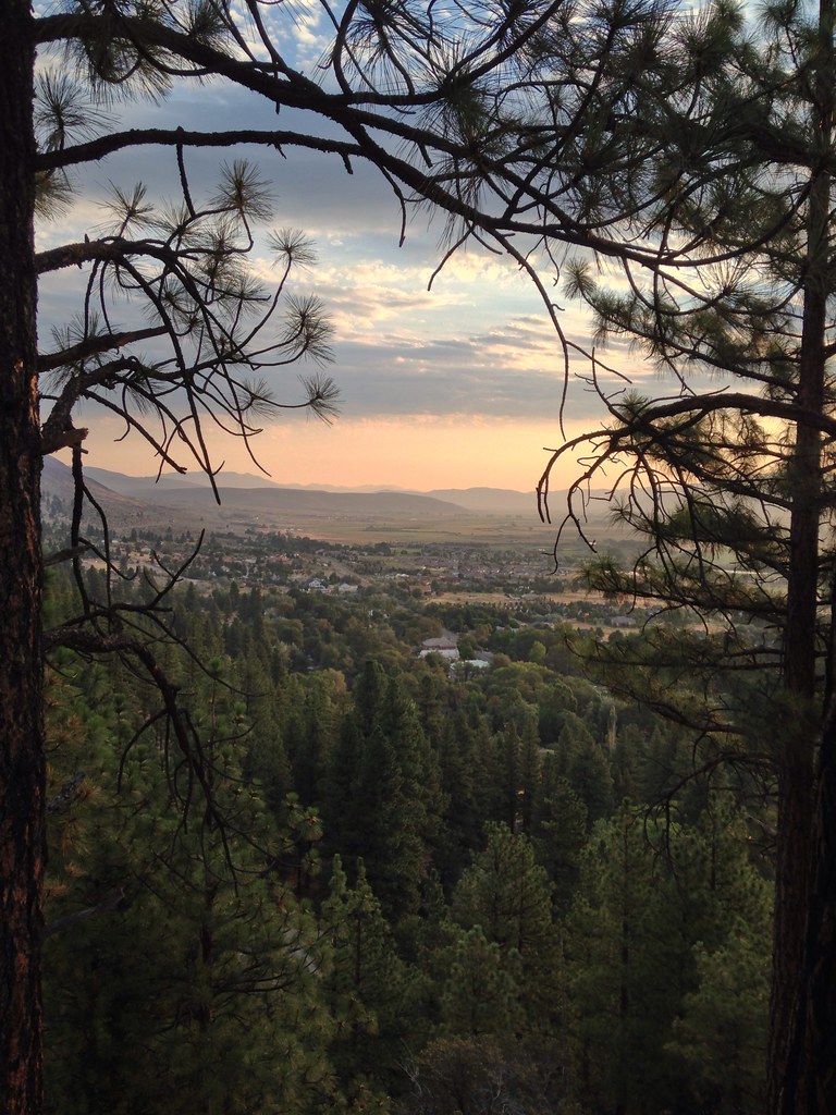

Zephry Cove RV Park and Campground
Campground
3.1 mi from the trail
 Photo: Famartin, CC BY-SA 4.0 (via Wikimedia Commons)
Genoa Peak is a short mountain biking outing in Nevada, within the Lake Tahoe Basin Management Unit of the national forest system. The Forest Service manages the land, and the route sits at about 7,900 feet, rising from a low point of 7,921 feet to a high of 7,964 feet over 0.12 miles. The climb is a slight gain of 29 feet, with a small loss of 84 feet, so it's a short, nearly flat ride rather than a serious ascent. Summer is the most comfortable time to ride. Typical averages from the nearby Dagget Pass weather station, which sits about 630 feet below the peak, run from highs near 75°F in July to around 74°F in August, with only one or two wet days a month. Winter highs stay in the mid-30s. The Tahoe Rim Trail Daggett North Loop lies about 0.3 miles away, and the Trt Daggett Ne Vista Spur is about 0.4 miles off. Climbers can find Castle Rock about a mile out, and Nevada Beach Campground is roughly 3.4 miles away.
Where it is: Lake Tahoe Basin Management Unit
Best months: May–October. Best months have typical highs of 55–85 °F, lows of 30 °F or warmer (32 °F where the station doesn't record snow), at most one snowy day and no more than 12 wet days.
Jan
36°
23°
9 wet
Feb
37°
23°
8 wet
Mar
42°
26°
7 wet
Apr
48°
29°
5 wet
May
56°
35°
4 wet
Jun
66°
42°
2 wet
Jul
75°
49°
2 wet
Aug
74°
49°
1 wet
Sep
67°
44°
2 wet
Oct
55°
36°
3 wet
Nov
43°
28°
5 wet
Dec
35°
23°
7 wet
Typical high / low (°F) and days with rain or snow, 1991–2020. Measured at Dagget Pass, NV, 0.8 mi away at 7,334 ft. The station sits about 600 ft lower than this place, so expect it a little cooler here. This station doesn't record snowfall. Source: NOAA NCEI U.S. Climate Normals 1991–2020.
Been here? Tell people how it was.
Tahoe Rim Trail Daggett North LoopMountain bikingPhoto: Famartin, CC BY-SA 4.0 (via Wikimedia Commons)0.3 miTrt Daggett Ne Vista SpurMountain bikingPhoto: Famartin, CC BY-SA 4.0 (via Wikimedia Commons)0.4 mi Nevada Beach CampgroundCampingPhoto: Recreation.gov (RIDB) / public domain3.4 mi
 Hope ValleyCampingPhoto: Recreation.gov (RIDB) / public domain6.8 miTahoe Rim Trail Daggett North LoopMountain bikingPhoto: Famartin, CC BY-SA 4.0 (via Wikimedia Commons)Next door
 Tahoe Rim TrailMountain bikingPhoto: AT2663, CC BY-SA 3.0 (via Wikimedia Commons)~2 min driveTrt Daggett Ne Vista SpurMountain bikingPhoto: Famartin, CC BY-SA 4.0 (via Wikimedia Commons)Next doorTahoe Rim TrailMountain bikingPhoto: AT2663, CC BY-SA 3.0 (via Wikimedia Commons)~2 min driveTrt Daggett Ne Vista SpurMountain bikingPhoto: Famartin, CC BY-SA 4.0 (via Wikimedia Commons)Next doorTahoe Rim TrailMountain bikingPhoto: AT2663, CC BY-SA 3.0 (via Wikimedia Commons)~3 min driveTrt Daggett North LoopMountain bikingPhoto: Famartin, CC BY-SA 4.0 (via Wikimedia Commons)Next door
 Tahoe Rim TrailMountain bikingPhoto: Jim G from Silicon Valley, CA, USA, CC BY 2.0 (via Wikimedia Commons)~9 min drive
Daily highs and lows, wind and the chance of precipitation at Genoa Peak for the next 7 days, from the Open-Meteo model.
Questions about Genoa Peak: conditions, access, timing. Answers say when something isn't known.
Zephry Cove RV Park and Campground
Campground
The Genoa Gallery
Gallery
Places © OpenStreetMap contributors, Places © Overture Maps Foundation
More in Sunnyside-Tahoe CityNot on Roamze yet. Their page has how to reach them.
Map and trail data © OpenStreetMap contributors
