Copper Basin Mtn. Bike Trail - Loop 4 - The Playground-approach
- 0.7 mi
- round trip
- 156 ft
- climb
- 5,151 ft
- high point
- Out and back
- route
- Apr–May, Oct
- best months
Copper Basin Mtn. Bike Trail - Loop 4 - The Playground-approach is an easy, 0.72-mile out-and-back hike in Nevada's Copper Basin area, about 2.3 miles from the town of Copper Basin. The BLM manages the land, and the trail's natural surface makes it a straightforward outing on foot or on a bike. The climb is gentle, with the low point at 4,997 feet and the high point at 5,151 feet, giving the route a total elevation gain of 156 feet. The trail is marked as the approach to The Playground, and it pairs easily with other loops in the Copper Basin Mtn. Bike Trail network. Spring and fall are the most comfortable times to go. Typical averages from a nearby weather station at Battle Mountain show May highs around 78°F and October highs around 73°F. July and August average over 100°F, and the station sits roughly 650 feet lower than the trail, so expect it to run cooler up high. Several other loops start close by. Loop 5 - The Playground is just 0.2 miles away, Loop 1 - Dill Canyon Loop is about a mile off, and Loop 2 - Limestone Wash Extension is roughly 1.6 miles away. The Old California Trail lies about 6 miles from the trail.
Best time to go · Apr–May, Oct
Best time to visit Copper Basin Mtn. Bike Trail - Loop 4 - The Playground-approach
Best months: April–May and October. Best months have typical highs of 55–85 °F, lows of 30 °F or warmer (32 °F where the station doesn't record snow), at most one snowy day and no more than 12 wet days.
Jan
46° / 22°
8 wet · 3 snow
Feb
52° / 26°
7 wet · 2 snow
Mar
62° / 31°
8 wet · 2 snow
Apr
68° / 36°
7 wet · 1 snow
May
78° / 44°
7 wet
Jun
89° / 50°
4 wet
Jul
100° / 56°
2 wet
Aug
98° / 53°
2 wet
Sep
87° / 45°
3 wet
Oct
73° / 34°
4 wet
Nov
57° / 27°
6 wet · 2 snow
Dec
46° / 22°
7 wet · 3 snow
Typical high / low (°F) and days with rain or snow, 1991–2020. Measured at Battle Mountain 4se, NV, 5.9 mi away at 4,505 ft. The station sits about 600 ft lower than this place, so expect it a little cooler here. Source: NOAA NCEI U.S. Climate Normals 1991–2020.
Keep exploring — more trails worth the drive
 Photo: Jürgen Regel, Marian…, CC BY 3.0 (via Wikimedia Commons)
Old California Trail
~18 min drive
38.06-mile out-and-back trail in Nevada with 162 ft elevation gain/loss
 Photo: Ken Lund, CC BY-SA 2.0 (via Flickr)
Water Canyon Trail
~1h 6m drive
3.72-mile out-and-back trail in Nevada with 1,377 ft elevation gain
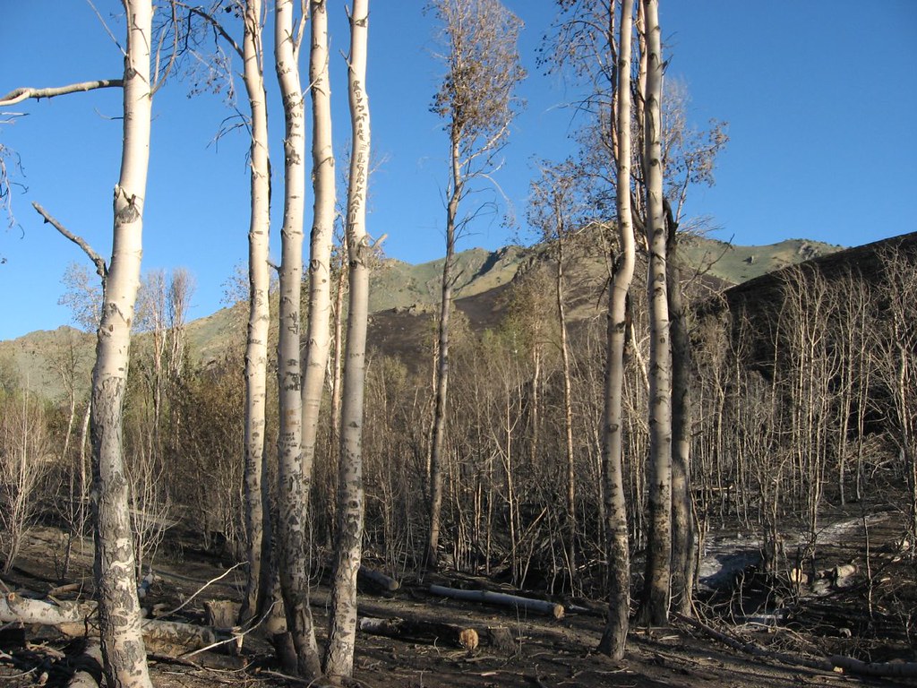 Photo: Ken Lund, CC BY-SA 2.0 (via Flickr)
Water Canyon Overlook Trail
~1h 10m drive
0.56-mile out-and-back hike in Nevada with 20 ft of elevation gain.
HIKE
Copper Basin Mtn. Bike Trail - Loop 3 - Long Canyon Loop
~6 min drive
10.38-mile lollipop trail in Nevada with 663 ft elevation gain.
 Photo: Ken Lund, CC BY-SA 2.0 (via Flickr)
Moose Head Mine Trail
~1h 8m drive
3.44-mile out-and-back trail in Nevada with 2,050 ft elevation gain and loss.
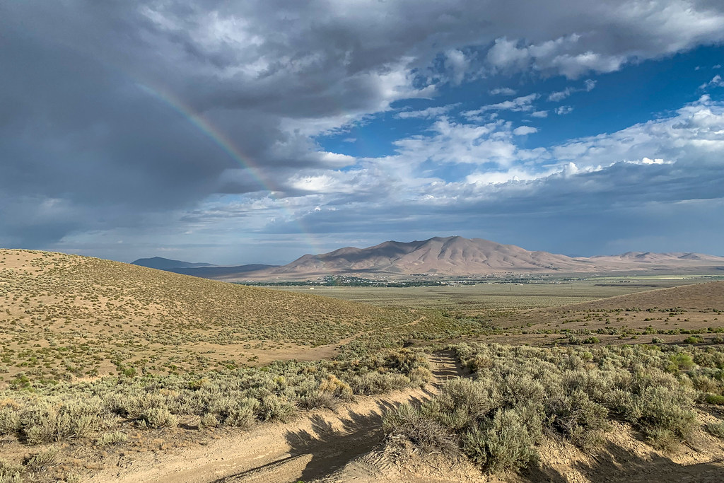 Photo: Doug Letterman, CC BY 2.0 (via Flickr)
Mountain View
~1h 10m drive
1.5-mile out-and-back trail in Nevada with 258 ft gain and 5,263 ft max elevation.
HIKE
Sonoma Crest Trail
~1h 4m drive
5.98-mile out-and-back trail in Nevada with 2,610 ft elevation gain and loss, reaching 8,952 ft.
 Photo: Matt Lavin, CC BY-SA 2.0 (via Flickr)
Pole Line Trail
~1h 22m drive
1.64-mile out-and-back trail in Nevada with 1,711 ft elevation gain
 Photo: Ken Lund, CC BY-SA 2.0 (via Flickr)
Water Canyon-Bloody Shins Connector
~1h 11m drive
1.88-mile out-and-back trail in Nevada with 530 ft gain and 5,555 ft max elevation.
HIKE
Upper Mountain Trail
~1h 23m drive
7.14-mile out-and-back hike in Nevada with 4,461 ft gain/loss.

