Adt - Nevada - S - Seg 1
- 1.0 mi
- round trip
- 113 ft
- climb
- 6,673 ft
- high point
- Out and back
- route
- Jun, Sep
- best months
Adt - Nevada - S - Seg 1 is a 1.9-mile out-and-back trail in Nevada's Steptoe Valley Wildlife Management Area, managed by State Fish and Wildlife. The trail is rated easy, with about 141 feet of elevation gain over its length. It has a dirt surface, and the route runs from a low point of about 6,550 feet to a high of about 6,673 feet. Late spring and early fall are the most comfortable times to go. Typical averages from a nearby weather station show May highs around 69°F and September highs around 78°F, while July averages about 89°F and winter brings frequent snow days. Cave Valley Road lies about 0.9 miles away, and South Gallagher and North Gallagher are each roughly 2.7 miles off. For an overnight stay, Ward Mountain Campground is about 8.9 miles away.
- Cave Valley RoadHiking0.9 mi
- South GallagherHiking2.6 mi
- North GallagherHiking2.7 mi
- Lowery ConnectorHiking3.3 mi
- LOWERY CANYONHiking3.3 mi
- Square TopRock climbing6.2 mi
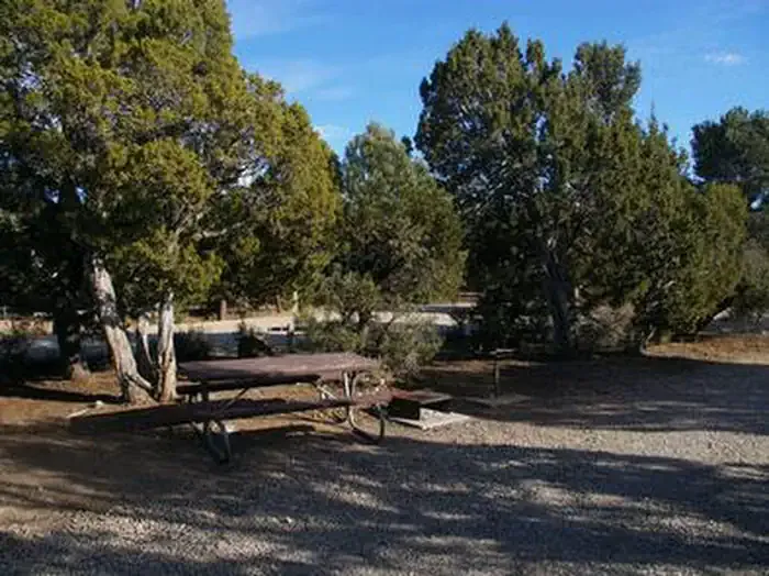 Ward Mtn. Campground (murray Summit)CampingPhoto: Recreation.gov (RIDB) / public domain8.8 mi
- Ward Mountain CampgroundCamping8.9 mi
Source: Roamze catalog (indexable pages within 10 miles, PostGIS distance)
 Campground Ovens TrailHiking · ~15 min drivePhoto: Seth Tisue, CC BY-SA 2.0 (via Flickr)
- South GallagherHiking · ~5 min drive
- Ice Plant CanyonHiking · ~10 min drive
- Riparian LoopHiking · ~16 min drivePhoto: Seth Tisue, CC BY-SA 2.0 (via Flickr)
- North GallagherHiking · ~5 min drive
- Squaw Peak Hill ClimbHiking · ~14 min drive
- Lowery ConnectorHiking · ~6 min drive
- OLD DIG TRAILHiking · ~7 min drive
- Cave Valley RoadHiking · ~2 min drive
- LOWERY CANYONHiking · ~6 min drive
Best time to visit Adt - Nevada - S - Seg 1
Best months: June and September. Best months have typical highs of 55–85 °F, lows of 30 °F or warmer (32 °F where the station doesn't record snow), at most one snowy day and no more than 12 wet days.
Jan
41° / 12°
7 wet · 6 snow
Feb
44° / 16°
7 wet · 6 snow
Mar
52° / 23°
7 wet · 5 snow
Apr
59° / 28°
8 wet · 4 snow
May
69° / 34°
8 wet · 2 snow
Jun
81° / 41°
5 wet
Jul
89° / 49°
5 wet
Aug
87° / 48°
6 wet
Sep
78° / 39°
5 wet
Oct
64° / 28°
5 wet · 1 snow
Nov
51° / 19°
5 wet · 4 snow
Dec
41° / 12°
6 wet · 6 snow
Typical high / low (°F) and days with rain or snow, 1991–2020. Measured at Ely Yelland Fld Ap, NV, 9 mi away at 6,262 ft. Source: NOAA NCEI U.S. Climate Normals 1991–2020.

Map and trail data © OpenStreetMap contributors
