Carson RV Resort
Campground
Campground · 2.1 mi from the trail
 Photo: jfdervin, CC BY-SA 2.0 (via Flickr)
C Mountain Foothill Trail is a short, easy hike about half a mile from Carson City, Nevada, with the Carson Ranger District Office just 0.3 miles away. The trail is an out-and-back, roughly a mile long, with a total climb of about 200 feet from a low point of 4,698 feet to a high of 4,781 feet. The steepest stretch comes at about 0.2 miles in, with a 7% grade. Spring and fall are the most comfortable times to go. Typical averages from a nearby weather station in Carson City show May highs around 70°F and October highs around 68°F, while July averages about 90°F and winter brings highs in the mid-40s and a few snowy days a month. C Hill Foothill Trail is 0.4 miles away, and Lincoln Bypass and EZ Trail are both within about 1.7 miles. Washoe Lake State Park Campground is about 6 miles off.
Carson RV Resort
Campground
Places © OpenStreetMap contributors
More in Sunnyside-Tahoe CityNot on Roamze yet. Their page has how to reach them.
Best months: March–June and September–October. Best months have typical highs of 55–85 °F, lows of 30 °F or warmer (32 °F where the station doesn't record snow), at most one snowy day and no more than 12 wet days.
Jan
45° / 24°
6 wet · 2 snow
Feb
50° / 27°
6 wet · 1 snow
Mar
56° / 32°
5 wet · 1 snow
Apr
62° / 36°
3 wet
May
70° / 43°
3 wet
Jun
81° / 49°
2 wet
Jul
90° / 55°
1 wet
Aug
88° / 53°
1 wet
Sep
81° / 46°
1 wet
Oct
68° / 36°
2 wet
Nov
55° / 28°
3 wet · 1 snow
Dec
45° / 24°
5 wet · 1 snow
Typical high / low (°F) and days with rain or snow, 1991–2020. Measured at Carson City, NV, 1.6 mi away at 4,761 ft. Source: NOAA NCEI U.S. Climate Normals 1991–2020.
 Photo: Wheeler Cowperthwaite, CC BY 2.0 (via Flickr)
C Hill Foothill Trail
Next door
1.02-mile out-and-back hike in Nevada with 464 ft gain.
 Photo: jfdervin, CC BY-SA 2.0 (via Flickr)
EZ Trail
~3 min drive
2.42-mile out-and-back hike in Nevada with 1,069 ft elevation gain
 Photo: jfdervin, CC BY-SA 2.0 (via Flickr)
Ash to Kings Trail
~5 min drive
14.20-mile out-and-back trail in Nevada with 546 ft elevation gain.
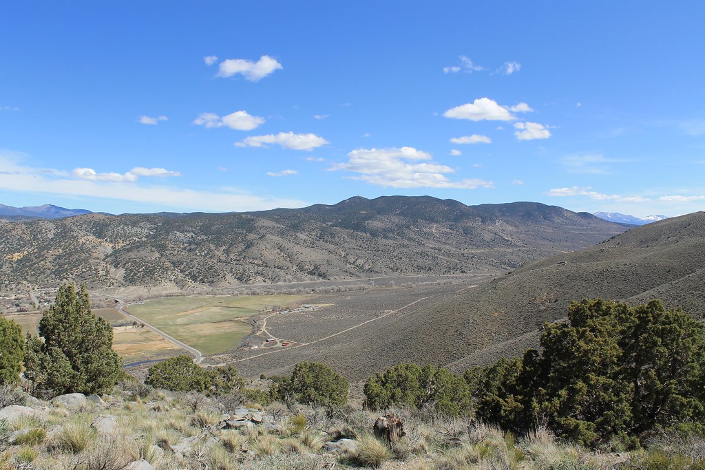 Photo: Nouhailler, CC BY-SA 2.0 (via Flickr)
Sagebrush Loop
~4 min drive
0.96-mile loop trail in Nevada with 123 ft elevation gain
 Photo: Nouhailler, CC BY-SA 2.0 (via Flickr)
Rocky Trail
~9 min drive
2.50-mile out-and-back hike in Nevada with 617 ft gain
 Photo: jfdervin, CC BY-SA 2.0 (via Flickr)
Capital to Tahoe
~6 min drive
20.24-mile out-and-back trail in Nevada with 1,776 ft gain
Photo: Nouhailler, CC BY-SA 2.0 (via Flickr)Bitterbrush Loop
~4 min drive
0.41-mile loop in Nevada with 116 ft elevation gain and loss.
HIKE
James Lee Loop 1
~7 min drive
3.34-mile out-and-back trail in Nevada with 175 ft gain.
 Photo: jfdervin, CC BY-SA 2.0 (via Flickr)
Franktown Creek Road
~8 min drive
5.22-mile out-and-back trail in Nevada with 2,545 ft elevation gain.
 Photo: jfdervin, CC BY-SA 2.0 (via Flickr)
Odyssey Trail
~4 min drive
1.18-mile out-and-back trail in Nevada with 535 ft elevation gain
Map and trail data © OpenStreetMap contributors

