Carson RV Resort
Campground
Campground · 2.5 mi from the trail
 Photo: Wheeler Cowperthwaite, CC BY 2.0 (via Flickr)
Closure in the area
There's a closure order in Carson Ranger District. It doesn't name C Hill Foothill Trail, so check the source for the area it covers (2 listed).
Hawk Fire Closure (Carson Ranger District)
Agency closure covering Carson Ranger District · Order 04-17-26-01-08 · USFS · Carson Ranger District
Elephant Fire Closure
Agency closure covering Humboldt-Toiyabe National Forest · Order 04-17-26-01-04 · USFS · Humboldt-Toiyabe National Forest
Floriston Fire Closure
Agency alert covering Carson Ranger District · Order 17-26-24 · USFS · Carson Ranger District
Power line construction along SR 88, Alpine County, California (Carson Ranger District)
Agency alert covering Carson Ranger District · USFS · Carson Ranger District
Over-Snow Vehicle Closure (Carson Ranger District)
Agency alert covering Carson Ranger District · Order 04-17-25-12 · USFS · Carson Ranger District
As of · Source: USFS · Carson Ranger District. Agencies don't list every closure — check before you go.
C Hill Foothill Trail is a short, easy hike in the Carson Ranger District of Humboldt-Toiyabe National Forest in Nevada, about 0.2 miles from the Carson Ranger District Office. The trail is an out-and-back that covers about 2 miles round trip, with a one-way climb of about 150 feet from a starting elevation of roughly 4,760 feet to a high point near 4,940 feet. The steepest stretch comes at about 0.37 miles in, where the grade reaches about 19 percent. Spring and fall are the most comfortable times to go. Typical averages from a nearby weather station in Carson City show May highs around 70°F and October highs around 68°F, while July averages about 90°F and winter brings highs in the mid-40s and a few snowy days a month. The Carson Ranger District Office sits just 0.2 miles away, and the C Mountain Foothill Trail, a mountain biking route, is about 0.3 miles off. Lincoln Bypass is about 1.4 miles away, and Washoe Lake State Park Campground is about 5.6 miles away.
Carson RV Resort
Campground
Crazy D's
Fast food
Places © OpenStreetMap contributors
More in Sunnyside-Tahoe CityNot on Roamze yet. Their page has how to reach them.
Best months: March–June and September–October. Best months have typical highs of 55–85 °F, lows of 30 °F or warmer (32 °F where the station doesn't record snow), at most one snowy day and no more than 12 wet days.
Jan
45° / 24°
6 wet · 2 snow
Feb
50° / 27°
6 wet · 1 snow
Mar
56° / 32°
5 wet · 1 snow
Apr
62° / 36°
3 wet
May
70° / 43°
3 wet
Jun
81° / 49°
2 wet
Jul
90° / 55°
1 wet
Aug
88° / 53°
1 wet
Sep
81° / 46°
1 wet
Oct
68° / 36°
2 wet
Nov
55° / 28°
3 wet · 1 snow
Dec
45° / 24°
5 wet · 1 snow
Typical high / low (°F) and days with rain or snow, 1991–2020. Measured at Carson City, NV, 2 mi away at 4,761 ft. Source: NOAA NCEI U.S. Climate Normals 1991–2020.
 Photo: jfdervin, CC BY-SA 2.0 (via Flickr)
C Mountain Foothill Trail
Next door
0.49-mile out-and-back hike on C Mountain's foothill with 194 ft gain.
 Photo: jfdervin, CC BY-SA 2.0 (via Flickr)
EZ Trail
~3 min drive
2.42-mile out-and-back hike in Nevada with 1,069 ft elevation gain
 Photo: jfdervin, CC BY-SA 2.0 (via Flickr)
Ash to Kings Trail
~5 min drive
14.20-mile out-and-back trail in Nevada with 546 ft elevation gain.
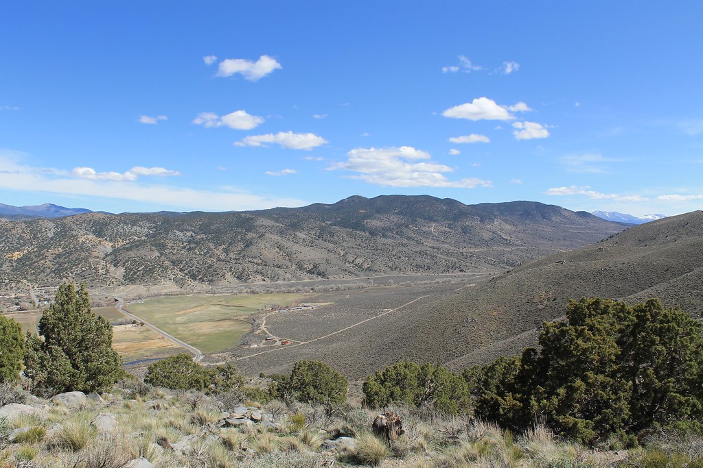 Photo: Nouhailler, CC BY-SA 2.0 (via Flickr)
Sagebrush Loop
~4 min drive
0.96-mile loop trail in Nevada with 123 ft elevation gain
 Photo: Nouhailler, CC BY-SA 2.0 (via Flickr)
Rocky Trail
~8 min drive
2.50-mile out-and-back hike in Nevada with 617 ft gain
 Photo: jfdervin, CC BY-SA 2.0 (via Flickr)
Capital to Tahoe
~5 min drive
20.24-mile out-and-back trail in Nevada with 1,776 ft gain
Photo: Nouhailler, CC BY-SA 2.0 (via Flickr)Bitterbrush Loop
~4 min drive
0.41-mile loop in Nevada with 116 ft elevation gain and loss.
HIKE
James Lee Loop 1
~8 min drive
3.34-mile out-and-back trail in Nevada with 175 ft gain.
 Photo: jfdervin, CC BY-SA 2.0 (via Flickr)
Franktown Creek Road
~8 min drive
5.22-mile out-and-back trail in Nevada with 2,545 ft elevation gain.
 Photo: jfdervin, CC BY-SA 2.0 (via Flickr)
Odyssey Trail
~5 min drive
1.18-mile out-and-back trail in Nevada with 535 ft elevation gain
Map and trail data © OpenStreetMap contributors

