Aviary Trail
- 0.8 mi
- round trip
- 29 ft
- climb
- 2,290 ft
- high point
- Out and back
- route
- Oct–Apr
- best months
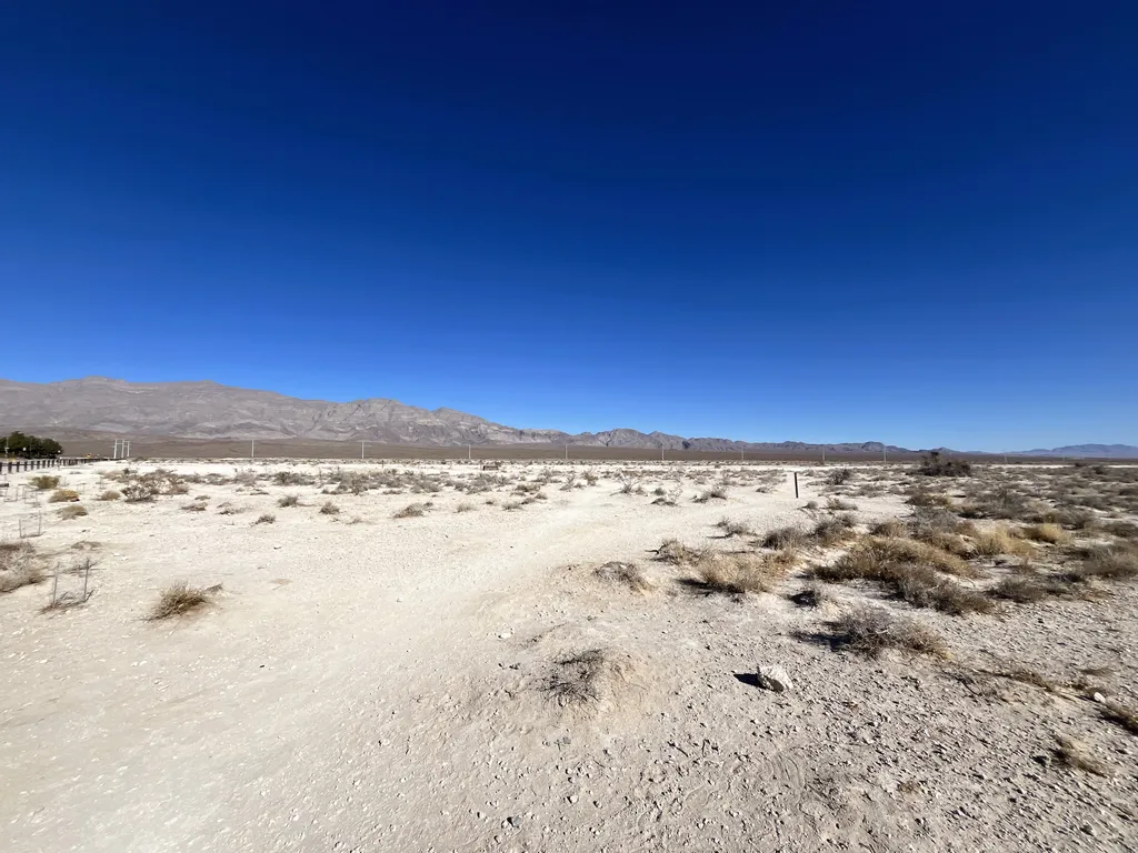
Aviary Trail is a short, easy out-and-back hike in southern Nevada, about 5.6 miles from the town of Wann. The trail is just over a mile long, with a total elevation gain of 29 feet, and it sits at around 2,275 to 2,290 feet. It's a low-effort walk for a quick break or a warm-up before exploring the area. The most comfortable months to visit are spring and fall. Typical averages from a nearby weather station in Las Vegas run from highs in the upper 70s in April to the low 80s in October, while summer highs climb into the 100s in July and August. The trail is estimated to take about half an hour, and it makes an easy pairing with other outings in the area. Aliante Loop Trailhead and Aliante Loop are both about 1.5 miles away. The Loop lies roughly 5.4 miles off, and climbers can find Urban Crag about 7.7 miles away.
 Aliante Loop TrailheadHikingPhoto: NPS / public domain1.5 mi
- Aliante LoopHiking1.5 mi
- The LoopHiking5.4 mi
- Urban CragRock climbing7.7 mi
 Cheap Beer CragRock climbingPhoto: Ken Lund, CC BY-SA 2.0 (via Flickr)7.7 mi
- Suburban CragRock climbing7.9 mi
- Exploration LoopHiking7.9 mi
- Lone MountainRock climbing7.9 mi
Source: Roamze catalog (indexable pages within 10 miles, PostGIS distance)
- Aliante Loop TrailheadHiking · ~3 min drive
- Aliante LoopHiking · ~3 min drive
- Gass Peak TrailHiking · ~17 min drive
- Lucky Strike TrailHiking · ~28 min drive
 Historic Spring MoundHiking · ~14 min drivePhoto: Jrozwado, CC BY-SA 4.0 (via Wikimedia Commons)
- Brownstone CanyonHiking · ~25 min drive
- Path to BoomtownHiking · ~14 min drivePhoto: Jrozwado, CC BY-SA 4.0 (via Wikimedia Commons)
- Kraft Mountain Loop TrailHiking · ~26 min drive
- CienegaHiking · ~14 min drivePhoto: Jrozwado, CC BY-SA 4.0 (via Wikimedia Commons)
 Hualapai Canyon TrailHiking · ~18 min drivePhoto: thmeeks, CC BY 2.0 (via Flickr)
Best time to visit Aviary Trail
Best months: October–April. Best months have typical highs of 55–85 °F, lows of 30 °F or warmer (32 °F where the station doesn't record snow), at most one snowy day and no more than 12 wet days.
Jan
58° / 39°
3 wet
Feb
62° / 43°
3 wet
Mar
70° / 49°
3 wet
Apr
78° / 55°
1 wet
May
88° / 64°
1 wet
Jun
99° / 74°
0 wet
Jul
104° / 80°
1 wet
Aug
102° / 77°
2 wet
Sep
94° / 70°
2 wet
Oct
81° / 58°
2 wet
Nov
67° / 46°
2 wet
Dec
56° / 38°
3 wet
Typical high / low (°F) and days with rain or snow, 1991–2020. Measured at Las Vegas Air Terminal, NV, 5.3 mi away at 2,203 ft. This station doesn't record snowfall. Source: NOAA NCEI U.S. Climate Normals 1991–2020.

Map and trail data © OpenStreetMap contributors
