Oldman Lake
 Photo: ludger.heide, CC BY-SA 2.0 (via Flickr)
- 0.8 mi
- round trip
- 426 ft
- climb
- 6,787 ft
- high point
- Out and back
- route
Is Oldman Lake open right now?
Closure in the area
There's a closure order in Glacier National Park. It doesn't name Oldman Lake, so check the source for the area it covers.
Going-to-the-Sun Road Seasonal Closure
Park closure covering Glacier National Park · NPS · Glacier National Park
As of · Source: NPS · Glacier National Park. Agencies don't list every closure — check before you go.
Oldman Lake is a short, easy out-and-back hike in Glacier National Park in Montana, managed by the National Park Service. The trail is less than a mile long, and the total elevation gain is about 426 feet, so it works well as a quick stop rather than a long day on the trail. The route starts near 6,590 feet and climbs to a high point of about 6,787 feet before returning to the starting level. The steepest stretch comes early on, at about 0.3 miles in, with a grade of roughly 11 percent. The whole trip takes about half an hour. Several other outings sit within a few miles. Two Medicine Creek, a canoeing route, is about 3.4 miles away, and the Paradise Point Trail and Scenic Point are both about 4 miles off. Running Eagle Falls Nature Trail is about 4.5 miles from the lake.
Local outfitters
- North American RV Park & Yurt Village28 mi away
- Rocky Mountain Outfitter46 mi away
Not on Roamze yet. Their page has how to reach them.
- Two Medicine CreekCanoeing3.4 mi
 Paradise Point TrailHikingPhoto: Greg Willis from Denver, CO, usa, CC BY-SA 2.0 (via Wikimedia Commons)4 mi
 Scenic PointHikingPhoto: GlacierNPS, Public Domain Mark (via Flickr)4.2 mi
 Running Eagle Falls Nature TrailHikingPhoto: Greg Willis from Denver, CO, usa, CC BY-SA 2.0 (via Wikimedia Commons)4.5 mi
- Lake IsabelHiking6.7 mi
- Milk River Ridge BdyHiking7.2 mi
Source: Roamze catalog (indexable pages within 10 miles, PostGIS distance)
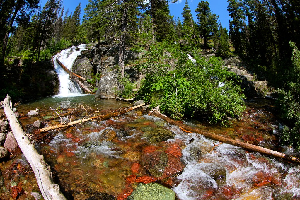 Dawson PassHiking · ~4 min drivePhoto: roy.luck, CC BY 2.0 (via Flickr)
- Paradise Point TrailHiking · ~7 min drivePhoto: Greg Willis from Denver, CO, usa, CC BY-SA 2.0 (via Wikimedia Commons)
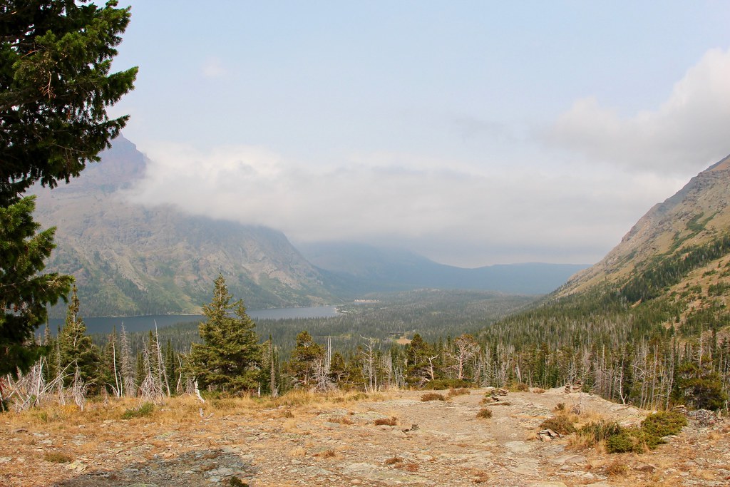 Two Med South ShoreHiking · ~7 min drivePhoto: daveynin, CC BY 2.0 (via Flickr)
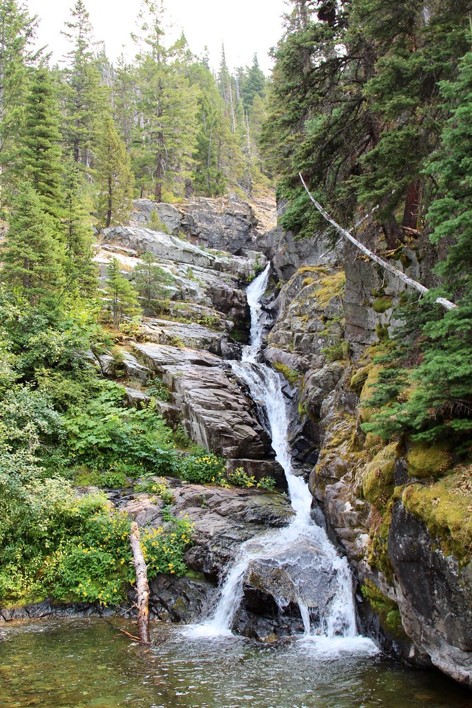 Aster ParkHiking · ~7 min drivePhoto: daveynin, CC BY 2.0 (via Flickr)
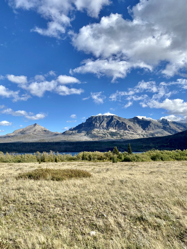 Rose Creek TrailHiking · ~22 min drivePhoto: w_lemay, CC BY-SA 2.0 (via Flickr)
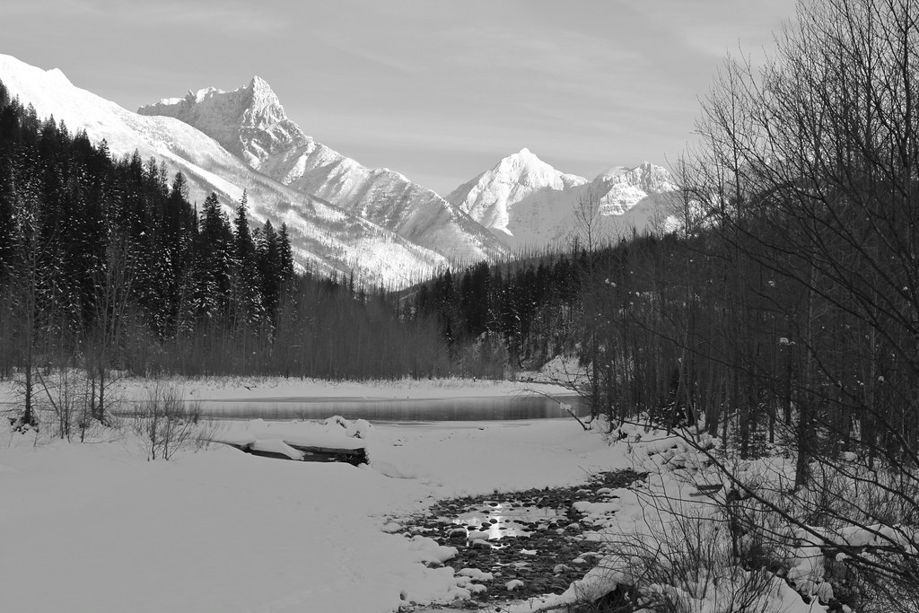 Coal CreekHiking · ~25 min drivePhoto: roy.luck, CC BY 2.0 (via Flickr)
- Running Eagle Falls Nature TrailHiking · ~8 min drivePhoto: Greg Willis from Denver, CO, usa, CC BY-SA 2.0 (via Wikimedia Commons)
 Dry ForkHiking · ~9 min drivePhoto: Arbron, CC BY 2.0 (via Flickr)
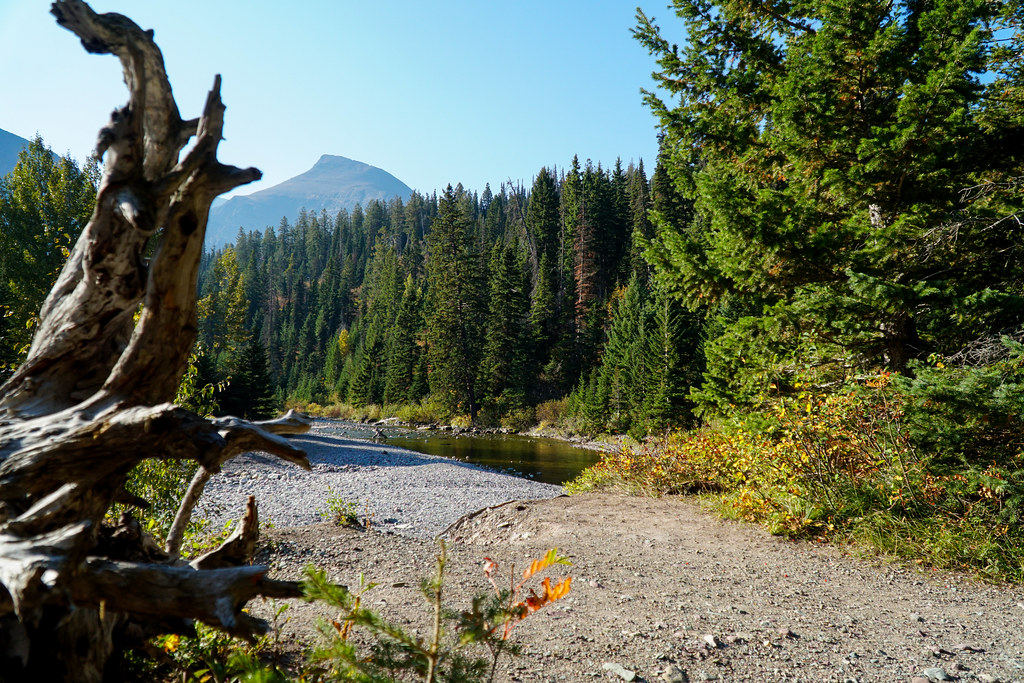 Running Eagle FallsHiking · ~8 min drivePhoto: GlacierNPS, Public Domain Mark (via Flickr)
- Cut Bank PassHiking · ~8 min drive
Map and trail data © OpenStreetMap contributors
