Montana · Summit
Stryker Peak
- 7,339 ft
- summit
- 1
- way up
Loading this week's forecast
Stryker Peak is a summit in Montana, 7339 feet elevation. It is reached by the Stryker Basin Trail, a 7.7-mile trail with 3343 feet of elevation gain.
Conditions and forecast
Daily highs and lows, wind and the chance of precipitation at the summit and route start for the next 7 days, from the Open-Meteo model.
- Summit elevation
- 7,339 ft
Elevation from USGS 3D Elevation Program terrain data (about 10 m resolution).
Map © Mapbox © OpenStreetMap contributors Questions about Stryker Peak
How tall is Stryker Peak?
7,339 ft (2,237 m).
How many routes go to the summit of Stryker Peak?
One: Stryker Basin Trail.
- Stryker Basin TrailHiking0.1 mi
 Stillwater RiverCanoeingPhoto: Joe Mabel (on Flickr as Joe Mabel from Seattle, US), CC BY-SA 3.0 (via Wikimedia Commons)1.5 mi
- Stryker BasinHiking2.1 mi
- Point of RocksRock climbing2.6 mi
- Mouse HouseRock climbing3 mi
- Old Fort Steele TrailHiking3.5 mi
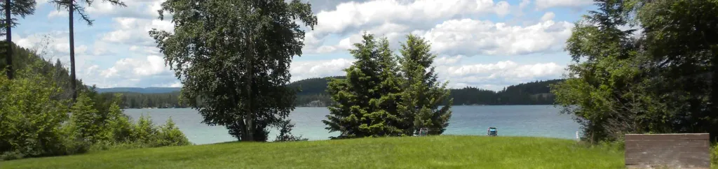 South Dickey LakeCampingPhoto: Recreation.gov (RIDB) / public domain5.7 mi
- Stillwater Lake CampgroundCamping5.8 mi
Source: Roamze catalog (indexable pages within 10 miles, PostGIS distance)
 Kintla PeakSummit · ~51 min drivePhoto: UnknownUnknown / Glacier National Park, Public domain (via Wikimedia Commons)
- Mount GibralterSummit · ~27 min drive
- Cleft Rock MountainSummit · ~29 min drive
- Cyclone PeakSummit · ~30 min drive
- Stahl PeakSummit · ~31 min drive
- Elk MountainSummit · ~32 min drive
- Davis MountainSummit · ~33 min drive
- Big MountainSummit · ~34 min drive
- Little Sutton MountainSummit · ~38 min drive
- Couldrey RidgeSummit · ~38 min drive
Also worth it near here
- Stillwater RiverCanoeing · ~3 min drivePhoto: Joe Mabel (on Flickr as Joe Mabel from Seattle, US), CC BY-SA 3.0 (via Wikimedia Commons)
- Fish LakeLake fishing · ~3 min drive
- Point of RocksRock climbing · ~4 min drive
- South Dickey LakeCamping · ~10 min drive
- Red Meadow SmCross-country skiing · ~11 min drive
