Lonesome Mountain
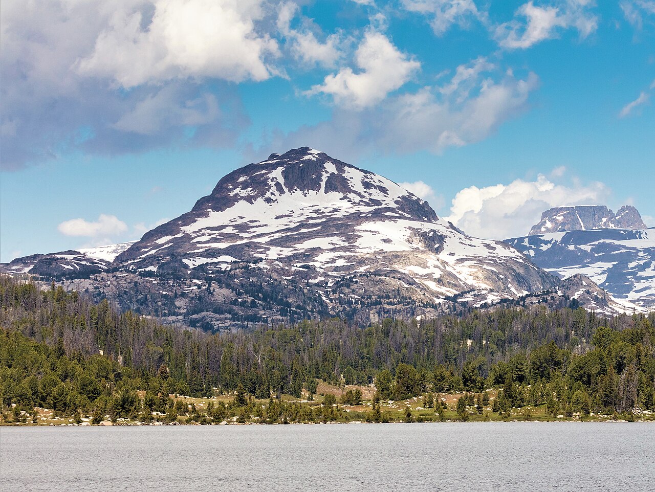 Photo: Yellowstone National Park NPS / Jacob W. Frank, Public domain (via Wikimedia Commons)
- 11,399 ft
- summit
Is Lonesome Mountain open right now?
Closure in the area
There's a closure order in Custer Gallatin National Forest. It doesn't name Lonesome Mountain, so check the source for the area it covers (14 listed).
NFSR #1700 South Plateau Road Closure
Agency closure covering Custer Gallatin National Forest · USFS · Custer Gallatin National Forest
Tom Miner Campground Closure
Agency closure covering Gardiner Ranger District · Order 01-11-03-26-02 · USFS · Gardiner Ranger District
Hyalite Porcupine Buffalo Horn Summer Interim Travel Order and Map and Order # 01-11-00-26-02
Agency closure covering Custer Gallatin National Forest · Order 01-11-00-26-02 · USFS · Custer Gallatin National Forest
Hyalite Porcupine Buffalo Horn Winter Interim Travel Order and Map Order Number: #01-11-00-26-01
Agency closure covering Custer Gallatin National Forest · USFS · Custer Gallatin National Forest
Glacier Lake Road #2421 Closure Order Number: # 01-11-82-26- 01
Agency closure covering Custer Gallatin National Forest · Order 01-11-82-26- · USFS · Custer Gallatin National Forest
As of · Source: USFS · Custer Gallatin National Forest. Agencies don't list every closure — check before you go.
Lonesome Mountain is a summit of about 11,399 feet in Carbon County, Montana, inside the Absaroka-Beartooth Wilderness. The peak falls within the Gardiner Ranger District of Custer Gallatin National Forest, and the nearest town is Richel Lodge, about 12 miles away. Because it sits in designated wilderness, this is backcountry terrain at high elevation, well above 11,000 feet at the top. The closest neighbors make useful additions to a trip. Green Lake, a hike about 2 miles away, and the Beartooth High Lakes Trail, a mountain biking route a little over 2 miles off, are the nearest. For overnight stays, Beartooth Lake Campground lies about 5 miles away and Island Lake Campground about 6 miles away, both across the line in Wyoming.
Conditions and forecast
Daily highs and lows, wind and the chance of precipitation at the summit for the next 7 days, from the Open-Meteo model.
- Summit elevation
- 11,399 ft
Elevation from USGS 3D Elevation Program terrain data (about 10 m resolution).
We don't know of a mapped trail or route to the summit of Lonesome Mountain. Plan the approach with local maps, a guidebook or a local guide, and check conditions before you go.
Questions about Lonesome Mountain
How tall is Lonesome Mountain?
11,399 ft (3,474 m).
Is there a trail to the top of Lonesome Mountain?
We don't know of a mapped trail or route to the summit. Plan the approach with local maps, a guidebook or a local guide.
- Windy Mountain10,266 ft · Wyoming1 route15 mi away
- Lookout Mountain9,871 ft · Montana1 route31 mi away
- Amethyst Mountain9,620 ft · Wyoming1 route35 mi away
- Pelican Cone9,652 ft · Wyoming1 route39 mi away
- Arch Rock7,310 ft · Montana1 route39 mi away
 Mount Washburn10,250 ft · Wyoming4 routes44 mi awayPhoto: Eumeldingens, CC BY 3.0 (via Wikimedia Commons)
- Green LakeHiking2.2 mi
- Beartooth High Lakes TrailMountain biking2.3 mi
 Beartooth Lake CampgroundCampingPhoto: Matt Lavin, CC BY-SA 2.0 (via Wikimedia Commons)4.8 mi
- Island Lake CampgroundCamping5.8 mi
- Beartooth CreekCanoeing7.1 mi
- Beartooth PassRock climbing7.3 mi
- Absaroka RangeRock climbing7.4 mi
- Beartooth RDRiver fishing8.3 mi
Source: Roamze catalog (indexable pages within 10 miles, PostGIS distance)
 Beartooth ButteSummit · ~7 min drivePhoto: Unknown authorUnknown author or not provided, Public domain (via Wikimedia Commons)
 Castle MountainSummit · ~11 min drivePhoto: Lpangelrob, CC BY-SA 3.0 (via Wikimedia Commons)
 Sundance MountainSummit · ~11 min drivePhoto: Matt Lavin, CC BY-SA 2.5 (via Wikimedia Commons)
 Pilot PeakSummit · ~24 min drivePhoto: Mike Cline, CC BY-SA 4.0 (via Wikimedia Commons)
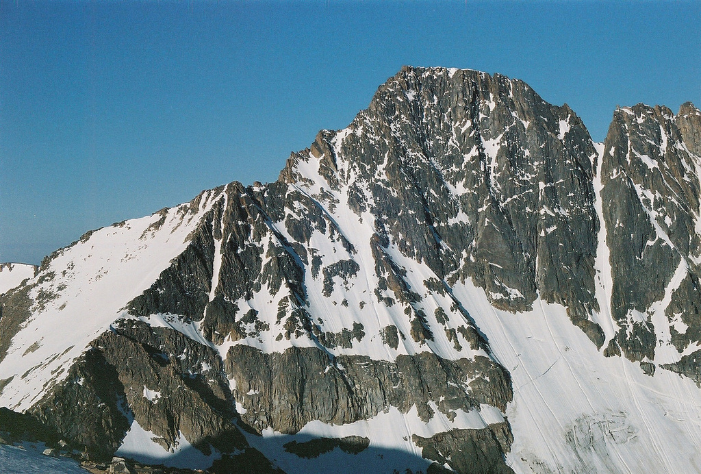 Granite PeakSummit · ~25 min drivePhoto: jfisher2167, CC BY 2.0 (via Wikimedia Commons)
 Mount VillardSummit · ~25 min drivePhoto: Whubsch, CC0 (via Wikimedia Commons)
 Abiathar PeakSummit · ~37 min drivePhoto: Mike Cline, Public domain (via Wikimedia Commons)
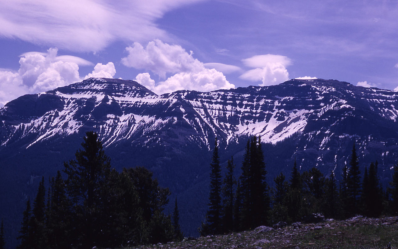 The ThundererSummit · ~41 min drivePhoto: RG Johnsson, Public domain (via Wikimedia Commons)
 Mount NorrisSummit · ~45 min drivePhoto: Mike Cline, Public domain (via Wikimedia Commons)
 Soda ButteSummit · ~50 min drivePhoto: HaSt, CC BY-SA 4.0 (via Wikimedia Commons)
Also worth it near here
- Abandoned LakeLake fishing · ~2 min drive
- Beartooth High Lakes TrailMountain biking · ~4 min drive
 Glacier Lake TrailHiking · ~5 min drivePhoto: Matt Lavin from Bozeman, Montana, USA, CC BY-SA 2.0 (via Wikimedia Commons)
- Beartooth Lake CampgroundCamping · ~8 min drivePhoto: Matt Lavin, CC BY-SA 2.0 (via Wikimedia Commons)
