Wyoming · Canoeing · Cody
Beartooth Creek
- 9.5 mi
- distance
- 9,577 ft
- high point
Caution today
Agency alerts are in effect for this area; weather is good · USFS, OpenWeather · checked 9 h ago
Is Beartooth Creek open right now?
Alert in the area
The Forest Service lists an alert for Shoshone National Forest.
Morrison Jeep Trail
Agency alert covering Shoshone National Forest · USFS · Shoshone National Forest
As of · Source: USFS · Shoshone National Forest. Agencies don't list every closure — check before you go.
Beartooth Creek is a 9.5-mile paddling stretch near Cody, Wyoming. It flows year-round. USGS models an average flow of about 52 cfs and a gradient of about 335.5 feet per mile. Land along it is managed by the U.S. Forest Service.
- Absaroka RangeRock climbing0.3 mi
 Beartooth Lake CampgroundCampingPhoto: Matt Lavin, CC BY-SA 2.0 (via Wikimedia Commons)2.5 mi
- Clarks Fork TrailHiking2.8 mi
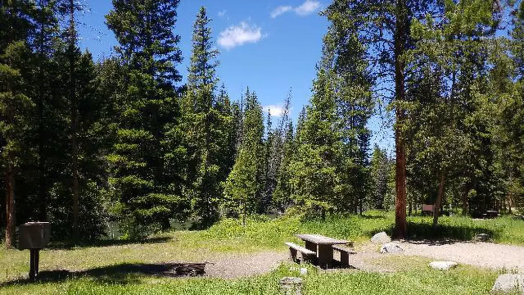 Hunter PeakCampingPhoto: Recreation.gov (RIDB) / public domain2.8 mi
- Beartooth Cr TrailHiking3 mi
 Clarks Fork Yellowstone RiverCanoeingPhoto: T. A. Jagger, Public domain (via Wikimedia Commons)6.6 mi
- Crandall CreekCanoeing6.8 mi
- Beartooth PassRock climbing8.4 mi
Source: Roamze catalog (indexable pages within 10 miles, PostGIS distance)
- Clarks Fork Yellowstone RiverCanoeing · ~11 min drivePhoto: T. A. Jagger, Public domain (via Wikimedia Commons)
- Hogan Reservoir Boat LaunchBoat launch · ~33 min drive
 Sunlight CreekCanoeing · ~24 min drivePhoto: Yellowstone National Park, Public domain (via Wikimedia Commons)
- North Fork Shoshone River Boat RampBoat launch · ~55 min drive
 Lamar RiverCanoeing · ~38 min drivePhoto: J. Schmidt, Public domain (via Wikimedia Commons)
- Andy Martin Hill Boat RampBoat launch · ~1h 6m drive
 North Fork Shoshone RiverCanoeing · ~44 min drivePhoto: Paul Hermans, CC BY-SA 4.0 (via Wikimedia Commons)
- Bridge Bay Boat Launch RampBoat launch · ~1h 23m drive
- Crandall CreekCanoeing · ~12 min drive
- Clarks Fork Boat LaunchBoat launch · ~29 min drive
