Bowman Creek
- 12.3 mi
- distance
- 6,294 ft
- high point
Is Bowman Creek open right now?
Closure in the area
There's a closure order in Glacier National Park. It doesn't name Bowman Creek, so check the source for the area it covers.
Going-to-the-Sun Road Seasonal Closure
Park closure covering Glacier National Park · NPS · Glacier National Park
As of · Source: NPS · Glacier National Park. Agencies don't list every closure — check before you go.
Bowman Creek is a 12-mile paddling stretch in Glacier National Park, near Polebridge, Montana. The National Park Service manages the land along the creek, and it flows year-round. Typical averages from a nearby weather station put the average flow at about 126 cubic feet per second with a gradient of about 221 feet per mile. Paddlers should plan for a fee, as the National Park Service charges for park activities here. The creek works as a steady route through the park's backcountry, and its consistent flow makes it a practical choice for a day or longer on the water. Bowman Lake Campground sits about 2.8 miles away, and the Numa Ridge Lookout Trail and Quartz Lake Loop are both within about 3 miles. For more paddling, Quartz Creek lies about 6 miles off.
Local outfitters
- Glacier Park Boat Company21 mi away
- North American RV Park & Yurt Village30 mi away
Not on Roamze yet. Their page has how to reach them.
 Numa Ridge Lookout TrailHikingPhoto: Mobilus In Mobili, CC BY-SA 2.0 (via Flickr)2.4 mi
- Bowman Lake CampgroundCamping2.8 mi
 Quartz Lake LoopHikingPhoto: lamblukas, CC BY 2.0 (via Flickr)3 mi
- Akokala Lake TrailHikingPhoto: Mobilus In Mobili, CC BY-SA 2.0 (via Flickr)3.1 mi
- Akokala Creek TrailHiking3.2 mi
- Quartz CreekCanoeing6 mi
- Ben Rover CabinCamping8.4 mi
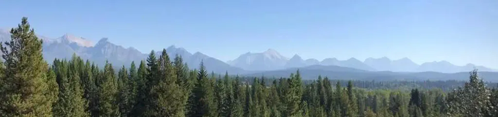 Schnaus CabinCampingPhoto: Recreation.gov (RIDB) / public domain8.8 mi
Source: Roamze catalog (indexable pages within 10 miles, PostGIS distance)
 Saint Mary RiverCanoeing · ~47 min drivePhoto: Royalbroil, CC BY-SA 3.0 (via Wikimedia Commons)
- Polebridge River AccessBoat launch · ~14 min drive
- Schnaus CabinFloat trip · ~15 min drive
- Tally Lake CampgroundStand up paddleboarding · ~1h 3m drive
 Stillwater RiverCanoeing · ~49 min drivePhoto: Joe Mabel (on Flickr as Joe Mabel from Seattle, US), CC BY-SA 3.0 (via Wikimedia Commons)
- Ford River Access Boating SiteBoat launch · ~16 min drive
- Quartz CreekCanoeing · ~10 min drive
- Canadian Border River AccessBoat launch · ~29 min drive
- Coal CreekCanoeing · ~26 min drive
- Great Northern Flats River AccessBoat launch · ~35 min drive

