Blue Mountain
- 6,044 ft
- summit
- 1
- way up
Is Blue Mountain open right now?
Closure in the area
There's a closure order in Kootenai National Forest. It doesn't name Blue Mountain, so check the source for the area it covers.
Kootenai Flood Event & Inaccessible Areas
Agency closure covering Kootenai National Forest · USFS · Kootenai National Forest
Updated Skillet Fire Area, Road, Trail Closure
Agency alert covering Kootenai National Forest · Order 01-10- · USFS · Kootenai National Forest
Trail Advisory-Alexander Mountain Trail near Timber Harvest Activities
Agency alert covering Libby Ranger District · USFS · Libby Ranger District
Timberlane Campground Closure
Agency alert covering Libby Ranger District · Order 01-14-05-26-03 · USFS · Libby Ranger District
As of · Source: USFS · Kootenai National Forest. Agencies don't list every closure — check before you go.
Blue Mountain is a summit in the Libby Ranger District of Kootenai National Forest in northwest Montana, about 9 miles from the town of Libby. The closest options for extending a trip are the Timberlane hike and Timberlane Campground, both roughly 3 miles away, and Banfield Ridge, about 4 miles off. Pipe Creek, a canoeing spot, sits about 6 miles from the summit.
Conditions and forecast
Daily highs and lows, wind and the chance of precipitation at the summit and route start for the next 7 days, from the Open-Meteo model.
- Summit elevation
- 6,044 ft
Elevation from USGS 3D Elevation Program terrain data (about 10 m resolution).
Map © Mapbox © OpenStreetMap contributors Questions about Blue Mountain
How tall is Blue Mountain?
6,044 ft (1,842 m).
How many routes go to the summit of Blue Mountain?
One: Blue Mountain.
Where do the routes up Blue Mountain start?
Blue Mountain starts at BLUE MTN TH 12W TOP (about 6,026 ft).
When is the best time to climb Blue Mountain?
May 1 – November 30.
- Fleetwood Point4,804 ft · Montana2 routes5.1 mi away
- Lost Soul Mountain6,170 ft · Montana2 routes5.8 mi away
- Alexander Mountain4,637 ft · Montana2 routes6.1 mi away
- Gold Hill5,543 ft · Montana1 route6.6 mi away
- Garden Ridge5,924 ft · Montana1 route9.6 mi away
- Mount Tom5,833 ft · Montana2 routes10 mi away
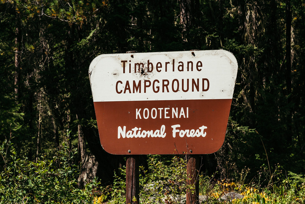 TimberlaneHikingPhoto: Tony Webster — CC BY 2.0 (via Flickr)3.3 mi
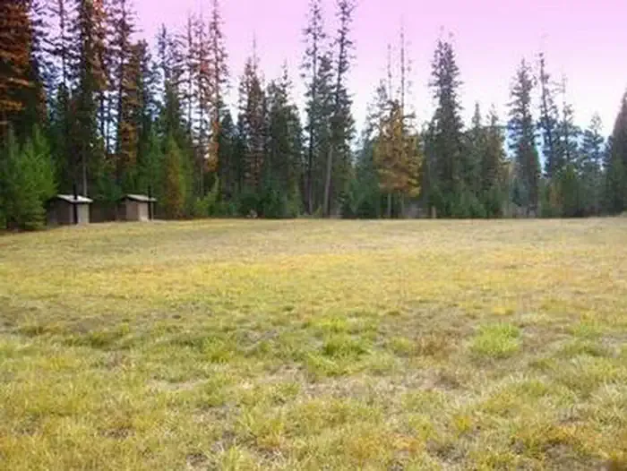 Timberlane CampgroundCampingPhoto: Recreation.gov (RIDB) / public domain3.4 mi
- Timberlane Loop BHiking3.5 mi
- Banfield RidgeHiking4.1 mi
- Pipe CreekCanoeing5.9 mi
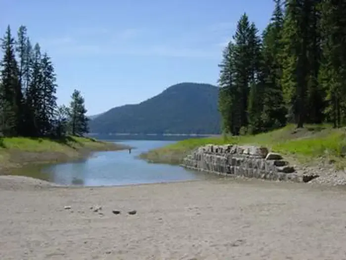 McGillivray Campground (MT)CampingPhoto: Recreation.gov (RIDB) / public domain7.1 mi
- Barron Creek Boating SiteRiver fishing7.4 mi
- Kootenai RiverRiver fishing9.2 mi
Source: Roamze catalog (indexable pages within 10 miles, PostGIS distance)
- Fleetwood PointSummit · ~9 min drive
- Alexander MountainSummit · ~10 min drive
- Mount TomSummit · ~17 min drive
- Big Creek Baldy MountainSummit · ~18 min drive
- Tony PeakSummit · ~19 min drive
- Quartz MountainSummit · ~20 min drive
- Flagstaff MountainSummit · ~21 min drive
- Flower PointSummit · ~21 min drive
- Scenery MountainSummit · ~23 min drive
- China MountainSummit · ~23 min drive
