Fr984-011 Mm6.7
Campground
Campground · 2.3 mi from the trail
Closure in the area
There's a closure order in Bozeman Ranger District. It doesn't name Crang, so check the source for the area it covers (16 listed).
Sourdough/Bozeman Creek Trailhead and Trail Closure
Agency closure covering Bozeman Ranger District · Order 01-11-06-27-02 · USFS · Bozeman Ranger District
NFSR #1700 South Plateau Road Closure
Agency closure covering Custer Gallatin National Forest · USFS · Custer Gallatin National Forest
Storm Castle Creek Trail #185 Temporarily Closed Due to Storm Damage
Agency closure covering Bozeman Ranger District · Order 01-11-06-26-07 · USFS · Bozeman Ranger District
Hyalite Porcupine Buffalo Horn Summer Interim Travel Order and Map and Order # 01-11-00-26-02
Agency closure covering Custer Gallatin National Forest · Order 01-11-00-26-02 · USFS · Custer Gallatin National Forest
Hyalite Porcupine Buffalo Horn Winter Interim Travel Order and Map Order Number: #01-11-00-26-01
Agency closure covering Custer Gallatin National Forest · USFS · Custer Gallatin National Forest
As of · Source: USFS · Bozeman Ranger District. Agencies don't list every closure — check before you go.
One of 17 climbs catalogued at District One, this route sits at the entry level of the Crack a Beer Wall sector. First ascent by E. Agee.
Fr984-011 Mm6.7
Campground
Places © OpenStreetMap contributors
More in Emigrant Big Sky AreaRock climbing · ~15 min drivePhoto: Peter Fisher-Duke (z…, CC BY-SA 3.0 (via Wikimedia Commons)
Also worth it near here
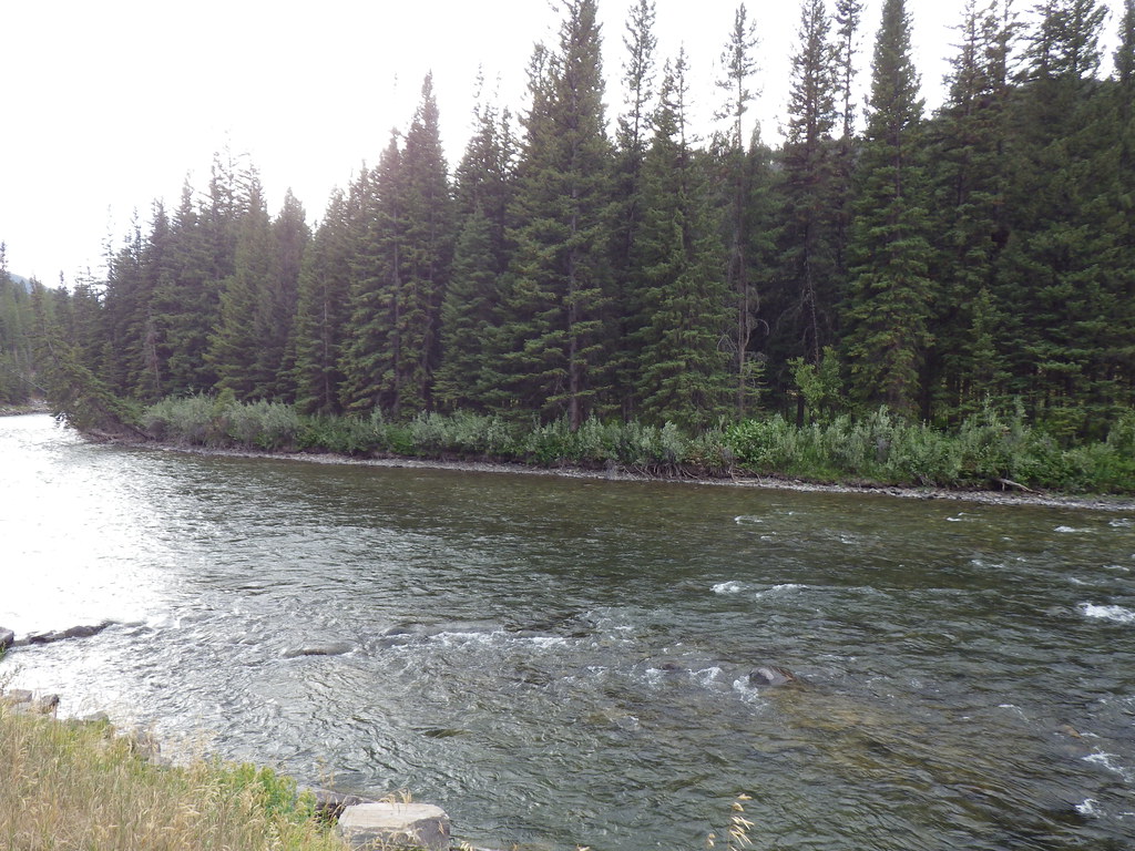 Upper Deer CreekHiking · ~6 min drivePhoto: Matt Lavin, CC BY-SA 2.0 (via Flickr)
 Gallatin RiverCanoeing · ~6 min drivePhoto: Jim from Lexington, KY, USA, CC BY-SA 2.0 (via Wikimedia Commons)
