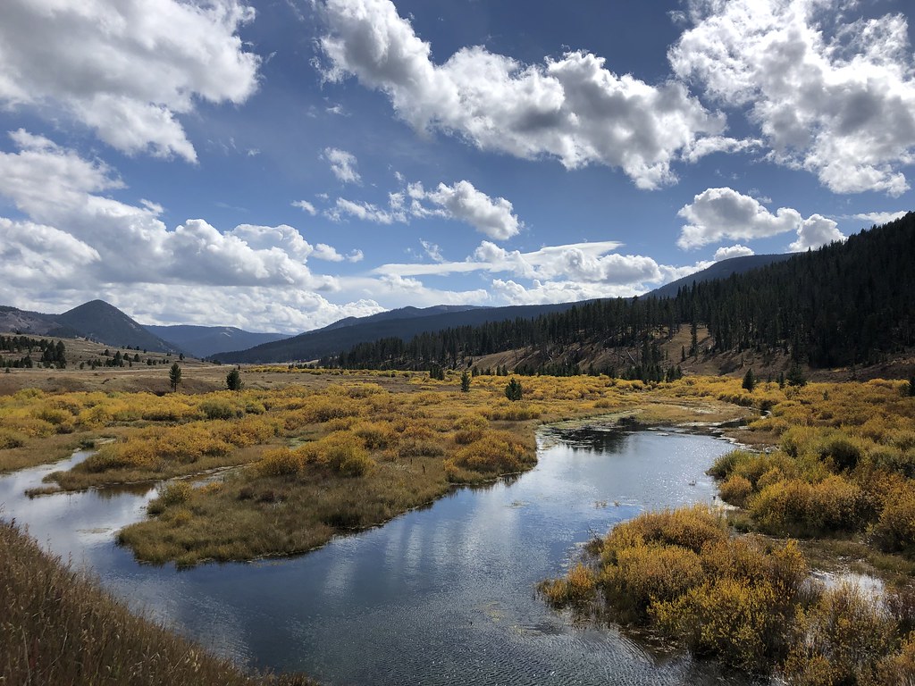
Slide Creek
- 5.1 mi
- round trip
- 1,744 ft
- climb
- Out and back
- route
- May–Sep
- best months
Is Slide Creek open right now?
Closure in the area
There's a closure order in Custer Gallatin National Forest. It doesn't name Slide Creek, so check the source for the area it covers (16 listed).
NFSR #1700 South Plateau Road Closure
Agency closure covering Custer Gallatin National Forest · USFS · Custer Gallatin National Forest
Lonesomewood Prescribed Fire Area, Road, and Trail Closure
Agency closure covering Hebgen Lake Ranger District · Order 01-11-07-26-03 · USFS · Hebgen Lake Ranger District
South Plateau Road #1700 Opening Delayed
Agency closure covering Hebgen Lake Ranger District · USFS · Hebgen Lake Ranger District
Hyalite Porcupine Buffalo Horn Summer Interim Travel Order and Map and Order # 01-11-00-26-02
Agency closure covering Custer Gallatin National Forest · Order 01-11-00-26-02 · USFS · Custer Gallatin National Forest
Hyalite Porcupine Buffalo Horn Winter Interim Travel Order and Map Order Number: #01-11-00-26-01
Agency closure covering Custer Gallatin National Forest · USFS · Custer Gallatin National Forest
As of · Source: USFS · Custer Gallatin National Forest. Agencies don't list every closure — check before you go.
Slide Creek is a 5.13-mile out-and-back trail in Montana with 1,744 feet of elevation gain. The route follows a defined path on federal land managed by the Forest Service.
- Nearby · Buffalo Horn · Hidden Lakes Trail · Dailey Pass
Best time to go · May–Sep
Best time to visit Slide Creek
Best months: May–September. Best months have typical highs of 55–85 °F, lows of 30 °F or warmer (32 °F where the station doesn't record snow), at most one snowy day and no more than 12 wet days.
Jan
23° / 3°
13 wet
Feb
28° / 5°
10 wet
Mar
38° / 14°
10 wet
Apr
47° / 23°
10 wet
May
58° / 32°
12 wet
Jun
68° / 39°
11 wet
Jul
79° / 45°
8 wet
Aug
78° / 43°
7 wet
Sep
68° / 37°
6 wet
Oct
51° / 28°
8 wet
Nov
34° / 18°
10 wet
Dec
23° / 6°
13 wet
Typical high / low (°F) and days with rain or snow, 1991–2020. Measured at Hebgen Dam, MT, 15.1 mi away at 6,489 ft. We don't have this place's elevation, so higher spots nearby can run cooler. This station doesn't record snowfall. Source: NOAA NCEI U.S. Climate Normals 1991–2020.
Keep exploring — more rides worth the drive
 Photo: Greg Willis from Denver, CO, usa, CC BY-SA 2.0 (via Wikimedia Commons)
Buffalo Horn
~10 min drive
0.34-mile trail in Montana's Ramshorn Peak system with 121 ft of elevation gain.
RIDE
Hidden Lakes Trail
~27 min drive
2.16-mile easy singletrack with 833 ft gain in Montana.
Photo: Greg Willis from Denver, CO, usa, CC BY-SA 2.0 (via Wikimedia Commons)Dailey Pass
~9 min drive
2.47-mile trail at Ramshorn Peak with 1,326 ft elevation gain
RIDE
Hidden Lakes Road
~28 min drive
2.25-mile easy gravel road with 1,411 ft gain in Montana
Photo: Greg Willis from Denver, CO, usa, CC BY-SA 2.0 (via Wikimedia Commons)Buffalo Horn Pass
~12 min drive
1.77-mile trail at Ramshorn Peak with 1,259 ft elevation gain.
RIDE
Crown Butte
~4 min drive
Crown Butte is a 0.63-mile trail at Ramshorn Peak with 209 ft of elevation gain.
RIDE
Wilson Draw
~6 min drive
Wilson Draw is a 2.31-mile trail at Ramshorn Peak with 1,194 ft of elevation gain.
RIDE
Meadow Creek
~9 min drive
3.74-mile out-and-back trail in Montana with 902 ft of elevation gain.
RIDE
Cinnamon Buck
~10 min drive
2.60-mile out-and-back trail in Montana with 998 ft of elevation gain.
RIDE
Tom Miner Divide South
~11 min drive
1.88-mile trail in Montana's Ramshorn Peak system with 794 ft elevation gain.