Loading…

Free — you'll pick up right here.
Watch this trail
Sign up to watch it — saving subscribes you to gate, closure and report changes.
Montana
0.1 mi
Distance
119 ft
Gain
An agency closure order is in effect for this area; weather is good
2 factors · 2 sources
Newest 19 h ago · oldest 28 d
problem: Agency alerts
5 active alerts in Helena-Lewis and Clark National Forest; most severe: December Windstorm Creates Hazards across the Forest
USFS28 d ago
clear: Weather
Clouds, high 59°F / low 37°F, 6% precip — 100/100 for mountain biking
OpenWeather19 h ago
Been out here in the last few days? One report keeps this current for everyone.
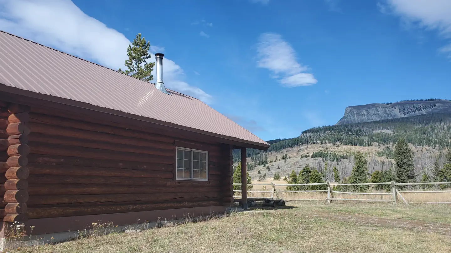
Mt Elmo Road
AI-suggested draft · review before you go
Mt Elmo Road — Montana, 0.1 mi.
No permit or access details on file for this trail — check with the local land manager before you go.
FS 8926
~3 min drive
1.7 mi · Easy
Castle Creek
~4 min drive
4.6-mile Montana trail via Crow Creek Trailhead system.
Bald Ridge Driveway
~7 min drive
5.5 mi · Moderate
Fairy Creek Trail
~58 min drive
3.2 mi · Hard
Lower Eagle Spur Road
~5 min drive
1.3 mi · Easy
Honey Run
~5 min drive
A 3-mile Montana trail at Crow Creek Trailhead offering accessible riding.
Upper Smith Connector Trail
~9 min drive
1.2 mi · Moderate
Middle Eagle Road
~5 min drive
0.2 mi · Easy
Loco Creek
~5 min drive
Quick Montana trail near Crow Creek Trailhead, ideal for warm-ups.
Smith Creek Road
~9 min drive
3.9 mi · Moderate